Loughermore山顶天气,396 米
- 19:006 °C西南 18 英里/小时0.3 mm
- 22:006 °C西南 17 英里/小时2.3 mm
- 1:008 °C西南 21 英里/小时1.8 mm
- 4:009 °C西南 16 英里/小时1.2 mm
- 7:009 °C西南 16 英里/小时0.2 mm
- 10:0010 °C西南 15 英里/小时–
- 13:0012 °C西南 16 英里/小时–
- 16:0011 °C西南 11 英里/小时–
| 日期 | 天气 | 最高 / 最低 | 雨 | 最大风速 |
|---|---|---|---|---|
| 10月28日周三 | 多云 | 12 °C / 7 °C | 4 mm | 21 英里/小时 |
| 10月29日周四 | 阴 | 12 °C / 9 °C | – | 21 英里/小时 |
| 10月30日周五 | 小雨 | 12 °C / 9 °C | 2.7 mm | 24 英里/小时 |
| 10月31日周六 | 中雨 | 12 °C / 9 °C | 7.8 mm | 8 英里/小时 |
| 11月1日周日 | 晴 | 9 °C / 6 °C | – | 8 英里/小时 |
| 11月2日周一 | 阴 | 9 °C / 3 °C | – | 11 英里/小时 |
| 11月3日周二 | 阴 | 10 °C / 7 °C | – | 9 英里/小时 |
预报来自 MET Norway(CC BY 4.0),更新于 GMT 13:17。时间均为当地时间。
基本信息
Loughermore附近的山峰
- Benbradagh465 米 · 14 公里外地图上
- Donald's Hill399 米 · 17 公里外地图上
- 貝尼文奈山385 米 · 17 公里外地图上
- Sawel Mountain678 米 · 19 公里外地图上
- Holywell Hill260 米 · 20 公里外地图上
- Mullaghmore550 米 · 21 公里外地图上
- Slieve Snaght615 米 · 28 公里外地图上
- Raghtin More502 米 · 35 公里外地图上
- Slieve Gallion528 米 · 35 公里外地图上
- Mullaghcarn542 米 · 36 公里外地图上
Sperrins最高峰
- Sawel Mountain678 米地图上
- Mullaghcarn542 米地图上
- Loughermore396 米地图上
英国最高的山
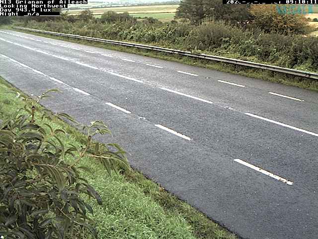
Loughermore附近的网络摄像头

Loughermore周边的历史
- Bloody Sunday1972
- Greysteel massacre1993
- Battle of the Bogside1969
- 2021 Northern Ireland riots2021
- Siege of Derry1689
- 2018 Derry riots2018
- 1996 Derry riots1996
- Ballykelly disco bombing: The Irish National Liberation Army killed 17 people in a bomb attack at the Droppin Well Inn, Ballykelly, County Londonderry1982