Montañas de Reino Unido
Loughermore
396 m1299 ft
Montaña · Sperrins · Reino Unido
Loughermore is a mountain in County Londonderry, Northern Ireland. It is the 847th highest mountain in Ireland and lies in a large uplands area known as the Loughermore Hills, which is bounded to the west and south by the Rivers Faughan and Foreglen and to the east, by the River Roe.
De Wikipedia, CC BY-SA · Leer el artículo
En la cumbre · pronóstico para las 23:00
6 °CLluvia fuerte · viento de 17 mph del S
 Verla en 3D
Clima en la cumbre de Loughermore, 396 m
- 23:006 °CS 17 mph3,1 mm
- 2:008 °CSO 19 mph0,8 mm
- 5:009 °CSO 14 mph1 mm
- 8:009 °CSO 16 mph0,1 mm
- 11:0011 °CSO 15 mph–
- 14:0012 °CSO 15 mph–
- 17:0010 °CSO 11 mph–
- 20:009 °CS 11 mph–
| Día | Cielo | Máx. / mín. | Lluvia | Viento hasta |
|---|---|---|---|---|
| mié, 28 oct | Parcialmente nublado | 12 °C / 7 °C | 4 mm | 21 mph |
| jue, 29 oct | Nublado | 12 °C / 9 °C | – | 21 mph |
| vie, 30 oct | Lluvia débil | 12 °C / 9 °C | 2,7 mm | 24 mph |
| sáb, 31 oct | Lluvia | 12 °C / 9 °C | 7,8 mm | 8 mph |
| dom, 1 nov | Despejado | 9 °C / 6 °C | – | 8 mph |
| lun, 2 nov | Nublado | 9 °C / 3 °C | – | 11 mph |
| mar, 3 nov | Nublado | 10 °C / 7 °C | – | 9 mph |
Pronóstico de MET Norway (CC BY 4.0), actualizado a las 17:17 GMT. Horas locales.
Ficha técnica
- Tipo
- Montaña
- Altitud sobre el nivel del mar
- 396 m (1299 ft)
- Prominencia
- 270 m (886 ft)
- Cordillera
- Sperrins
- País
- Reino Unido
- Coordenadas
- 54.985°N 7.081°W
- Fuente
- Wikidata, CC0
Picos cerca de Loughermore
- Benbradagh465 m · a 14 kmEn el mapa
- Donald's Hill399 m · a 17 kmEn el mapa
- Binevenagh385 m · a 17 kmEn el mapa
- Sawel Mountain678 m · a 19 kmEn el mapa
- Holywell Hill260 m · a 20 kmEn el mapa
- Mullaghmore550 m · a 21 kmEn el mapa
- Slieve Snaght615 m · a 28 kmEn el mapa
- Raghtin More502 m · a 35 kmEn el mapa
- Slieve Gallion528 m · a 35 kmEn el mapa
- Mullaghcarn542 m · a 36 kmEn el mapa
Los más altos de Sperrins
- Sawel Mountain678 mEn el mapa
- Mullaghcarn542 mEn el mapa
- Loughermore396 mEn el mapa
Montañas más altas de Reino Unido
- Pico Nordenskjöld2355 mEn el mapa
- Monte Carse2330 mEn el mapa
- Pico Pan de Azúcar2325 mEn el mapa
- Monte Roots2280 mEn el mapa
- Monte Paterson2195 mEn el mapa
- Pico de la Reina María2062 mEn el mapa
- Monte Baume1910 mEn el mapa
- Monte Macklin1900 mEn el mapa
- Monte Fagerli1880 mEn el mapa
- Monte Brooker1880 mEn el mapa
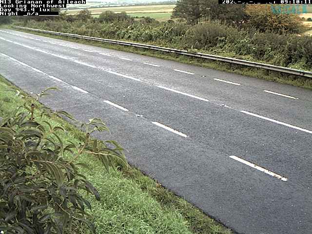
Cámaras web cerca de Loughermore

Historia alrededor de Loughermore
- Bloody Sunday1972
- Greysteel massacre1993
- Battle of the Bogside1969
- 2021 Northern Ireland riots2021
- Siege of Derry1689
- 2018 Derry riots2018
- 1996 Derry riots1996
- Ballykelly disco bombing: The Irish National Liberation Army killed 17 people in a bomb attack at the Droppin Well Inn, Ballykelly, County Londonderry1982