イギリスの山
Loughermore
396 m1,299 ft
山 · Sperrins · イギリス
Loughermore is a mountain in County Londonderry, Northern Ireland. It is the 847th highest mountain in Ireland and lies in a large uplands area known as the Loughermore Hills, which is bounded to the west and south by the Rivers Faughan and Foreglen and to the east, by the River Roe.
出典: Wikipedia、CC BY-SA · 記事を読む
山頂 · 5:00 の予報
6 °C小雨 · 南西の風 26 mph
 3D で見る
Loughermore 山頂の天気(396 m)
- 5:006 °C南西 26 mph1.3 mm
- 8:006 °C南西 22 mph0.5 mm
- 11:008 °C西 22 mph0.5 mm
- 14:008 °C南西 20 mph0.4 mm
- 17:007 °C南西 17 mph0.6 mm
- 20:006 °C南西 16 mph1.1 mm
- 23:006 °C南 17 mph1.2 mm
- 2:008 °C南西 19 mph1.4 mm
| 日付 | 天気 | 最高 / 最低 | 雨 | 最大風速 |
|---|---|---|---|---|
| 今日 | 雨 | 9 °C / 6 °C | 4.4 mm | 26 mph |
| 10月28日(水) | 晴れ | 12 °C / 7 °C | 3 mm | 20 mph |
| 10月29日(木) | 晴れ時々曇り | 12 °C / 8 °C | – | 18 mph |
| 10月30日(金) | 晴れ | 11 °C / 7 °C | 2.5 mm | 23 mph |
| 10月31日(土) | 曇り | 8 °C / 6 °C | 3.7 mm | 5 mph |
| 11月1日(日) | 晴れ | 9 °C / 4 °C | – | 5 mph |
| 11月2日(月) | 快晴 | 9 °C / 3 °C | – | 6 mph |
MET Norway(CC BY 4.0)による予報。05:20 GMT 更新。時刻は現地時間です。
基本データ
- 種類
- 山
- 標高
- 396 m (1,299 ft)
- プロミネンス
- 270 m (886 ft)
- 山脈
- Sperrins
- 国
- イギリス
- 座標
- 54.985°N 7.081°W
Loughermore周辺の山
- Benbradagh465 m · 14 km先地図上
- Donald's Hill399 m · 17 km先地図上
- Binevenagh385 m · 17 km先地図上
- Sawel Mountain678 m · 19 km先地図上
- Holywell Hill260 m · 20 km先地図上
- Mullaghmore550 m · 21 km先地図上
- Slieve Snaght615 m · 28 km先地図上
- Raghtin More502 m · 35 km先地図上
- Slieve Gallion528 m · 35 km先地図上
- Mullaghcarn542 m · 36 km先地図上
Sperrinsの最高峰
- Sawel Mountain678 m地図上
- Mullaghcarn542 m地図上
- Loughermore396 m地図上
イギリスの高い山
- Nordenskjöld Peak2,355 m地図上
- カース山2,330 m地図上
- Mount Sugartop2,325 m地図上
- Mount Roots2,280 m地図上
- Mount Paterson2,195 m地図上
- クィーン・メアリー・ピーク2,062 m地図上
- Mount Baume1,910 m地図上
- Mount Macklin1,900 m地図上
- Mount Fagerli1,880 m地図上
- Mount Brooker1,880 m地図上
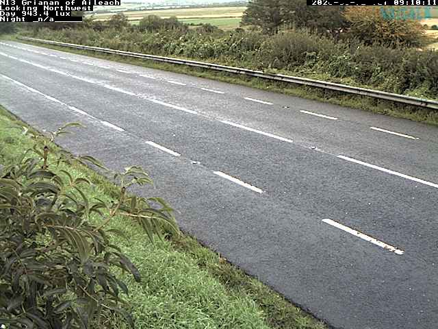
Loughermore周辺のライブカメラ

Loughermore周辺の歴史
- Bloody Sunday1972
- Greysteel massacre1993
- Battle of the Bogside1969
- 2021 Northern Ireland riots2021
- Siege of Derry1689
- 2018 Derry riots2018
- 1996 Derry riots1996
- Ballykelly disco bombing: The Irish National Liberation Army killed 17 people in a bomb attack at the Droppin Well Inn, Ballykelly, County Londonderry1982