Facts
- What it is
- Mountain
- Height above sea level
- 396 m (1,299 ft)
- Prominence
- 270 m (886 ft)
- Range
- Sperrins
- Country
- United Kingdom
- Coordinates
- 54.985°N 7.081°W
- Source
- Wikidata, CC0
Peaks near Loughermore
- Benbradagh465 m · 14 km awayOn the map
- Donald's Hill399 m · 17 km awayOn the map
- Binevenagh385 m · 17 km awayOn the map
- Sawel Mountain678 m · 19 km awayOn the map
- Holywell Hill260 m · 20 km awayOn the map
- Mullaghmore550 m · 21 km awayOn the map
- Slieve Snaght615 m · 28 km awayOn the map
- Raghtin More502 m · 35 km awayOn the map
- Slieve Gallion528 m · 35 km awayOn the map
- Mullaghcarn542 m · 36 km awayOn the map
Highest in the Sperrins
- Sawel Mountain678 mOn the map
- Mullaghcarn542 mOn the map
- Loughermore396 mOn the map
Highest mountains in United Kingdom
- Nordenskjöld Peak2,355 mOn the map
- Mount Carse2,330 mOn the map
- Mount Sugartop2,325 mOn the map
- Mount Roots2,280 mOn the map
- Mount Paterson2,195 mOn the map
- Queen Mary's Peak2,062 mOn the map
- Mount Baume1,910 mOn the map
- Mount Macklin1,900 mOn the map
- Mount Fagerli1,880 mOn the map
- Mount Brooker1,880 mOn the map
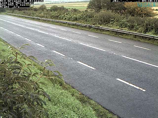
Webcams near Loughermore

History around Loughermore
- Bloody Sunday1972
- Greysteel massacre1993
- Battle of the Bogside1969
- 2021 Northern Ireland riots2021
- Siege of Derry1689
- 2018 Derry riots2018
- 1996 Derry riots1996
- Ballykelly disco bombing: The Irish National Liberation Army killed 17 people in a bomb attack at the Droppin Well Inn, Ballykelly, County Londonderry1982