Mountains in Ireland
Raghtin More
502 m1,647 ft
Mountain · Ireland
Raghtin More or Slieve Keeroge is a mountain with a height of 502 metres (1,647 ft) in Inishowen, County Donegal, Ireland. There is a megalithic cairn on its summit, which can be climbed from Mamore Gap. From the summit there is a view of Lough Swilly and the coast stretching to Malin Head.
From Wikipedia, CC BY-SA · Read the article
At the summit · forecast for 12:00 AM
9 °CPartly cloudy · wind 38 km/h from the SW
 See it in 3D
Weather at the summit of Raghtin More, 502 m
- 12:00 AM9 °CSW 38 km/h0.1 mm
- 3:00 AM6 °CSW 45 km/h2 mm
- 6:00 AM5 °CSW 48 km/h1.8 mm
- 9:00 AM6 °CW 59 km/h0.8 mm
- 12:00 PM8 °CW 49 km/h2.2 mm
- 3:00 PM6 °CSW 48 km/h0.7 mm
- 6:00 PM5 °CSW 39 km/h1 mm
- 9:00 PM5 °CSW 30 km/h3.3 mm
| Day | Sky | High / low | Rain | Wind up to |
|---|---|---|---|---|
| Today | Rain | 9 °C / 5 °C | 11.9 mm | 59 km/h |
| Wed, Oct 28 | Cloudy | 11 °C / 7 °C | 4 mm | 47 km/h |
| Thu, Oct 29 | Partly cloudy | 11 °C / 7 °C | 0.2 mm | 32 km/h |
| Fri, Oct 30 | Mostly clear | 10 °C / 6 °C | 2.8 mm | 36 km/h |
| Sat, Oct 31 | Cloudy | 8 °C / 5 °C | 4.1 mm | 9 km/h |
| Sun, Nov 1 | Partly cloudy | 9 °C / 5 °C | 0.1 mm | 8 km/h |
| Mon, Nov 2 | Clear | 8 °C / 2 °C | – | 13 km/h |
Forecast by MET Norway (CC BY 4.0), updated 11:20 PM GMT. Times are local.
Facts
- What it is
- Mountain
- Height above sea level
- 502 m (1,647 ft)
- Country
- Ireland
- Coordinates
- 55.206°N 7.467°W
- Source
- Wikidata, CC0
Peaks near Raghtin More
- Slieve Snaght615 m · 8.5 km awayOn the map
- Holywell Hill260 m · 23 km awayOn the map
- Loughermore396 m · 35 km awayOn the map
- Muckish666 m · 35 km awayOn the map
- Binevenagh385 m · 36 km awayOn the map
- Crocknalaragagh471 m · 38 km awayOn the map
- Aghla Beg603 m · 40 km awayOn the map
- Aghla More584 m · 42 km awayOn the map
- Mackoght555 m · 44 km awayOn the map
- Errigal749 m · 45 km awayOn the map
Highest mountains in Ireland
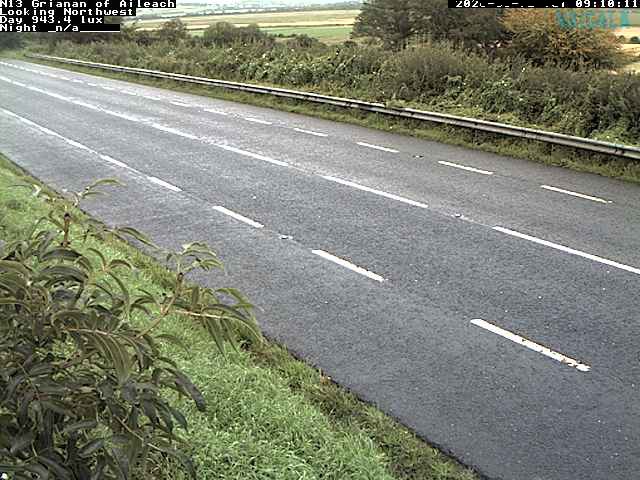
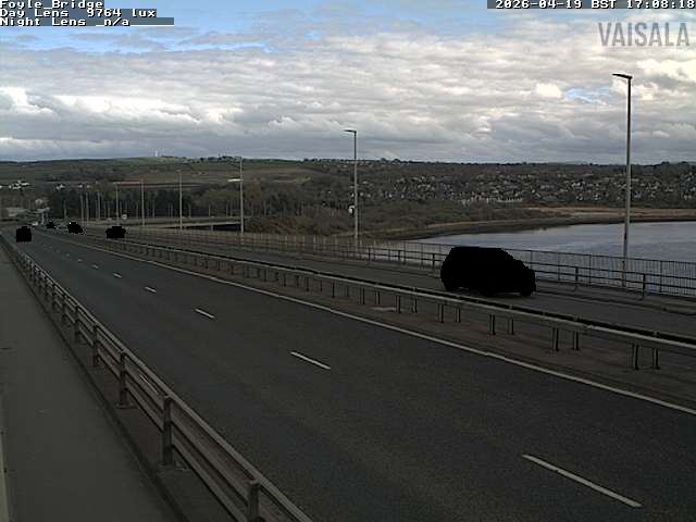
Webcams near Raghtin More
History around Raghtin More
Towns near Raghtin More
- Derry25 km away
- Letterkenny33 km away
- Coleraine51 km away
- Omagh68 km away