Montagnes de Irlande
Raghtin More
502 m1 647 ft
Montagne · Irlande
Raghtin More or Slieve Keeroge is a mountain with a height of 502 metres (1,647 ft) in Inishowen, County Donegal, Ireland. There is a megalithic cairn on its summit, which can be climbed from Mamore Gap. From the summit there is a view of Lough Swilly and the coast stretching to Malin Head.
Source : Wikipedia, CC BY-SA · Lire l’article
Au sommet · prévision pour 5:00
8 °CPluie faible · vent 33 km/h du SO
 Voir en 3D
Météo au sommet : Raghtin More, 502 m
- 5:008 °CSO 33 km/h0,6 mm
- 8:008 °CSO 28 km/h0,5 mm
- 11:0010 °CSO 33 km/h0,1 mm
- 14:0011 °CSO 31 km/h–
- 17:009 °CSO 19 km/h–
- 20:008 °CS 20 km/h–
- 23:008 °CS 26 km/h–
- 2:008 °CS 26 km/h–
| Jour | Ciel | Max. / min. | Pluie | Vent jusqu’à |
|---|---|---|---|---|
| Aujourd’hui | Partiellement nuageux | 11 °C / 8 °C | 1,2 mm | 35 km/h |
| jeu. 29 oct. | Nuageux | 11 °C / 8 °C | – | 36 km/h |
| ven. 30 oct. | Nuageux | 11 °C / 6 °C | 0,6 mm | 47 km/h |
| sam. 31 oct. | Pluie | 10 °C / 7 °C | 10,3 mm | 15 km/h |
| dim. 1 nov. | Plutôt dégagé | 9 °C / 5 °C | – | 13 km/h |
| lun. 2 nov. | Nuageux | 8 °C / 3 °C | – | 19 km/h |
| mar. 3 nov. | Nuageux | 9 °C / 7 °C | 0,4 mm | 17 km/h |
Prévisions de MET Norway (CC BY 4.0), mises à jour à 19:17 UTC. Heures locales.
Fiche technique
- Type
- Montagne
- Altitude
- 502 m (1 647 ft)
- Pays
- Irlande
- Coordonnées
- 55.206°N 7.467°W
- Source
- Wikidata, CC0
Sommets près de Raghtin More
- Slieve Snaght615 m · à 8,5 kmSur la carte
- Holywell Hill260 m · à 23 kmSur la carte
- Loughermore396 m · à 35 kmSur la carte
- An Mhucais666 m · à 35 kmSur la carte
- Binevenagh385 m · à 36 kmSur la carte
- Crocknalaragagh471 m · à 38 kmSur la carte
- Aghla Beg603 m · à 40 kmSur la carte
- Aghla More584 m · à 42 kmSur la carte
- Mackoght555 m · à 44 kmSur la carte
- mont Errigal749 m · à 45 kmSur la carte
Plus hautes montagnes : Irlande
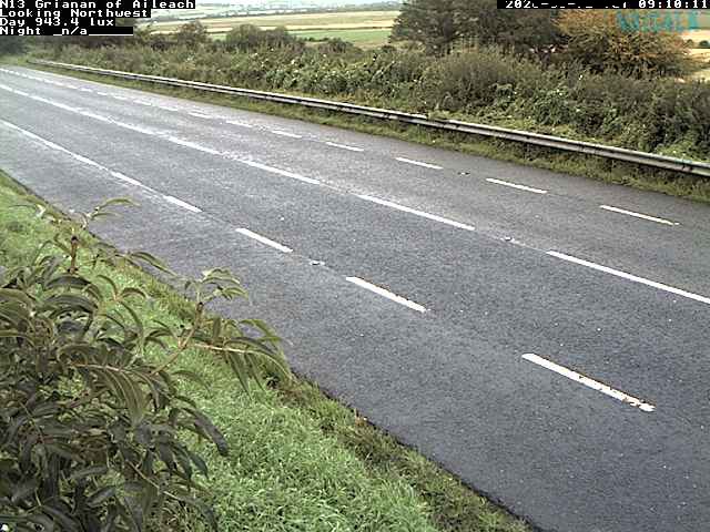
Webcams près de Raghtin More

Histoire autour de Raghtin More
Villes près de Raghtin More
- Derryà 25 km
- Letterkennyà 33 km
- Coleraineà 51 km
- Omaghà 68 km