Montañas de Irlanda
Raghtin More
502 m1647 ft
Montaña · Irlanda
Raghtin More or Slieve Keeroge is a mountain with a height of 502 metres (1,647 ft) in Inishowen, County Donegal, Ireland. There is a megalithic cairn on its summit, which can be climbed from Mamore Gap. From the summit there is a view of Lough Swilly and the coast stretching to Malin Head.
De Wikipedia, CC BY-SA · Leer el artículo
En la cumbre · pronóstico para las 1:00
7 °CMayormente despejado · viento de 40 km/h del SO
 Verla en 3D
Clima en la cumbre de Raghtin More, 502 m
- 1:007 °CSO 40 km/h0,1 mm
- 4:006 °CSO 45 km/h3,2 mm
- 7:005 °CSO 50 km/h0,9 mm
- 10:007 °CO 56 km/h0,6 mm
- 13:008 °CO 53 km/h2,4 mm
- 16:006 °CSO 42 km/h1 mm
- 19:005 °CSO 37 km/h1 mm
- 22:005 °CSO 27 km/h4,1 mm
| Día | Cielo | Máx. / mín. | Lluvia | Viento hasta |
|---|---|---|---|---|
| Hoy | Lluvia | 8 °C / 5 °C | 11,9 mm | 59 km/h |
| mié, 28 oct | Nublado | 11 °C / 7 °C | 4 mm | 47 km/h |
| jue, 29 oct | Parcialmente nublado | 11 °C / 7 °C | 0,2 mm | 32 km/h |
| vie, 30 oct | Mayormente despejado | 10 °C / 6 °C | 2,8 mm | 36 km/h |
| sáb, 31 oct | Nublado | 8 °C / 5 °C | 4,1 mm | 9 km/h |
| dom, 1 nov | Parcialmente nublado | 9 °C / 5 °C | 0,1 mm | 8 km/h |
| lun, 2 nov | Despejado | 8 °C / 2 °C | – | 13 km/h |
Pronóstico de MET Norway (CC BY 4.0), actualizado a las 23:20 GMT. Horas locales.
Ficha técnica
- Tipo
- Montaña
- Altitud sobre el nivel del mar
- 502 m (1647 ft)
- País
- Irlanda
- Coordenadas
- 55.206°N 7.467°W
- Fuente
- Wikidata, CC0
Picos cerca de Raghtin More
- Slieve Snaght615 m · a 8,5 kmEn el mapa
- Holywell Hill260 m · a 23 kmEn el mapa
- Loughermore396 m · a 35 kmEn el mapa
- Muckish666 m · a 35 kmEn el mapa
- Binevenagh385 m · a 36 kmEn el mapa
- Crocknalaragagh471 m · a 38 kmEn el mapa
- Aghla Beg603 m · a 40 kmEn el mapa
- Aghla More584 m · a 42 kmEn el mapa
- Mackoght555 m · a 44 kmEn el mapa
- Errigal749 m · a 45 kmEn el mapa
Montañas más altas de Irlanda
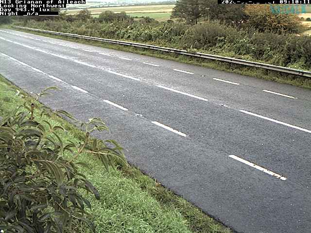
Cámaras web cerca de Raghtin More

Historia alrededor de Raghtin More
Ciudades cerca de Raghtin More
- Derrya 25 km
- Letterkennya 33 km
- Colerainea 51 km
- Omagha 68 km