Slieve Snaght
615 m2018 ft
Montaña · Irlanda
Slieve Snaght is a mountain in the middle of the Inishowen peninsula of County Donegal, Ireland. It rises to a height of 615 metres (2,018 ft), making it the highest mountain in Inishowen, and is one of the northernmost mountains of Ireland.
De Wikipedia, CC BY-SA · Leer el artículo
En la cumbre · pronóstico para las 7:00
7 °CNublado · viento de 23 km/h del SO
 Verla en 3D
Clima en la cumbre de Slieve Snaght, 615 m
- 7:007 °CSO 23 km/h0,2 mm
- 10:008 °CSO 26 km/h0,6 mm
- 13:0010 °CSO 26 km/h–
- 16:009 °CSO 18 km/h–
- 19:007 °CSO 16 km/h–
- 22:007 °CS 21 km/h–
- 1:008 °CS 23 km/h–
- 4:007 °CS 20 km/h–
| Día | Cielo | Máx. / mín. | Lluvia | Viento hasta |
|---|---|---|---|---|
| Hoy | Parcialmente nublado | 10 °C / 7 °C | 0,8 mm | 29 km/h |
| jue, 29 oct | Nublado | 10 °C / 7 °C | – | 32 km/h |
| vie, 30 oct | Nublado | 11 °C / 7 °C | 2 mm | 41 km/h |
| sáb, 31 oct | Lluvia | 9 °C / 5 °C | 2,8 mm | 15 km/h |
| dom, 1 nov | Nublado | 7 °C / 4 °C | – | 12 km/h |
| lun, 2 nov | Despejado | 7 °C / 2 °C | – | 10 km/h |
| mar, 3 nov | Despejado | 7 °C / 1 °C | – | 12 km/h |
Pronóstico de MET Norway (CC BY 4.0), actualizado a las 01:17 GMT. Horas locales.
Ficha técnica
- Tipo
- Montaña
- Altitud sobre el nivel del mar
- 615 m (2018 ft)
- País
- Irlanda
- Coordenadas
- 55.196°N 7.334°W
- Fuente
- Wikidata, CC0
Slieve Snaght
Mountain in Donegal, Ireland
Slieve Snaght is a mountain in the middle of the Inishowen peninsula of County Donegal, Ireland. It rises to a height of 615 metres (2,018 ft), making it the highest mountain in Inishowen, and is one of the northernmost mountains of Ireland. It should not be confused with the mountain of the same name in the nearby Derryveagh range. It includes the lesser summits of Slieve Main, Crocknamaddy and Damph.
De Wikipedia, CC BY-SA · Leer el artículo
Picos cerca de Slieve Snaght
- Raghtin More502 m · a 8,5 kmEn el mapa
- Holywell Hill260 m · a 22 kmEn el mapa
- Binevenagh385 m · a 28 kmEn el mapa
- Loughermore396 m · a 28 kmEn el mapa
- Donald's Hill399 m · a 39 kmEn el mapa
- Benbradagh465 m · a 41 kmEn el mapa
- Muckish666 m · a 43 kmEn el mapa
- Crocknalaragagh471 m · a 46 kmEn el mapa
- Sawel Mountain678 m · a 46 kmEn el mapa
- Aghla Beg603 m · a 48 kmEn el mapa
Montañas más altas de Irlanda
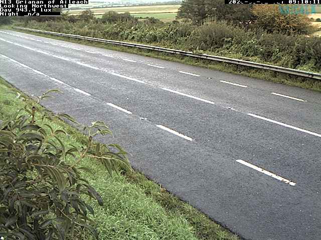
Cámaras web cerca de Slieve Snaght

Historia alrededor de Slieve Snaght
Ciudades cerca de Slieve Snaght
- Derrya 22 km
- Letterkennya 37 km
- Colerainea 43 km
- Omagha 66 km
- Ballymenaa 77 km