爱尔兰的山
Killiney Hill
153 米502 英尺
丘陵 · 爱尔兰
Killiney Hill is the southernmost of the two hills which form the southern boundary of Dublin Bay, the other being Dalkey Hill. These two hills form part of Killiney Hill Park. The park overlooks the villages of Dalkey to the north and Killiney to the west.
来自Wikipedia,CC BY-SA · 阅读文章
山顶 · 0:00 的预报
10 °C阴 · 西南风 26 km/h
 3D 查看
Killiney Hill山顶天气,153 米
- 0:0010 °C西南 26 km/h–
- 3:0012 °C西南 30 km/h–
- 6:0013 °C西南 27 km/h–
- 9:0012 °C西 26 km/h–
- 12:0014 °C西 24 km/h–
- 15:0015 °C西南 19 km/h–
- 18:0013 °C南 12 km/h–
- 21:0012 °C南 10 km/h–
| 日期 | 天气 | 最高 / 最低 | 雨 | 最大风速 |
|---|---|---|---|---|
| 10月28日周三 | 阴 | 15 °C / 10 °C | – | 30 km/h |
| 10月29日周四 | 阴 | 14 °C / 12 °C | – | 33 km/h |
| 10月30日周五 | 阴 | 15 °C / 12 °C | 0.2 mm | 35 km/h |
| 10月31日周六 | 阴 | 13 °C / 11 °C | – | 9 km/h |
| 11月1日周日 | 多云 | 12 °C / 10 °C | 1.3 mm | 11 km/h |
| 11月2日周一 | 阴 | 12 °C / 11 °C | 0.7 mm | 16 km/h |
| 11月3日周二 | 多云 | 12 °C / 10 °C | – | 16 km/h |
预报来自 MET Norway(CC BY 4.0),更新于 GMT 17:17。时间均为当地时间。
基本信息
Killiney Hill附近的山峰
- Carrickgollogan276 米 · 6.2 公里外地图上
- Barnaslingan238 米 · 6.6 公里外地图上
- 布瑞岬241 米 · 8.5 公里外地图上
- Three Rock448 米 · 8.7 公里外地图上
- 两石山 (爱尔兰)536 米 · 9.2 公里外地图上
- Kilmashogue408 米 · 10 公里外地图上
- Little Sugar Loaf342 米 · 11 公里外地图上
- Prince William's Seat555 米 · 11 公里外地图上
- Tibradden Mountain467 米 · 12 公里外地图上
- Shielmartin Hill163 米 · 12 公里外地图上
爱尔兰最高的山
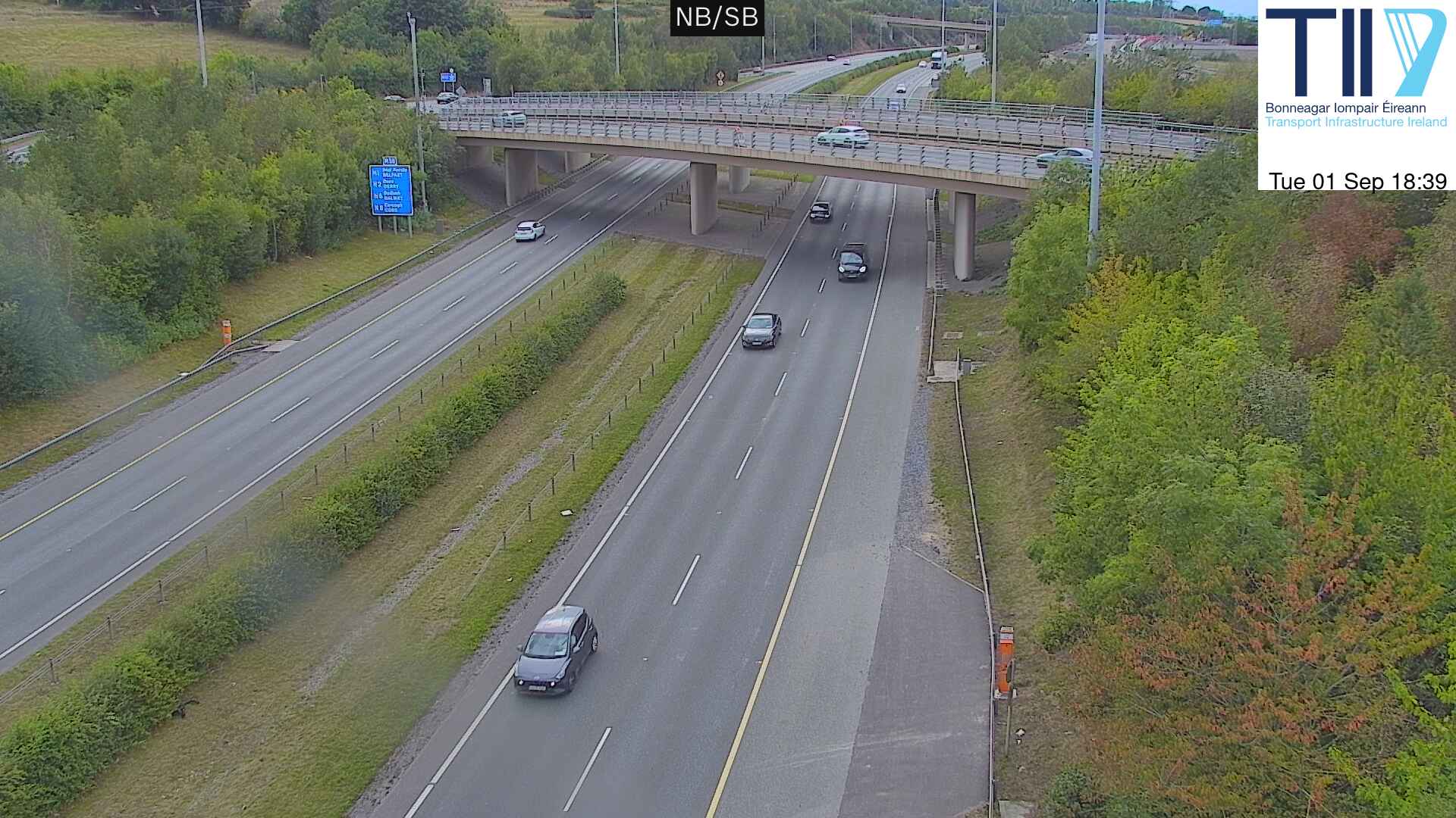
Killiney Hill附近的网络摄像头



Killiney Hill周边的历史
- Battle of Clontarf1014
- Battle of Islandbridge919
- 2023 Dublin riot2023
- March for a Better Way2010
- 2010 student protest in Dublin2010
- 2006 Dublin riots2006
- Katrina and the Waves win the Eurovision Song Contest with the song Love Shine a Light, the first time the UK has won the competition since 19811997
- Lansdowne Road football riot1995