挪威的山
Kolsås
山 · 挪威
Kolsås, sometimes called Kolsaas, is a hill in the municipality of Bærum, Norway. Geologically, Kolsås belongs to the Oslo Graben area. Its two peaks consist of hard rhomb porphyric lava covering softer rocks, forming steep cliffs to the east, south and west.
来自Wikipedia,CC BY-SA · 阅读文章
山顶 · 12:00 的预报
9 °C小雨 · 南风 21 km/h
 3D 查看
Kolsås天气预报
- 12:009 °C南 21 km/h1.2 mm
- 15:009 °C南 23 km/h1.2 mm
- 18:0010 °C南 18 km/h2.2 mm
- 21:0010 °C东南 9 km/h–
- 0:008 °C南 9 km/h–
- 3:006 °C东南 7 km/h–
- 6:003 °C东南 3 km/h–
- 9:003 °C东 4 km/h–
| 日期 | 天气 | 最高 / 最低 | 雨 | 最大风速 |
|---|---|---|---|---|
| 10月28日周三 | 晴 | 8 °C / 2 °C | – | 12 km/h |
| 10月29日周四 | 晴 | 8 °C / 1 °C | – | 9 km/h |
| 10月30日周五 | 多云 | 10 °C / 4 °C | – | 6 km/h |
| 10月31日周六 | 多云 | 7 °C / 3 °C | – | 4 km/h |
| 11月1日周日 | 阴 | 6 °C / 4 °C | – | 7 km/h |
| 11月2日周一 | 多云 | 6 °C / 2 °C | – | 8 km/h |
| 11月3日周二 | 多云 | 9 °C / 3 °C | – | 7 km/h |
预报来自 MET Norway(CC BY 4.0),更新于 GMT+1 10:29。时间均为当地时间。
基本信息
Kolsås附近的山峰
- Kjerkeberget631 米 · 23 公里外地图上
- Varingskollen546 米 · 26 公里外地图上
- Skimtheia554 米 · 26 公里外地图上
- Vardåsen374 米 · 37 公里外地图上
- Vestfjellet634 米 · 50 公里外地图上
- Høgfjell1,009 米 · 56 公里外地图上
- Lifjell556 米 · 60 公里外地图上
- Skaugumsåsen山 · 9 公里外地图上
- Voksenåsen丘陵 · 9.2 公里外地图上
- Tryvannshøyden丘陵 · 10 公里外地图上
挪威最高的山
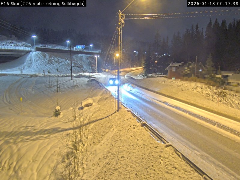
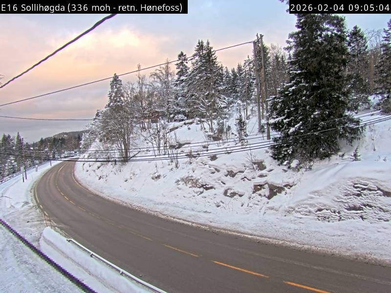
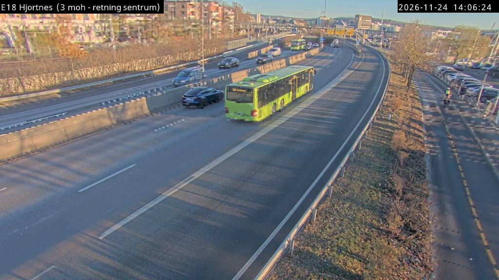
Kolsås附近的网络摄像头

Kolsås周边的历史
- WWII: Operation Weserübung – German ships set out for the invasion of Norway1940
- In Norway, Anders Behring Breivik kills 8 people in a bomb blast which targeted government buildings in central Oslo2011
- The Eurovision Song Contest 2010 takes place in Oslo, Norway, and is won by German entrant Lena with the song "Satellite"2010
- 2022 Oslo shooting2022
- Bærum mosque shooting2019
- Portugal participates in the 1996 Eurovision Song Contest in Oslo with singer Lúcia Moniz performing the song "O Meu Coração Não Tem Cor"1996
- Braathens SAFE Flight 2391972
- Lavangsdalen bus accident2011