Mountains in Norway
Kolsås
Mountain · Norway
Kolsås, sometimes called Kolsaas, is a hill in the municipality of Bærum, Norway. Geologically, Kolsås belongs to the Oslo Graben area. Its two peaks consist of hard rhomb porphyric lava covering softer rocks, forming steep cliffs to the east, south and west.
From Wikipedia, CC BY-SA · Read the article
At the summit · forecast for 8:00 AM
7 °CRain · wind 22 km/h from the S
 See it in 3D
Kolsås weather forecast
- 8:00 AM7 °CS 22 km/h0.9 mm
- 11:00 AM7 °CS 18 km/h0.7 mm
- 2:00 PM8 °CSE 24 km/h1.6 mm
- 5:00 PM10 °CS 24 km/h1.7 mm
- 8:00 PM10 °CSE 9 km/h–
- 11:00 PM9 °CS 10 km/h–
- 2:00 AM6 °CS 8 km/h–
- 5:00 AM3 °CS 4 km/h–
| Day | Sky | High / low | Rain | Wind up to |
|---|---|---|---|---|
| Today | Rain | 10 °C / 7 °C | 4.9 mm | 24 km/h |
| Wed, Oct 28 | Mostly clear | 8 °C / 1 °C | – | 12 km/h |
| Thu, Oct 29 | Mostly clear | 8 °C / 1 °C | – | 6 km/h |
| Fri, Oct 30 | Partly cloudy | 9 °C / 3 °C | – | 6 km/h |
| Sat, Oct 31 | Partly cloudy | 8 °C / 4 °C | – | 4 km/h |
| Sun, Nov 1 | Partly cloudy | 8 °C / 4 °C | – | 10 km/h |
| Mon, Nov 2 | Cloudy | 7 °C / 3 °C | – | 8 km/h |
Forecast by MET Norway (CC BY 4.0), updated 06:30 AM GMT+1. Times are local.
Facts
- What it is
- Mountain
- Country
- Norway
- Coordinates
- 59.933°N 10.517°E
- Source
- Wikidata, CC0
Peaks near Kolsås
- Kjerkeberget631 m · 23 km awayOn the map
- Varingskollen546 m · 26 km awayOn the map
- Skimtheia554 m · 26 km awayOn the map
- Vardåsen374 m · 37 km awayOn the map
- Vestfjellet634 m · 50 km awayOn the map
- Høgfjell1,009 m · 56 km awayOn the map
- Lifjell556 m · 60 km awayOn the map
- SkaugumsåsenMountain · 9 km awayOn the map
- VoksenåsenHill · 9.2 km awayOn the map
- TryvannshøydenHill · 10 km awayOn the map
Highest mountains in Norway
- Galdhøpiggen2,469 mOn the map
- Glittertind2,464 mOn the map
- Store Skagastølstind2,406 mOn the map
- Surtningssue2,368 mOn the map
- Store Memurutinden2,365 mOn the map
- Store Hellstugutinden2,346 mOn the map
- Store Knutsholstinden2,339 mOn the map
- Tjørnholstind2,323 mOn the map
- Bukkehøe2,314 mOn the map
- Dovrefjell2,286 mOn the map
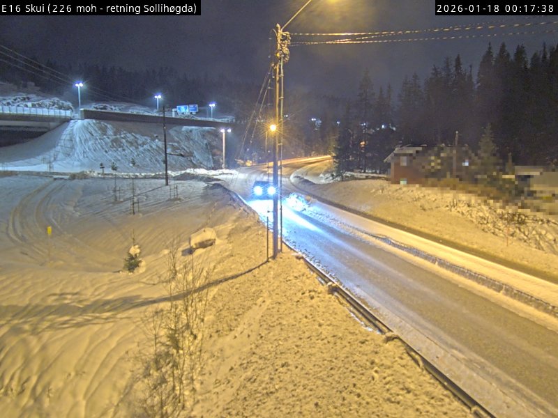
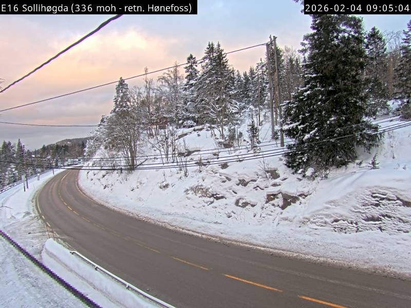
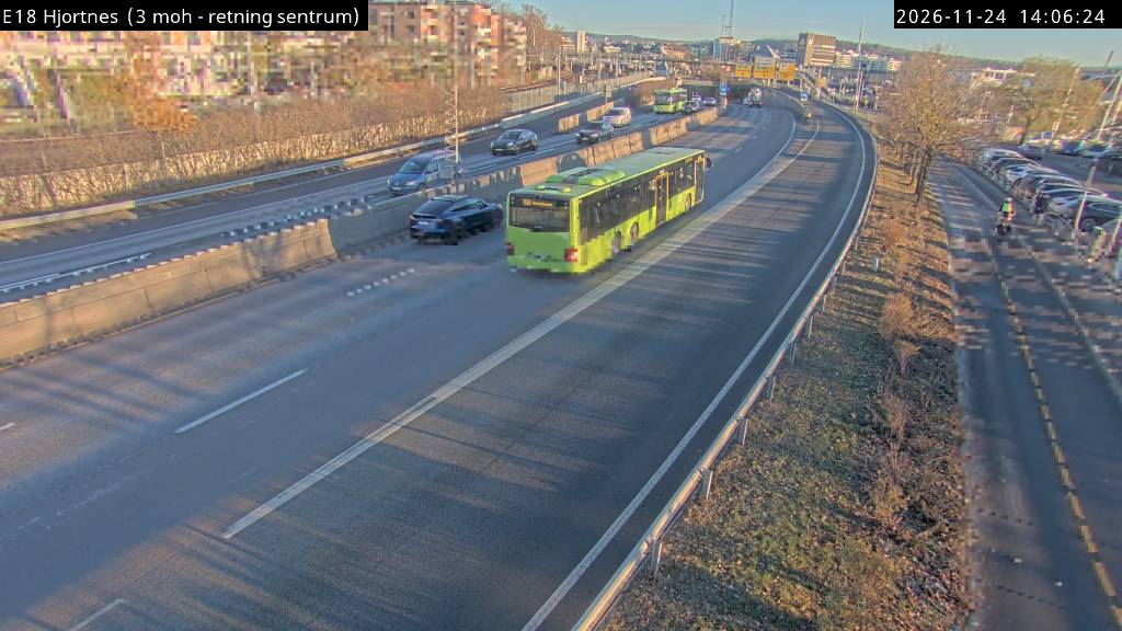
Webcams near Kolsås

History around Kolsås
- WWII: Operation Weserübung – German ships set out for the invasion of Norway1940
- In Norway, Anders Behring Breivik kills 8 people in a bomb blast which targeted government buildings in central Oslo2011
- The Eurovision Song Contest 2010 takes place in Oslo, Norway, and is won by German entrant Lena with the song "Satellite"2010
- 2022 Oslo shooting2022
- Bærum mosque shooting2019
- Portugal participates in the 1996 Eurovision Song Contest in Oslo with singer Lúcia Moniz performing the song "O Meu Coração Não Tem Cor"1996
- Braathens SAFE Flight 2391972
- Lavangsdalen bus accident2011