美国的山
Lane Peak
6,012 英尺1,833 米
山 · Tatoosh Range · 美国
Lane Peak is a 6,012-foot (1,832-metre) mountain summit in Lewis County of Washington state. It is situated on the crest of the Tatoosh Range which is a sub-range of the Cascade Range. It is located south of Mount Rainier within Mount Rainier National Park.
来自Wikipedia,CC BY-SA · 阅读文章
山顶 · 21:00 的预报
29 °F雾 · 西北风 1 英里/小时
 3D 查看
Lane Peak山顶天气,6,012 英尺
- 21:0029 °F西北 1 英里/小时–
- 0:0030 °F西 2 英里/小时–
- 3:0029 °F西 4 英里/小时–
- 6:0029 °F西 3 英里/小时–
- 9:0030 °F西 3 英里/小时0 英寸
- 12:0031 °F西南 5 英里/小时0.03 英寸
- 15:0031 °F西南 8 英里/小时0.04 英寸
- 18:0028 °F西南 8 英里/小时0.06 英寸
| 日期 | 天气 | 最高 / 最低 | 雨 | 最大风速 |
|---|---|---|---|---|
| 10月27日周二 | 小雪 | 32 °F / 25 °F | 0.34 英寸 | 10 英里/小时 |
| 10月28日周三 | 大雪 | 26 °F / 12 °F | 0.95 英寸 | 9 英里/小时 |
| 10月29日周四 | 中雪 | 26 °F / 11 °F | 0.22 英寸 | 4 英里/小时 |
| 10月30日周五 | 多云 | 24 °F / 15 °F | 0.03 英寸 | 2 英里/小时 |
| 10月31日周六 | 中雪 | 25 °F / 20 °F | 0.27 英寸 | 3 英里/小时 |
| 11月1日周日 | 多云 | 26 °F / 15 °F | – | 4 英里/小时 |
| 11月2日周一 | 多云 | 38 °F / 30 °F | – | 3 英里/小时 |
预报来自 MET Norway(CC BY 4.0),更新于 GMT-7 18:17。时间均为当地时间。
基本信息
Lane Peak附近的山峰
- Denman Peak6,006 英尺 · 0.7 公里外地图上
- Pinnacle Peak6,562 英尺 · 1.6 公里外地图上
- Wahpenayo Peak6,221 英尺 · 1.6 公里外地图上
- Chutla Peak6,007 英尺 · 1.8 公里外地图上
- Plummer Peak6,371 英尺 · 1.8 公里外地图上
- The Castle6,440 英尺 · 1.9 公里外地图上
- Eagle Peak5,955 英尺 · 2 公里外地图上
- Foss Peak6,524 英尺 · 3.1 公里外地图上
- West Unicorn Peak6,840 英尺 · 4 公里外地图上
- Unicorn Peak6,972 英尺 · 4.3 公里外地图上
Tatoosh Range最高峰
- Unicorn Peak6,972 英尺地图上
- Lane Peak6,012 英尺地图上
美国最高的山
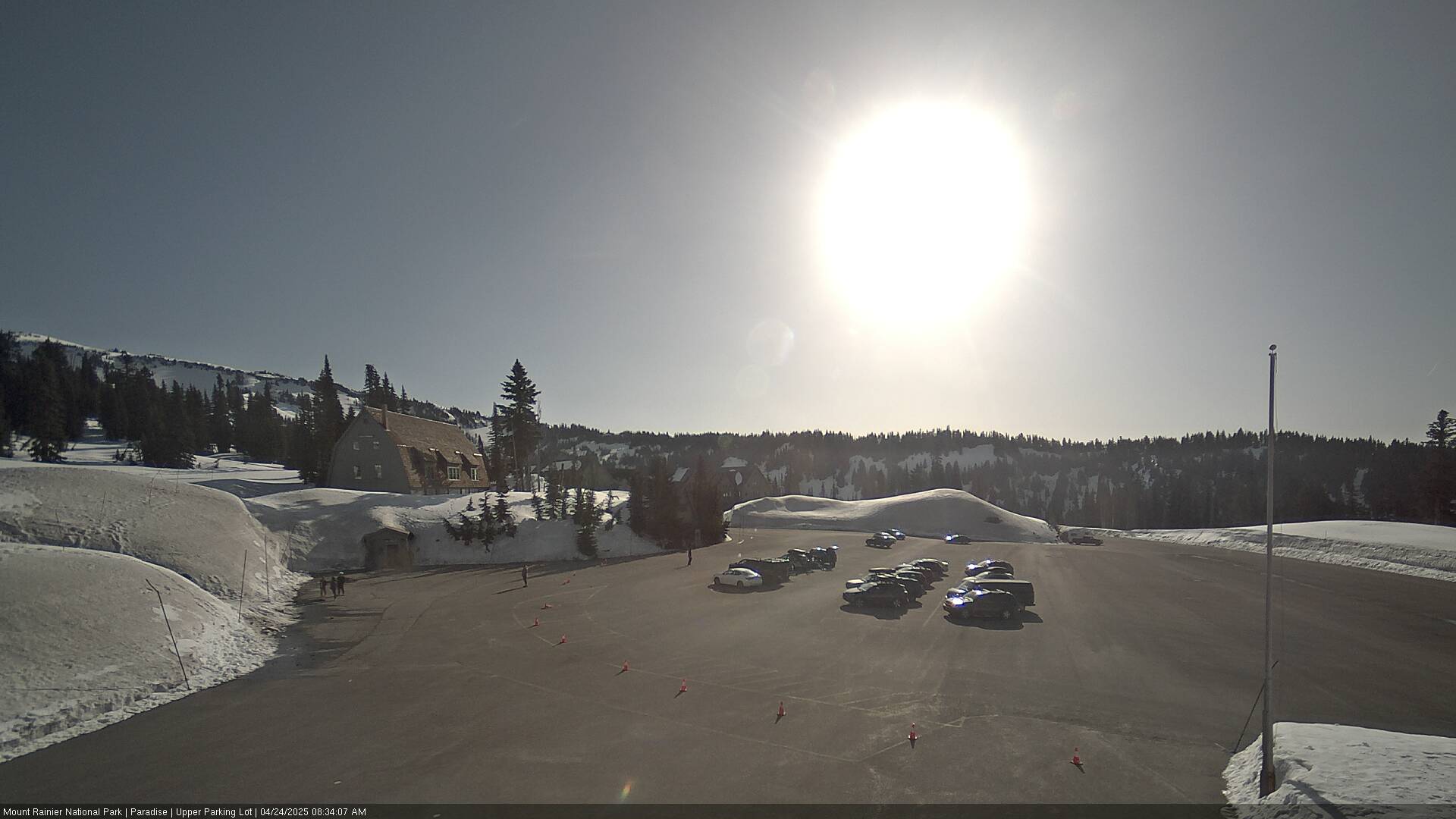
Lane Peak附近的网络摄像头



Lane Peak附近的城镇
- Orting51 公里外
- Enumclaw53 公里外
- Graham53 公里外
- 邦尼湖57 公里外
- South Hill58 公里外
- Frederickson59 公里外