The Castle
6,440 英尺1,963 米
山 · 喀斯喀特山脉 · 美国
The Castle is a summit in Lewis County of Washington state. It is part of the Tatoosh Range which is a sub-range of the Cascade Range. The Castle is located in Mount Rainier National Park, and it is 0.2 mile immediately east of Pinnacle Peak.
来自Wikipedia,CC BY-SA · 阅读文章
山顶 · 22:00 的预报
28 °F雾 · 西北风 2 英里/小时
 3D 查看
The Castle山顶天气,6,440 英尺
- 22:0028 °F西北 2 英里/小时–
- 1:0028 °F西 2 英里/小时–
- 4:0028 °F西 3 英里/小时–
- 7:0028 °F西 3 英里/小时–
- 10:0029 °F西南 4 英里/小时0.02 英寸
- 13:0030 °F西南 7 英里/小时0.03 英寸
- 16:0029 °F西 8 英里/小时0.08 英寸
- 19:0026 °F西 10 英里/小时0.04 英寸
| 日期 | 天气 | 最高 / 最低 | 雨 | 最大风速 |
|---|---|---|---|---|
| 10月27日周二 | 小雪 | 30 °F / 24 °F | 0.34 英寸 | 10 英里/小时 |
| 10月28日周三 | 大雪 | 25 °F / 10 °F | 0.95 英寸 | 9 英里/小时 |
| 10月29日周四 | 中雪 | 24 °F / 10 °F | 0.22 英寸 | 4 英里/小时 |
| 10月30日周五 | 多云 | 22 °F / 13 °F | 0.03 英寸 | 2 英里/小时 |
| 10月31日周六 | 中雪 | 24 °F / 19 °F | 0.27 英寸 | 3 英里/小时 |
| 11月1日周日 | 多云 | 24 °F / 13 °F | – | 4 英里/小时 |
| 11月2日周一 | 多云 | 37 °F / 28 °F | – | 3 英里/小时 |
预报来自 MET Norway(CC BY 4.0),更新于 GMT-7 18:17。时间均为当地时间。
基本信息
The Castle (Washington)
Mountain in Washington (state), United States
The Castle is a summit in Lewis County of Washington state. It is part of the Tatoosh Range which is a sub-range of the Cascade Range. The Castle is located in Mount Rainier National Park, and it is 0.2 mile immediately east of Pinnacle Peak. Precipitation runoff from The Castle drains into tributaries of the Cowlitz River.
来自Wikipedia,CC BY-SA · 阅读文章
The Castle附近的山峰
- Pinnacle Peak6,562 英尺 · 0.3 公里外地图上
- Plummer Peak6,371 英尺 · 1 公里外地图上
- Denman Peak6,006 英尺 · 1.1 公里外地图上
- Foss Peak6,524 英尺 · 1.2 公里外地图上
- Lane Peak6,012 英尺 · 1.9 公里外地图上
- West Unicorn Peak6,840 英尺 · 2.3 公里外地图上
- Unicorn Peak6,972 英尺 · 2.6 公里外地图上
- Wahpenayo Peak6,221 英尺 · 3.2 公里外地图上
- Chutla Peak6,007 英尺 · 3.6 公里外地图上
- Eagle Peak5,955 英尺 · 3.9 公里外地图上
喀斯喀特山脉最高峰
- 雷尼爾山14,400 英尺地图上
- 亞當斯山12,280 英尺地图上
- 麥勞夫林山9,495 英尺地图上
- Mount Thielsen9,183 英尺地图上
- Broken Top9,177 英尺地图上
- Black Peak8,976 英尺地图上
- Dome Peak8,921 英尺地图上
- Silver Star Mountain8,875 英尺地图上
- The Castle6,440 英尺地图上
美国最高的山
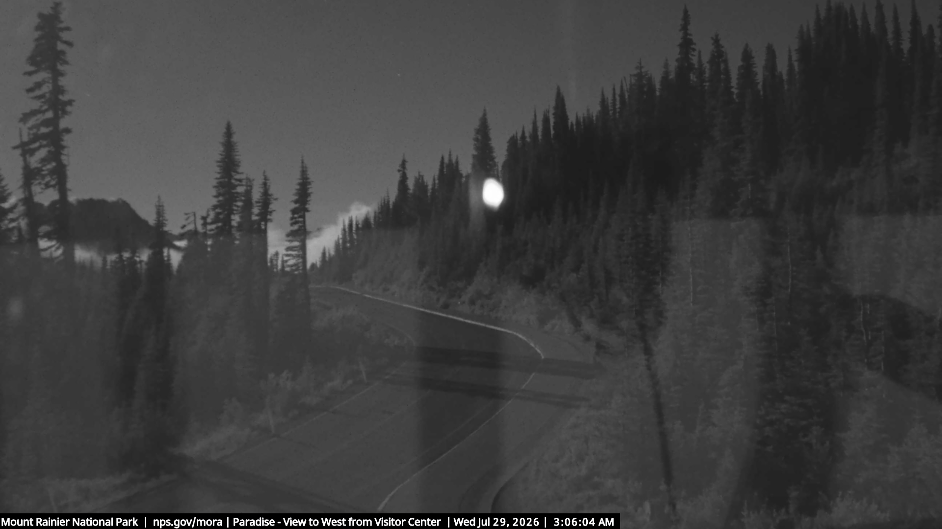
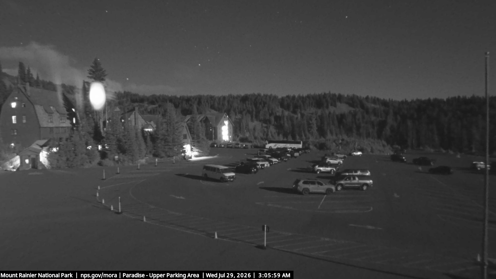
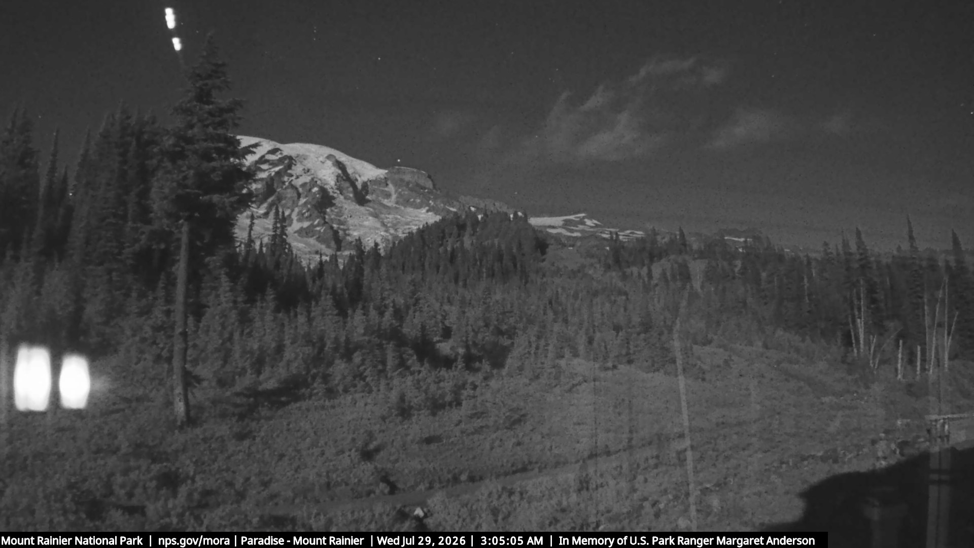
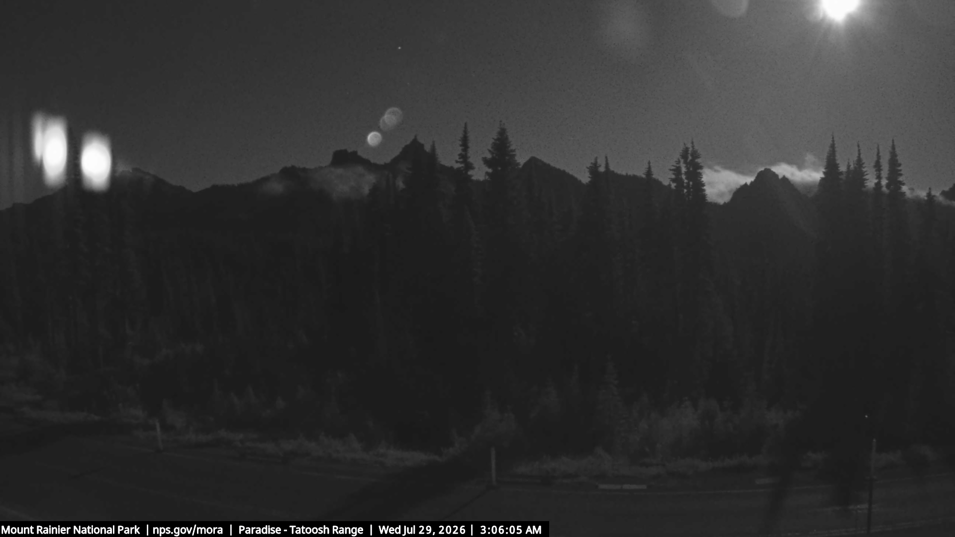
The Castle附近的网络摄像头
The Castle附近的城镇
- Orting53 公里外
- Enumclaw53 公里外
- Graham54 公里外
- 邦尼湖58 公里外
- South Hill59 公里外
- Frederickson61 公里外