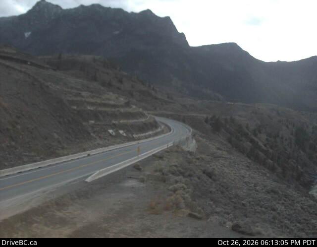
加拿大的山
3D 查看Mount Bishop
1,721 米5,646 英尺
山 · 加拿大
Mount Bishop is a mountain in the Camelsfoot Range in the Lillooet Country of the Central Interior of British Columbia. Named for an old settler, it is located four km north of the settlement of Moha, which is at the confluence of the Bridge and Yalakom Rivers.
来自Wikipedia,CC BY-SA · 阅读文章
山顶 · 23:00 的预报
-6 °C阴 · 西北风 4 km/h
Mount Bishop山顶天气,1,721 米
- 23:00-6 °C西北 4 km/h–
- 2:00-6 °C北 5 km/h1.5 mm
- 5:00-5 °C北 9 km/h1.2 mm
- 8:00-6 °C北 8 km/h1 mm
- 11:00-5 °C东北 6 km/h0.7 mm
- 14:00-4 °C东 5 km/h–
- 17:00-5 °C东 4 km/h–
- 20:00-7 °C北 3 km/h–
| 日期 | 天气 | 最高 / 最低 | 雨 | 最大风速 |
|---|---|---|---|---|
| 10月28日周三 | 小雪 | -3 °C / -9 °C | 4.4 mm | 9 km/h |
| 10月29日周四 | 阴 | -4 °C / -9 °C | – | 5 km/h |
| 10月30日周五 | 阴 | -3 °C / -9 °C | 0.7 mm | 4 km/h |
| 10月31日周六 | 少云 | -2 °C / -10 °C | 0.1 mm | 4 km/h |
| 11月1日周日 | 阴 | -1 °C / -12 °C | 0.4 mm | 5 km/h |
| 11月2日周一 | 阴 | 2 °C / -6 °C | 0.2 mm | 5 km/h |
| 11月3日周二 | 多云 | 2 °C / -6 °C | 0.1 mm | 4 km/h |
预报来自 MET Norway(CC BY 4.0),更新于 GMT-7 22:22。时间均为当地时间。
基本信息
Mount Bishop附近的山峰
- Chimney Rock1,725 米 · 33 公里外地图上
- Pavilion Mountain2,089 米 · 37 公里外地图上
- Mount Brew2,891 米 · 39 公里外地图上
- Red Mountain2,445 米 · 42 公里外地图上
- Mount Gandalf2,391 米 · 47 公里外地图上
- Mount Aragorn2,435 米 · 47 公里外地图上
- Mount Noel2,541 米 · 51 公里外地图上
- Black Dome Mountain2,252 米 · 52 公里外地图上
- Birkenhead Peak2,506 米 · 53 公里外地图上
- Mount Penrose2,634 米 · 54 公里外地图上