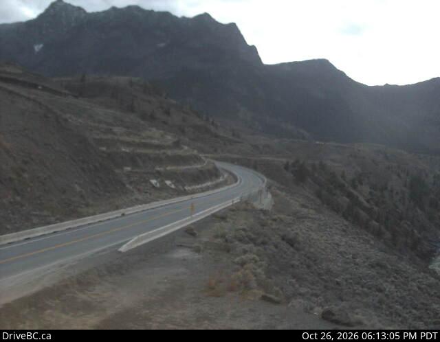
加拿大的山
3D 查看Mount Brew
2,891 米9,485 英尺
山 · 利卢埃特山脉 · 加拿大
Mount Brew is a mountain located 12 km (7 mi) south of Lillooet and 44 km (27 mi) north of Skihist Mountain in south-central British Columbia, Canada.
来自Wikipedia,CC BY-SA · 阅读文章
山顶 · 7:00 的预报
-12 °C大雪 · 东北风 4 km/h
Mount Brew山顶天气,2,891 米
- 7:00-12 °C东北 4 km/h2.5 mm
- 10:00-12 °C东北 5 km/h0.6 mm
- 13:00-11 °C东北 4 km/h0.3 mm
- 16:00-10 °C东北 3 km/h0.1 mm
- 19:00-12 °C西 1 km/h–
- 22:00-12 °C东北 3 km/h–
- 1:00-13 °C东南 3 km/h–
- 4:00-14 °C东南 3 km/h–
| 日期 | 天气 | 最高 / 最低 | 雨 | 最大风速 |
|---|---|---|---|---|
| 今天 | 小雪 | -10 °C / -13 °C | 3.5 mm | 5 km/h |
| 10月29日周四 | 小雪 | -10 °C / -14 °C | 0.3 mm | 6 km/h |
| 10月30日周五 | 阴 | -8 °C / -13 °C | 1.7 mm | 6 km/h |
| 10月31日周六 | 少云 | -9 °C / -17 °C | – | 4 km/h |
| 11月1日周日 | 晴 | -8 °C / -16 °C | – | 4 km/h |
| 11月2日周一 | 多云 | -3 °C / -12 °C | – | 6 km/h |
| 11月3日周二 | 多云 | -5 °C / -11 °C | – | 4 km/h |
预报来自 MET Norway(CC BY 4.0),更新于 GMT-7 06:17。时间均为当地时间。
基本信息
Mount Brew (Lillooet Ranges)
Mountain in British Columbia, Canada
Mount Brew is a mountain located 12 km (7 mi) south of Lillooet and 44 km (27 mi) north of Skihist Mountain in south-central British Columbia, Canada. It lies on the western side of the Fraser River and is the third-highest mountain of the Lillooet Ranges, after Skihist Mountain and Petlushkwohap Mountain in the Cantilever Range to the west of Lytton.
来自Wikipedia,CC BY-SA · 阅读文章
Mount Brew附近的山峰
- Stein Mountain2,761 米 · 31 公里外地图上
- Botanie Mountain2,077 米 · 36 公里外地图上
- Chimney Rock1,725 米 · 37 公里外地图上
- Mount Bishop1,721 米 · 39 公里外地图上
- Mount Marriott2,724 米 · 41 公里外地图上
- Petlushkwohap Mountain2,939 米 · 41 公里外地图上
- Vantage Peak2,235 米 · 41 公里外地图上
- Akasik Mountain2,161 米 · 41 公里外地图上
- Arthur Seat1,672 米 · 43 公里外地图上
- Mount Howard2,551 米 · 44 公里外地图上