爱尔兰的山
3D 查看Mount Hillary
391 米1,283 英尺
山 · Boggeragh Mountains · 爱尔兰
Mount Hillary is a mountain located in north County Cork. It is 391m high.
来自Wikipedia,CC BY-SA · 阅读文章
山顶 · 1:00 的预报
7 °C少云 · 西南风 31 km/h
Mount Hillary山顶天气,391 米
- 1:007 °C西南 31 km/h0.1 mm
- 4:006 °C西南 29 km/h0.3 mm
- 7:006 °C西 34 km/h0.2 mm
- 10:008 °C西 26 km/h0.2 mm
- 13:009 °C西 27 km/h0.1 mm
- 16:009 °C西 26 km/h–
- 19:007 °C西南 20 km/h–
- 22:008 °C西南 22 km/h0.2 mm
| 日期 | 天气 | 最高 / 最低 | 雨 | 最大风速 |
|---|---|---|---|---|
| 今天 | 小雨 | 9 °C / 6 °C | 1 mm | 34 km/h |
| 10月28日周三 | 阴 | 13 °C / 9 °C | 0.1 mm | 29 km/h |
| 10月29日周四 | 阴 | 11 °C / 10 °C | 4.2 mm | 35 km/h |
| 10月30日周五 | 阴 | 12 °C / 10 °C | 6.4 mm | 32 km/h |
| 10月31日周六 | 中雨 | 12 °C / 8 °C | 12.2 mm | 19 km/h |
| 11月1日周日 | 阴 | 7 °C / 3 °C | – | 9 km/h |
| 11月2日周一 | 阴 | 10 °C / 2 °C | – | 21 km/h |
预报来自 MET Norway(CC BY 4.0),更新于 GMT 23:19。时间均为当地时间。
基本信息
Mount Hillary附近的山峰
- Musheramore644 米 · 15 公里外地图上
- Mullaghanish694 米 · 25 公里外地图上
- Carron Mountain440 米 · 28 公里外地图上
- Seefin528 米 · 30 公里外地图上
- Paps of Anu670 米 · 32 公里外地图上
- Spur Hill137 米 · 36 公里外地图上
- Mangerton山838 米 · 47 公里外地图上
- Temple Hill785 米 · 48 公里外地图上
- Torc山535 米 · 48 公里外地图上
- Lyracappul825 米 · 49 公里外地图上
Boggeragh Mountains最高峰
- Musheramore644 米地图上
- Mount Hillary391 米地图上
爱尔兰最高的山
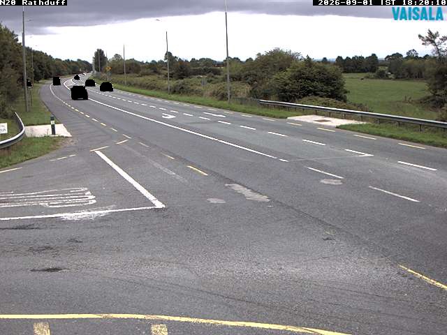
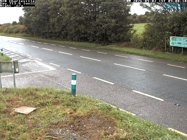
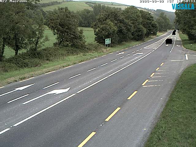
Mount Hillary附近的网络摄像头
Mount Hillary周边的历史
- Niamh Kavanagh wins the Eurovision Song Contest for Ireland with In Your Eyes1993
- Battle of Knocknaclashy1651
- Battle of Liscarroll1642
- Buttevant Rail Disaster1980
- Rathcoole ambush1921
- Irish War of Independence: Clonbanin ambush: A force of about 100 Irish Republican Army members attacks a British Army convoy of 40 soldiers, killing several1921
- Battle of the Big Cross1798
- Battle of Belach Lechta978