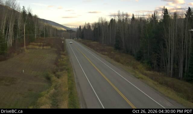
加拿大的山
3D 查看Mount Pauline
2,650 米8,694 英尺
山 · 加拿大
Mount Pauline is located on the south side of Beaverdam Pass on the Alberta-British Columbia border. It is the 26th most prominent in Alberta. It was named in 1925 after F.A. Pauline.
来自Wikipedia,CC BY-SA · 阅读文章
山顶 · 19:00 的预报
-8 °C小雪 · 西北风 2 km/h
Mount Pauline山顶天气,2,650 米
- 19:00-8 °C西北 2 km/h1.8 mm
- 22:00-8 °C北 3 km/h4.6 mm
- 1:00-9 °C北 5 km/h3.3 mm
- 4:00-10 °C北 6 km/h0.6 mm
- 7:00-12 °C西北 6 km/h–
- 10:00-13 °C北 7 km/h–
- 13:00-12 °C北 9 km/h–
- 16:00-12 °C北 8 km/h0.3 mm
| 日期 | 天气 | 最高 / 最低 | 雨 | 最大风速 |
|---|---|---|---|---|
| 10月28日周三 | 阴 | -9 °C / -15 °C | 6 mm | 9 km/h |
| 10月29日周四 | 多云 | -9 °C / -21 °C | – | 5 km/h |
| 10月30日周五 | 晴 | -10 °C / -22 °C | – | 5 km/h |
| 10月31日周六 | 少云 | -9 °C / -16 °C | – | 5 km/h |
| 11月1日周日 | 多云 | -8 °C / -16 °C | – | 6 km/h |
| 11月2日周一 | 多云 | -5 °C / -14 °C | 2.4 mm | 6 km/h |
| 11月3日周二 | 多云 | -5 °C / -17 °C | 0.5 mm | 6 km/h |
预报来自 MET Norway(CC BY 4.0),更新于 GMT-7 12:17。时间均为当地时间。
基本信息
Mount Pauline
Mountain in Alberta and British Columbia, Canada
Mount Pauline is located on the south side of Beaverdam Pass on the Alberta-British Columbia border. It is the 26th most prominent in Alberta. It was named in 1925 after F.A. Pauline. The three slopes are covered in mostly metamorphic shale or slate, due to this it is unknown how difficult it would be to climb to the peak.
来自Wikipedia,CC BY-SA · 阅读文章
Mount Pauline附近的山峰
- Mount John Oliver3,123 米 · 22 公里外地图上
- Mount Richard Bennett3,190 米 · 24 公里外地图上
- Mount Pierrway2,854 米 · 24 公里外地图上
- Mount Sir Mackenzie Bowell3,301 米 · 25 公里外地图上
- Mount Sir John Abbott3,398 米 · 26 公里外地图上
- Mount Sir Wilfrid Laurier3,516 米 · 28 公里外地图上
- Mount Stanley Baldwin3,256 米 · 30 公里外地图上
- Mount Mackenzie King3,234 米 · 30 公里外地图上
- Mount Louis Saint Laurent3,045 米 · 31 公里外地图上
- Mount Goodall2,930 米 · 32 公里外地图上