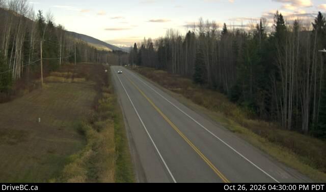
Mount Pauline
2,650 m8,694 ft
Mountain · Canada
Mount Pauline is located on the south side of Beaverdam Pass on the Alberta-British Columbia border. It is the 26th most prominent in Alberta. It was named in 1925 after F.A. Pauline.
From Wikipedia, CC BY-SA · Read the article
At the summit · forecast for 9:00 PM
-10 °CMostly clear · wind 5 km/h from the SW
Weather at the summit of Mount Pauline, 2,650 m
- 9:00 PM-10 °CSW 5 km/h–
- 12:00 AM-12 °CSW 5 km/h–
- 3:00 AM-12 °CSW 5 km/h–
- 6:00 AM-12 °CSW 5 km/h–
- 9:00 AM-11 °CSW 5 km/h–
- 12:00 PM-5 °CS 6 km/h–
- 3:00 PM-4 °CSE 5 km/h0.4 mm
- 6:00 PM-8 °CNE 1 km/h1 mm
| Day | Sky | High / low | Rain | Wind up to |
|---|---|---|---|---|
| Tue, Oct 27 | Partly cloudy | -4 °C / -13 °C | 4.7 mm | 6 km/h |
| Wed, Oct 28 | Cloudy | -9 °C / -14 °C | 4.4 mm | 8 km/h |
| Thu, Oct 29 | Partly cloudy | -12 °C / -22 °C | 0.2 mm | 5 km/h |
| Fri, Oct 30 | Clear | -11 °C / -19 °C | 0.2 mm | 3 km/h |
| Sat, Oct 31 | Mostly clear | -9 °C / -17 °C | – | 4 km/h |
| Sun, Nov 1 | Cloudy | -9 °C / -18 °C | 0.1 mm | 6 km/h |
| Mon, Nov 2 | Clear | -4 °C / -12 °C | – | 6 km/h |
Forecast by MET Norway (CC BY 4.0), updated 06:17 PM PDT. Times are local.
Facts
- What it is
- Mountain
- Height above sea level
- 2,650 m (8,694 ft)
- Prominence
- 1,120 m (3,675 ft)
- Country
- Canada
- Coordinates
- 53.035°N 119.893°W
- Source
- Wikidata, CC0
Mount Pauline
Mountain in Alberta and British Columbia, Canada
Mount Pauline is located on the south side of Beaverdam Pass on the Alberta-British Columbia border. It is the 26th most prominent in Alberta. It was named in 1925 after F.A. Pauline. The three slopes are covered in mostly metamorphic shale or slate, due to this it is unknown how difficult it would be to climb to the peak.
From Wikipedia, CC BY-SA · Read the article
Peaks near Mount Pauline
- Mount John Oliver3,123 m · 22 km awayOn the map
- Mount Richard Bennett3,190 m · 24 km awayOn the map
- Mount Pierrway2,854 m · 24 km awayOn the map
- Mount Sir Mackenzie Bowell3,301 m · 25 km awayOn the map
- Mount Sir John Abbott3,398 m · 26 km awayOn the map
- Mount Sir Wilfrid Laurier3,516 m · 28 km awayOn the map
- Mount Stanley Baldwin3,256 m · 30 km awayOn the map
- Mount Mackenzie King3,234 m · 30 km awayOn the map
- Mount Louis Saint Laurent3,045 m · 31 km awayOn the map
- Mount Goodall2,930 m · 32 km awayOn the map
Highest mountains in Canada
- Mount Logan5,959 mOn the map
- Mount Saint Elias18,009 ftOn the map
- Mount Lucania5,240 mOn the map
- King Peak5,173 mOn the map
- Mount Steele5,073 mOn the map
- Mount Wood4,850 mOn the map
- Mount Vancouver15,787 ftOn the map
- Mount Slaggard4,742 mOn the map
- Mount Macaulay4,700 mOn the map
- Mount Fairweather15,325 ftOn the map