Mount Rose
山 · 美国
Mount Rose is a narrow section of the Rocky Hill Ridge in Hopewell Township, New Jersey, which is 420 feet above sea level. The ridge's western end is at The Sourlands at Hopewell-Pennington Road and its eastern end is near Province Line Road.
来自Wikipedia,CC BY-SA · 阅读文章
山顶 · 21:00 的预报
51 °F少云 · 东南风 4 英里/小时
Mount Rose天气预报
- 21:0051 °F东南 4 英里/小时–
- 0:0049 °F南 4 英里/小时–
- 3:0047 °F西南 4 英里/小时–
- 6:0046 °F西南 4 英里/小时–
- 9:0053 °F西南 4 英里/小时–
- 12:0064 °F西南 8 英里/小时–
- 15:0069 °F西南 9 英里/小时–
- 18:0062 °F南 8 英里/小时–
| 日期 | 天气 | 最高 / 最低 | 雨 | 最大风速 |
|---|---|---|---|---|
| 10月29日周四 | 多云 | 69 °F / 46 °F | – | 10 英里/小时 |
| 10月30日周五 | 少云 | 70 °F / 49 °F | – | 12 英里/小时 |
| 10月31日周六 | 多云 | 59 °F / 44 °F | – | 7 英里/小时 |
| 11月1日周日 | 晴 | 64 °F / 45 °F | – | 8 英里/小时 |
| 11月2日周一 | 晴 | 68 °F / 46 °F | – | 6 英里/小时 |
| 11月3日周二 | 阴 | 71 °F / 48 °F | – | 8 英里/小时 |
| 11月4日周三 | 晴 | 71 °F / 55 °F | – | 11 英里/小时 |
预报来自 MET Norway(CC BY 4.0),更新于 GMT-4 15:20。时间均为当地时间。
基本信息
Mount Rose (New Jersey)
Mount Rose is a narrow section of the Rocky Hill Ridge in Hopewell Township, New Jersey, which is 420 feet above sea level. The ridge's western end is at The Sourlands at Hopewell-Pennington Road and its eastern end is near Province Line Road. The ridge is a diabase intrusion and unlike many of the ridges in the state, it runs from northwest to southeast. Crusher Road travels along the ridge.
来自Wikipedia,CC BY-SA · 阅读文章
Mount Rose附近的山峰
- Sourland Mountain568 英尺 · 14 公里外地图上
- Buckingham Mountain520 英尺 · 25 公里外地图上
- Cushetunk Mountain834 英尺 · 27 公里外地图上
- Pohatcong Mountain866 英尺 · 47 公里外地图上
- Hominy Hills307 英尺 · 50 公里外地图上
- Pektor Hill614 英尺 · 51 公里外地图上
- Hexenkopf Hill646 英尺 · 51 公里外地图上
- Scotts Mountain1,086 英尺 · 51 公里外地图上
- Christines Hill748 英尺 · 51 公里外地图上
- Kohlberg971 英尺 · 52 公里外地图上
美国最高的山
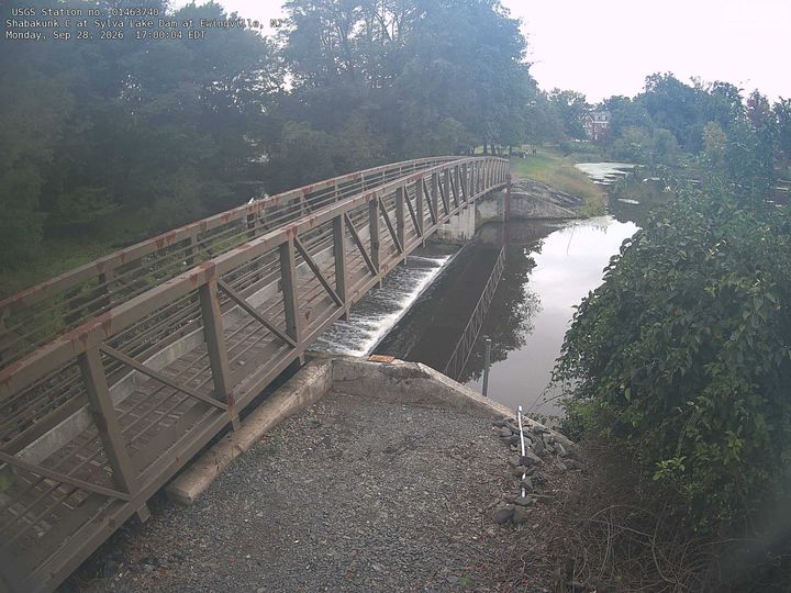
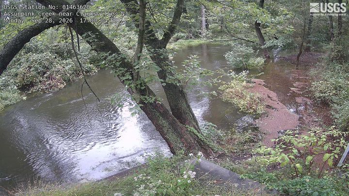
Mount Rose附近的网络摄像头

Mount Rose周边的历史
Mount Rose附近的城镇
- 普林斯顿7.6 公里外
- 尤英11 公里外
- Yardley15 公里外
- Mercerville-Hamilton Square16 公里外
- 特伦顿16 公里外
- Lambertville17 公里外