Mount White-Fraser
山 · 边界山脉 · 加拿大
Mount White-Fraser is a 2,331 metres (7,648 ft) glaciated mountain located in the Boundary Ranges of British Columbia, Canada. It is situated 31 kilometres (19 mi) north-northwest of Stewart, and 10 km (6 mi) northwest of Mount Bayard.
来自Wikipedia,CC BY-SA · 阅读文章
山顶 · 6:00 的预报
-14 °C阴 · 西北风 6 km/h
 3D 查看
Mount White-Fraser天气预报
- 6:00-14 °C西北 6 km/h–
- 9:00-13 °C西北 7 km/h–
- 12:00-11 °C北 6 km/h–
- 15:00-10 °C北 9 km/h–
- 18:00-11 °C北 10 km/h–
- 21:00-12 °C东北 12 km/h–
- 0:00-13 °C东北 10 km/h–
- 3:00-14 °C东北 11 km/h–
| 日期 | 天气 | 最高 / 最低 | 雨 | 最大风速 |
|---|---|---|---|---|
| 今天 | 多云 | -10 °C / -14 °C | – | 12 km/h |
| 10月28日周三 | 多云 | -12 °C / -16 °C | – | 11 km/h |
| 10月29日周四 | 晴 | -14 °C / -18 °C | – | 8 km/h |
| 10月30日周五 | 晴 | -10 °C / -14 °C | – | 4 km/h |
| 10月31日周六 | 晴 | -14 °C / -16 °C | – | 4 km/h |
| 11月1日周日 | 大雪 | -7 °C / -16 °C | 17.1 mm | 2 km/h |
| 11月2日周一 | 大雪 | -5 °C / -7 °C | 73.6 mm | 6 km/h |
预报来自 MET Norway(CC BY 4.0),更新于 GMT-7 22:20。时间均为当地时间。
基本信息
Mount White-Fraser
Mountain in British Columbia, Canada
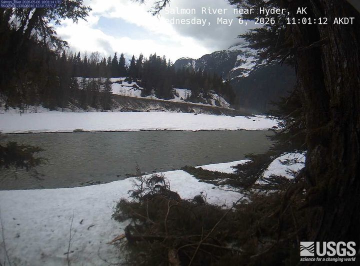
Mount White-Fraser is a 2,331 metres (7,648 ft) glaciated mountain located in the Boundary Ranges of British Columbia, Canada. It is situated 31 kilometres (19 mi) north-northwest of Stewart, and 10 km (6 mi) northwest of Mount Bayard. Precipitation runoff from the peak and meltwater from the surrounding Salmon Glacier drains into the Salmon River.
来自Wikipedia,CC BY-SA · 阅读文章
Mount White-Fraser附近的山峰
- Cornice Mountain2,334 米 · 39 公里外地图上
- Seconed Canyon Cone300 米 · 40 公里外地图上
- 熔岩溪火山1,656 米 · 48 公里外地图上
- Iskut-Unuk River Cones1,880 米 · 49 公里外地图上
- Cinder Mountain300 米 · 50 公里外地图上
- Mount Bayard山 · 9.4 公里外地图上
- Mount John Jay山 · 14 公里外地图上
- Mount Rainey山 · 35 公里外地图上
- Otter Mountain山 · 38 公里外地图上
- Mount Hayford6,119 英尺 · 48 公里外地图上
边界山脉最高峰
- Mount Ratz3,090 米地图上
- Kates Needle10,016 英尺地图上
- Mount Burkett9,793 英尺地图上
- Chutine Peak2,910 米地图上
- Devils Thumb9,077 英尺地图上
- Devils Paw8,584 英尺地图上
- Whiting Peak2,524 米地图上
- Mount London7,631 英尺地图上