Mount White-Fraser
Mountain · Boundary Ranges · Canada
Mount White-Fraser is a 2,331 metres (7,648 ft) glaciated mountain located in the Boundary Ranges of British Columbia, Canada. It is situated 31 kilometres (19 mi) north-northwest of Stewart, and 10 km (6 mi) northwest of Mount Bayard.
From Wikipedia, CC BY-SA · Read the article
At the summit · forecast for 10:00 PM
-15 °CClear · wind 5 km/h from the W
 See it in 3D
Mount White-Fraser weather forecast
- 10:00 PM-15 °CW 5 km/h–
- 1:00 AM-13 °CNW 4 km/h0.8 mm
- 4:00 AM-12 °CNW 4 km/h–
- 7:00 AM-13 °CNW 7 km/h–
- 10:00 AM-13 °CNW 7 km/h–
- 1:00 PM-10 °CN 8 km/h–
- 4:00 PM-10 °CN 9 km/h–
- 7:00 PM-11 °CNE 11 km/h–
| Day | Sky | High / low | Rain | Wind up to |
|---|---|---|---|---|
| Tue, Oct 27 | Partly cloudy | -10 °C / -15 °C | 0.8 mm | 12 km/h |
| Wed, Oct 28 | Partly cloudy | -12 °C / -16 °C | – | 11 km/h |
| Thu, Oct 29 | Clear | -14 °C / -18 °C | – | 8 km/h |
| Fri, Oct 30 | Clear | -10 °C / -14 °C | – | 4 km/h |
| Sat, Oct 31 | Clear | -14 °C / -16 °C | – | 4 km/h |
| Sun, Nov 1 | Heavy snow | -7 °C / -16 °C | 17.1 mm | 2 km/h |
| Mon, Nov 2 | Heavy snow | -5 °C / -7 °C | 73.6 mm | 6 km/h |
Forecast by MET Norway (CC BY 4.0), updated 06:17 PM PDT. Times are local.
Facts
- What it is
- Mountain
- Range
- Boundary Ranges
- Country
- Canada
- Coordinates
- 56.184°N 130.209°W
- Source
- Wikidata, CC0
Mount White-Fraser
Mountain in British Columbia, Canada
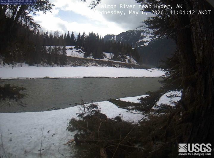
Mount White-Fraser is a 2,331 metres (7,648 ft) glaciated mountain located in the Boundary Ranges of British Columbia, Canada. It is situated 31 kilometres (19 mi) north-northwest of Stewart, and 10 km (6 mi) northwest of Mount Bayard. Precipitation runoff from the peak and meltwater from the surrounding Salmon Glacier drains into the Salmon River.
From Wikipedia, CC BY-SA · Read the article
Peaks near Mount White-Fraser
- Cornice Mountain2,334 m · 39 km awayOn the map
- Seconed Canyon Cone300 m · 40 km awayOn the map
- The Volcano1,656 m · 48 km awayOn the map
- Iskut-Unuk River Cones1,880 m · 49 km awayOn the map
- Cinder Mountain300 m · 50 km awayOn the map
- Mount BayardMountain · 9.4 km awayOn the map
- Mount John JayMountain · 14 km awayOn the map
- Mount RaineyMountain · 35 km awayOn the map
- Otter MountainMountain · 38 km awayOn the map
- Mount Hayford6,119 ft · 48 km awayOn the map
Highest in the Boundary Ranges
- Mount Ratz3,090 mOn the map
- Kates Needle10,016 ftOn the map
- Mount Burkett9,793 ftOn the map
- Chutine Peak2,910 mOn the map
- Devils Thumb9,077 ftOn the map
- Devils Paw8,584 ftOn the map
- Whiting Peak2,524 mOn the map
- Mount London7,631 ftOn the map
Highest mountains in Canada
- Mount Logan5,959 mOn the map
- Mount Saint Elias18,009 ftOn the map
- Mount Lucania5,240 mOn the map
- King Peak5,173 mOn the map
- Mount Steele5,073 mOn the map
- Mount Wood4,850 mOn the map
- Mount Vancouver15,787 ftOn the map
- Mount Slaggard4,742 mOn the map
- Mount Macaulay4,700 mOn the map
- Mount Fairweather15,325 ftOn the map