米格尔山
115 米376 英尺
山 · 德国
The Müggelberge are a wooded line of hills with heights up to 114.7 m above sea level (NHN) in the southeast of Berlin's Treptow-Köpenick quarter. They are dominated by the Kleiner Müggelberg (88.3 m) and Großer Müggelberg (114.7 m). The Müggelberge cover an area of around seven square kilometres.
来自Wikipedia,CC BY-SA · 阅读文章
山顶 · 14:00 的预报
11 °C阴 · 西北风 9 km/h
 3D 查看
米格尔山山顶天气,115 米
- 14:0011 °C西北 9 km/h–
- 17:0010 °C西 9 km/h–
- 20:008 °C西北 9 km/h–
- 23:007 °C西北 8 km/h–
- 2:006 °C西 8 km/h–
- 5:005 °C西 6 km/h–
- 8:005 °C西南 8 km/h–
- 11:0010 °C西南 7 km/h–
| 日期 | 天气 | 最高 / 最低 | 雨 | 最大风速 |
|---|---|---|---|---|
| 10月29日周四 | 多云 | 13 °C / 4 °C | – | 11 km/h |
| 10月30日周五 | 阴 | 11 °C / 7 °C | – | 10 km/h |
| 10月31日周六 | 阴 | 12 °C / 8 °C | 0.2 mm | 11 km/h |
| 11月1日周日 | 阴 | 10 °C / 7 °C | 0.2 mm | 10 km/h |
| 11月2日周一 | 小雨 | 9 °C / 8 °C | 1.9 mm | 16 km/h |
| 11月3日周二 | 少云 | 9 °C / 3 °C | – | 9 km/h |
| 11月4日周三 | 多云 | 11 °C / 6 °C | – | 11 km/h |
预报来自 MET Norway(CC BY 4.0),更新于 GMT+1 02:17。时间均为当地时间。
基本信息
Müggelberge
Hills in southeastern Berlin
The Müggelberge are a wooded line of hills with heights up to 114.7 m above sea level (NHN) in the southeast of Berlin's Treptow-Köpenick quarter. They are dominated by the Kleiner Müggelberg (88.3 m) and Großer Müggelberg (114.7 m). The Müggelberge cover an area of around seven square kilometres. The ridge was formed during the ice age.
来自Wikipedia,CC BY-SA · 阅读文章
米格尔山附近的山峰
- Rixdorfer Höhe68 米 · 17 公里外地图上
- Volkspark Prenzlauer Berg91 米 · 18 公里外地图上
- Kreuzberg66 米 · 19 公里外地图上
- Humboldthöhe85 米 · 22 公里外地图上
- Drachenberg99 米 · 28 公里外地图上
- Teufelsberg120 米 · 28 公里外地图上
- Arkenberge121 米 · 29 公里外地图上
- Dubrower Berge150 米 · 35 公里外地图上
- Telegrafenberg94 米 · 39 公里外地图上
- 普芬斯特山76 米 · 39 公里外地图上
德国最高的山
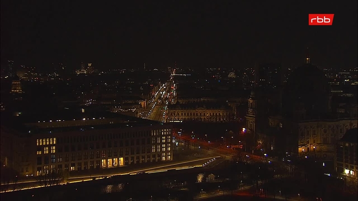
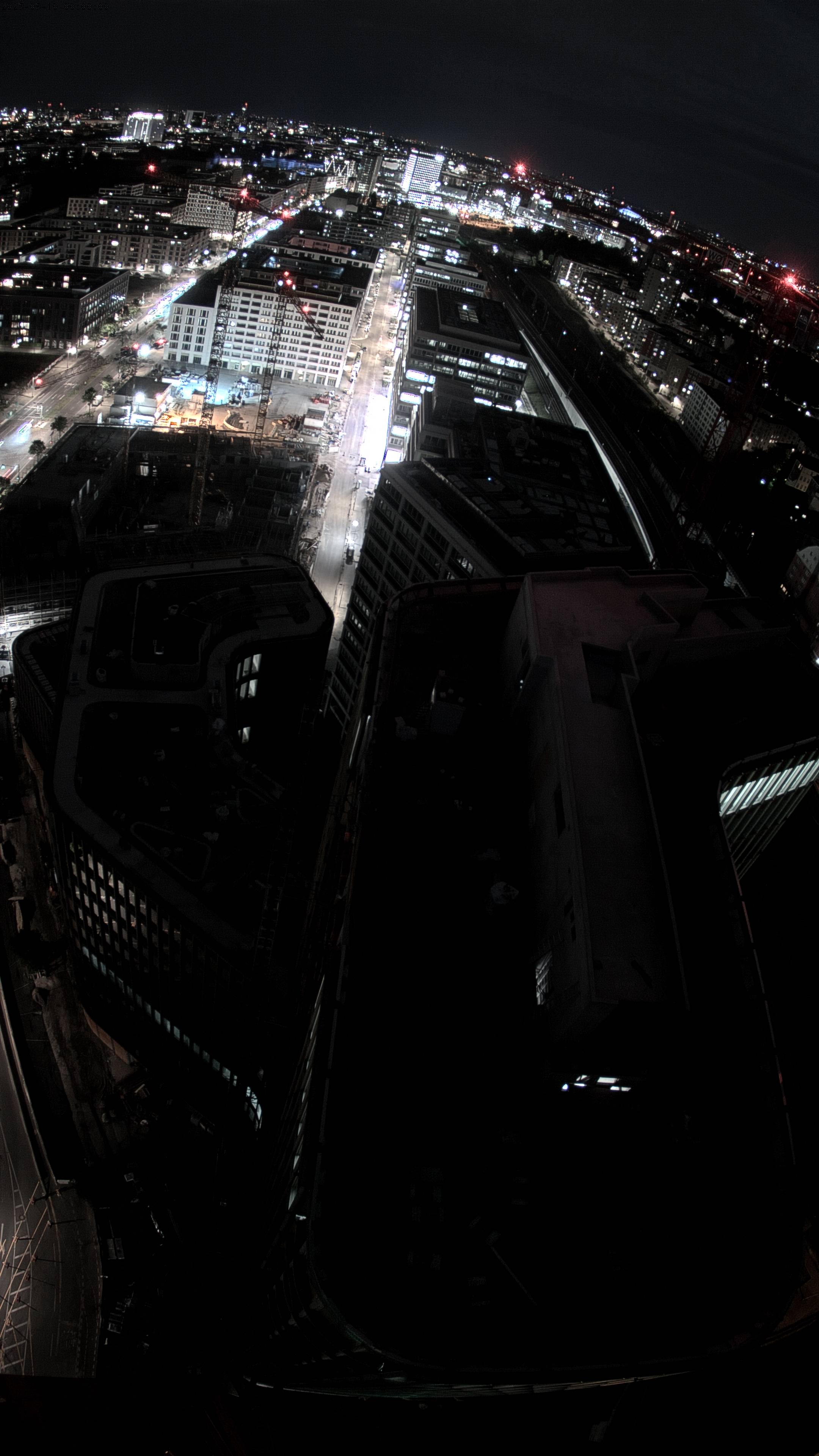
米格尔山附近的网络摄像头


米格尔山周边的历史
米格尔山附近的城镇
- Königs Wusterhausen13 公里外
- Neuenhagen13 公里外
- Blankenfelde-Mahlow17 公里外
- 柏林19 公里外
- Strausberg25 公里外
- Teltow25 公里外