Müggelberge
115 m376 pés
Montanha · Alemanha
The Müggelberge are a wooded line of hills with heights up to 114.7 m above sea level (NHN) in the southeast of Berlin's Treptow-Köpenick quarter. They are dominated by the Kleiner Müggelberg (88.3 m) and Großer Müggelberg (114.7 m). The Müggelberge cover an area of around seven square kilometres.
Da Wikipedia, CC BY-SA · Ler o artigo
No cume · previsão para 4:00
8 °CNublado · vento de 12 km/h de S
 Ver em 3D
Clima no cume de Müggelberge, 115 m
- 4:008 °CS 12 km/h–
- 7:008 °CS 12 km/h–
- 10:0011 °CS 10 km/h–
- 13:0015 °CS 12 km/h–
- 16:0014 °CSE 13 km/h–
- 19:0011 °CS 14 km/h–
- 22:009 °CS 12 km/h–
- 1:008 °CS 10 km/h–
| Dia | Céu | Máx. / mín. | Chuva | Vento até |
|---|---|---|---|---|
| Hoje | Céu limpo | 15 °C / 8 °C | – | 14 km/h |
| qua., 28 de out. | Nublado | 13 °C / 6 °C | 1,6 mm | 13 km/h |
| qui., 29 de out. | Parcialmente nublado | 13 °C / 5 °C | – | 11 km/h |
| sex., 30 de out. | Nublado | 12 °C / 9 °C | 0,1 mm | 5 km/h |
| sáb., 31 de out. | Nublado | 13 °C / 7 °C | – | 7 km/h |
| dom., 1 de nov. | Poucas nuvens | 11 °C / 5 °C | 0,1 mm | 12 km/h |
| seg., 2 de nov. | Nublado | 10 °C / 6 °C | 0,1 mm | 18 km/h |
Previsão: MET Norway (CC BY 4.0), atualizada às 00:19 GMT+1. Horários locais.
Ficha técnica
- Tipo
- Montanha
- Altitude acima do nível do mar
- 115 m (376 pés)
- País
- Alemanha
- Coordenadas
- 52.416°N 13.633°E
- Fonte
- Wikidata, CC0
Müggelberge
Hills in southeastern Berlin
The Müggelberge are a wooded line of hills with heights up to 114.7 m above sea level (NHN) in the southeast of Berlin's Treptow-Köpenick quarter. They are dominated by the Kleiner Müggelberg (88.3 m) and Großer Müggelberg (114.7 m). The Müggelberge cover an area of around seven square kilometres. The ridge was formed during the ice age.
Da Wikipedia, CC BY-SA · Ler o artigo
Picos perto de Müggelberge
- Rixdorfer Höhe68 m · a 17 kmNo mapa
- Volkspark Prenzlauer Berg91 m · a 18 kmNo mapa
- Kreuzberg66 m · a 19 kmNo mapa
- Humboldthöhe85 m · a 22 kmNo mapa
- Drachenberg99 m · a 28 kmNo mapa
- Teufelsberg120 m · a 28 kmNo mapa
- Arkenberge121 m · a 29 kmNo mapa
- Dubrower Berge150 m · a 35 kmNo mapa
- Telegrafenberg94 m · a 39 kmNo mapa
- Pfingstberg76 m · a 39 kmNo mapa
Montanhas mais altas de Alemanha
- Zugspitze2.962 mNo mapa
- Hochwanner2.744 mNo mapa
- Dreitorspitze2.682 mNo mapa
- Hochkalter2.607 mNo mapa
- Biberkopf2.599 mNo mapa
- Grosser Hundstod2.594 mNo mapa
- Hochvogel2.592 mNo mapa
- Östliche Karwendelspitze2.538 mNo mapa
- Hocheisspitze2.523 mNo mapa
- Hoher Göll2.522 mNo mapa
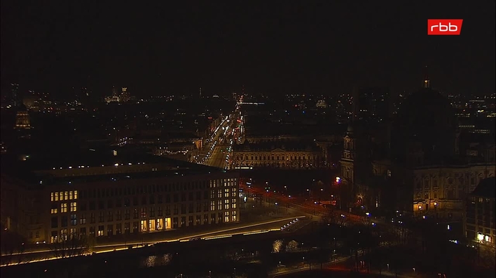
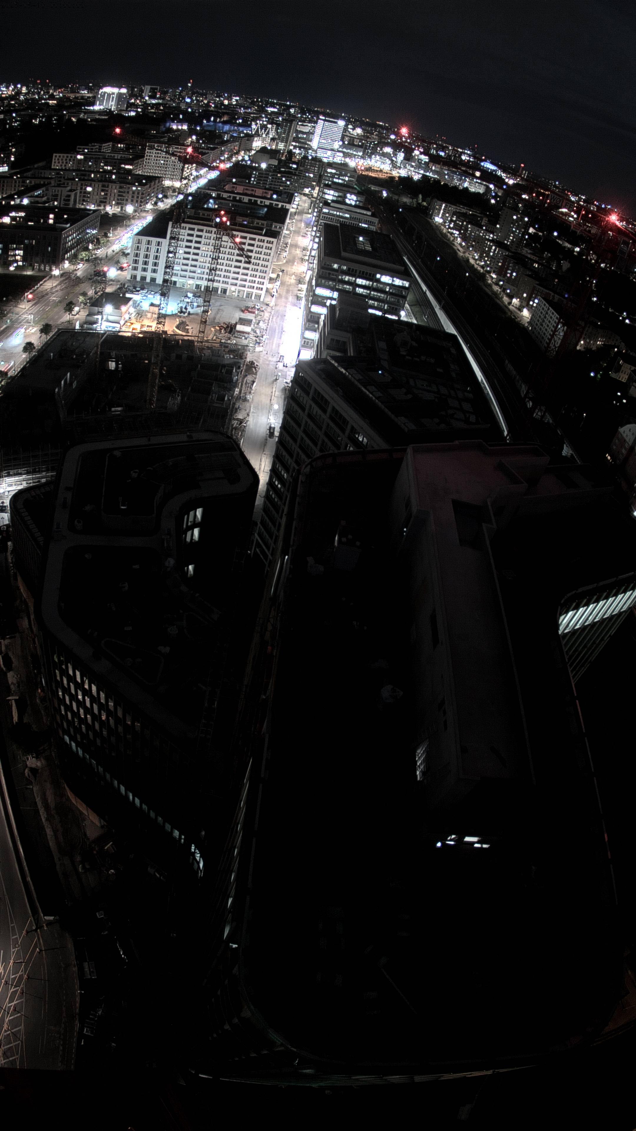
Webcams perto de Müggelberge


História ao redor de Müggelberge
Cidades perto de Müggelberge
- Königs Wusterhausena 13 km
- Neuenhagena 13 km
- Blankenfelde-Mahlowa 17 km
- Berlima 19 km
- Strausberga 25 km
- Teltowa 25 km