Kreuzberg
66 m217 pés
Colina · Alemanha
The Kreuzberg is a hill in the Kreuzberg locality of Berlin, Germany, in former West Berlin. It rises about 66 m (217 ft) above the sea level.
Da Wikipedia, CC BY-SA · Ler o artigo
No cume · previsão para 2:00
6 °CCéu limpo · vento de 6 km/h de O
 Ver em 3D
Clima no cume de Kreuzberg, 66 m
- 2:006 °CO 6 km/h–
- 5:005 °CSO 7 km/h–
- 8:005 °CSO 9 km/h–
- 11:009 °CSO 8 km/h–
- 14:0010 °CO 7 km/h–
- 17:0010 °CO 5 km/h–
- 20:0010 °CSO 5 km/h–
- 23:008 °CO 6 km/h–
| Dia | Céu | Máx. / mín. | Chuva | Vento até |
|---|---|---|---|---|
| Hoje | Nublado | 11 °C / 5 °C | – | 10 km/h |
| sex., 30 de out. | Nublado | 9 °C / 5 °C | – | 10 km/h |
| sáb., 31 de out. | Nublado | 12 °C / 9 °C | – | 14 km/h |
| dom., 1 de nov. | Nublado | 8 °C / 7 °C | – | 9 km/h |
| seg., 2 de nov. | Nublado | 8 °C / 2 °C | 0,4 mm | 7 km/h |
| ter., 3 de nov. | Parcialmente nublado | 10 °C / 5 °C | – | 8 km/h |
| qua., 4 de nov. | Poucas nuvens | 10 °C / 3 °C | – | 8 km/h |
Previsão: MET Norway (CC BY 4.0), atualizada às 00:19 GMT+1. Horários locais.
Ficha técnica
- Tipo
- Colina
- Altitude acima do nível do mar
- 66 m (217 pés)
- País
- Alemanha
- Coordenadas
- 52.488°N 13.381°E
- Fonte
- Wikidata, CC0
Kreuzberg (Tempelhofer Berge)
Hill in Kreuzberg, Berlin, Germany
The Kreuzberg is a hill in the Kreuzberg locality of Berlin, Germany, in former West Berlin. It rises about 66 m (217 ft) above the sea level. It was named by King Frederick William III of Prussia after the Iron Cross which crowns the top of the Prussian National Monument for the Liberation Wars, designed by Karl Friedrich Schinkel, on its inauguration on 30 March 1821.
Da Wikipedia, CC BY-SA · Ler o artigo
Picos perto de Kreuzberg
- Rixdorfer Höhe68 m · a 2,1 kmNo mapa
- Humboldthöhe85 m · a 6,6 kmNo mapa
- Volkspark Prenzlauer Berg91 m · a 7,7 kmNo mapa
- Drachenberg99 m · a 9,2 kmNo mapa
- Teufelsberg120 m · a 9,4 kmNo mapa
- Arkenberge121 m · a 17 kmNo mapa
- Müggelberge115 m · a 19 kmNo mapa
- Pfingstberg76 m · a 23 kmNo mapa
- Telegrafenberg94 m · a 25 kmNo mapa
- Ruinenberg74 m · a 25 kmNo mapa
Montanhas mais altas de Alemanha
- Zugspitze2.962 mNo mapa
- Hochwanner2.744 mNo mapa
- Dreitorspitze2.682 mNo mapa
- Hochkalter2.607 mNo mapa
- Biberkopf2.599 mNo mapa
- Grosser Hundstod2.594 mNo mapa
- Hochvogel2.592 mNo mapa
- Östliche Karwendelspitze2.538 mNo mapa
- Hocheisspitze2.523 mNo mapa
- Hoher Göll2.522 mNo mapa
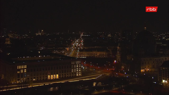
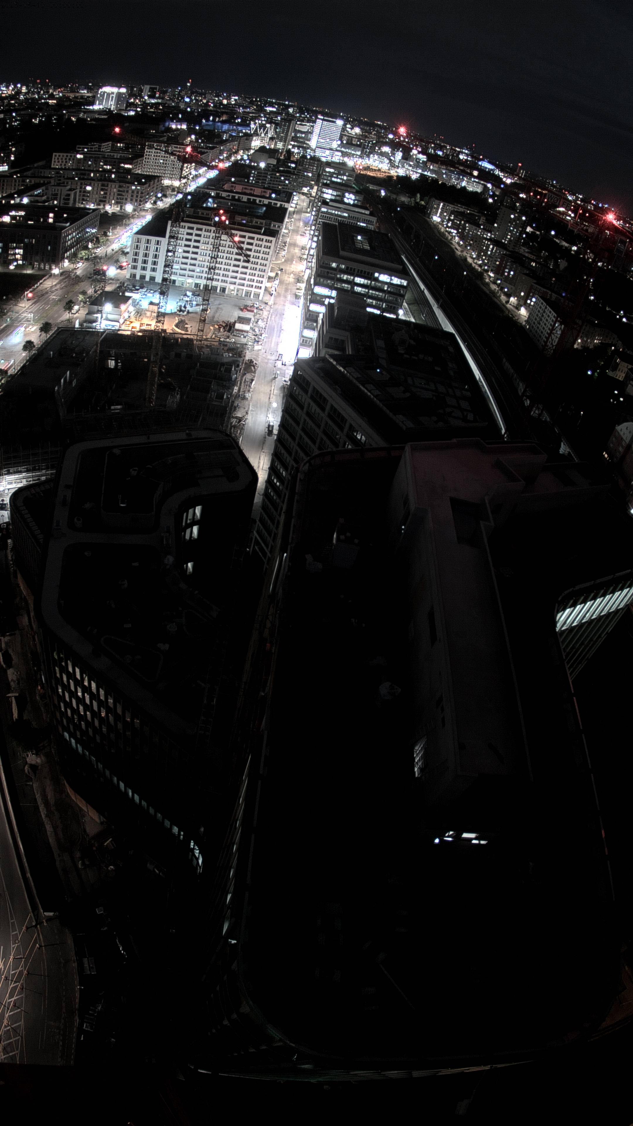
Webcams perto de Kreuzberg


História ao redor de Kreuzberg
- The 2006 FIFA World Cup takes place in Germany; Italy defeats France in the final2006
- Reichstag fire: Germany's parliament building in Berlin, the Reichstag building, is set on fire under controversial circumstances1933
- Battle of Berlin1945
- Tripartite Pact1940
- Kristallnacht1938
- German Revolution of 1918–19191918
- Berlin truck attack: A truck is deliberately driven into the Christmas market next to the Kaiser Wilhelm Memorial Church at Breitscheidplatz in Berlin2016
- Cold War: The Berlin Blockade begins1948
Cidades perto de Kreuzberg
- Berlima 4,5 km
- Teltowa 13 km
- Kleinmachnowa 14 km
- Blankenfelde-Mahlowa 17 km
- Hennigsdorfa 20 km
- Falkenseea 21 km