Negro Mountain
3,213 英尺979 米
山 · 阿勒格尼山脉 · 美国
Negro Mountain is a long ridge of the Allegheny Mountains in the eastern United States, stretching 30-mile (48 km) from Deep Creek Lake in Maryland north to the Casselman River in Pennsylvania. The summit, Mount Davis, is the highest point in Pennsylvania.
来自Wikipedia,CC BY-SA · 阅读文章
山顶 · 1:00 的预报
44 °F多云 · 西南风 4 英里/小时
 3D 查看
Negro Mountain山顶天气,3,213 英尺
- 1:0044 °F西南 4 英里/小时–
- 4:0042 °F西南 3 英里/小时–
- 7:0043 °F东南 1 英里/小时–
- 10:0054 °F南 2 英里/小时–
- 13:0062 °F北 2 英里/小时–
- 16:0064 °F东北 4 英里/小时–
- 19:0052 °F东南 5 英里/小时–
- 22:0046 °F东南 6 英里/小时–
| 日期 | 天气 | 最高 / 最低 | 雨 | 最大风速 |
|---|---|---|---|---|
| 今天 | 少云 | 64 °F / 42 °F | – | 6 英里/小时 |
| 10月28日周三 | 多云 | 60 °F / 42 °F | – | 9 英里/小时 |
| 10月29日周四 | 晴 | 63 °F / 43 °F | – | 10 英里/小时 |
| 10月30日周五 | 阴 | 54 °F / 44 °F | 0 英寸 | 7 英里/小时 |
| 10月31日周六 | 阴 | 59 °F / 37 °F | – | 7 英里/小时 |
| 11月1日周日 | 中雨 | 57 °F / 47 °F | 0.2 英寸 | 12 英里/小时 |
| 11月2日周一 | 阴 | 62 °F / 51 °F | 0.11 英寸 | 11 英里/小时 |
预报来自 MET Norway(CC BY 4.0),更新于 GMT-4 21:17。时间均为当地时间。
基本信息
Negro Mountain
Mountain ridge in Pennsylvania, United States
Negro Mountain is a long ridge of the Allegheny Mountains in the eastern United States, stretching 30-mile (48 km) from Deep Creek Lake in Maryland north to the Casselman River in Pennsylvania. The summit, Mount Davis, is the highest point in Pennsylvania. Negro Mountain is flanked by Laurel Hill to the west and Allegheny Mountain to the east.
来自Wikipedia,CC BY-SA · 阅读文章
Negro Mountain附近的山峰
- 戴维斯山3,212 英尺 · 0.1 公里外地图上
- Dans Mountain2,895 英尺 · 33 公里外地图上
- 黑斯泰克山1,706 英尺 · 35 公里外地图上
- Laurel Hill2,994 英尺 · 42 公里外地图上
- 威爾斯山2,789 英尺 · 43 公里外地图上
- Collier Mountain1,457 英尺 · 46 公里外地图上
- Allegheny Mountain3,010 英尺 · 47 公里外地图上
- Breakneck Hill1,872 英尺 · 47 公里外地图上
- Warrior Mountain2,185 英尺 · 51 公里外地图上
- Martin Hill2,775 英尺 · 53 公里外地图上
阿勒格尼山脉最高峰
- 斯普鲁斯山4,863 英尺地图上
- 斯普鲁斯丘4,862 英尺地图上
- Thorny Flat4,623 英尺地图上
- North Fork Mountain4,588 英尺地图上
- Allegheny Mountain4,478 英尺地图上
- 雪南多瓦山脈4,397 英尺地图上
- White Top4,085 英尺地图上
- Peters Mountain4,073 英尺地图上
- Negro Mountain3,213 英尺地图上
美国最高的山
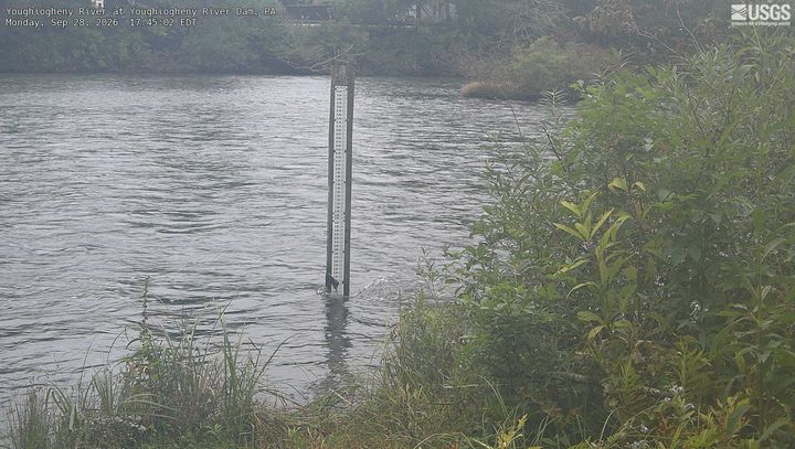
Negro Mountain附近的网络摄像头
Negro Mountain附近的城镇
- Frostburg26 公里外
- 坎伯兰38 公里外
- Oakland45 公里外
- 约翰斯敦64 公里外
- Brownsville66 公里外
- Greensburg66 公里外