 See it in 3D
Facts
- What it is
- Mountain
- Height above sea level
- 3,213 ft (979 m)
- Range
- Allegheny Mountains
- Country
- United States
- Coordinates
- 39.786°N 79.175°W
- Source
- Wikidata, CC0
Peaks near Negro Mountain
- Mount Davis3,212 ft · 0.1 km awayOn the map
- Dans Mountain2,895 ft · 33 km awayOn the map
- Haystack Mountain1,706 ft · 35 km awayOn the map
- Laurel Hill2,994 ft · 42 km awayOn the map
- Wills Mountain2,789 ft · 43 km awayOn the map
- Collier Mountain1,457 ft · 46 km awayOn the map
- Allegheny Mountain3,010 ft · 47 km awayOn the map
- Breakneck Hill1,872 ft · 47 km awayOn the map
- Warrior Mountain2,185 ft · 51 km awayOn the map
- Martin Hill2,775 ft · 53 km awayOn the map
Highest in the Allegheny Mountains
- Spruce Mountain4,863 ftOn the map
- Spruce Knob4,862 ftOn the map
- Thorny Flat4,623 ftOn the map
- North Fork Mountain4,588 ftOn the map
- Allegheny Mountain4,478 ftOn the map
- Shenandoah Mountain4,397 ftOn the map
- White Top4,085 ftOn the map
- Peters Mountain4,073 ftOn the map
- Negro Mountain3,213 ftOn the map
Highest mountains in United States
- Denali20,308 ftOn the map
- Mount Saint Elias18,009 ftOn the map
- Mount Foraker17,402 ftOn the map
- Mount Bona16,535 ftOn the map
- Mount Blackburn16,390 ftOn the map
- Mount Sanford16,237 ftOn the map
- Mount Vancouver15,787 ftOn the map
- Mount Churchill15,636 ftOn the map
- Mount Fairweather15,325 ftOn the map
- Mount Hubbard14,951 ftOn the map
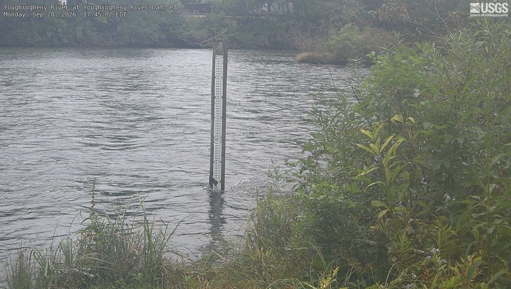
Webcams near Negro Mountain

Towns near Negro Mountain
- Frostburg26 km away
- Cumberland38 km away
- Oakland45 km away
- Johnstown64 km away
- Brownsville66 km away
- Greensburg66 km away