美国的山
Signal Knob
2,106 英尺642 米
山 · 美国
Signal Knob is the northern peak of Massanutten Mountain in the Ridge and Valley Appalachians with an elevation of 2,106 feet (642 m). It is located in George Washington National Forest in Shenandoah County and Warren County in Virginia.
来自Wikipedia,CC BY-SA · 阅读文章
山顶 · 3:00 的预报
46 °F晴 · 南风 3 英里/小时
 3D 查看

Signal Knob山顶天气,2,106 英尺
- 3:0046 °F南 3 英里/小时–
- 6:0043 °F西南 2 英里/小时–
- 9:0047 °F西 2 英里/小时–
- 12:0060 °F东南 5 英里/小时–
- 15:0063 °F东南 8 英里/小时–
- 18:0057 °F东南 7 英里/小时–
- 21:0050 °F东南 5 英里/小时–
- 0:0045 °F西南 4 英里/小时–
| 日期 | 天气 | 最高 / 最低 | 雨 | 最大风速 |
|---|---|---|---|---|
| 今天 | 阴 | 63 °F / 42 °F | – | 8 英里/小时 |
| 10月29日周四 | 晴 | 68 °F / 41 °F | – | 7 英里/小时 |
| 10月30日周五 | 晴 | 66 °F / 46 °F | – | 11 英里/小时 |
| 10月31日周六 | 阴 | 58 °F / 40 °F | – | 2 英里/小时 |
| 11月1日周日 | 晴 | 66 °F / 44 °F | – | 11 英里/小时 |
| 11月2日周一 | 中雨 | 53 °F / 45 °F | 0.07 英寸 | 6 英里/小时 |
| 11月3日周二 | 阴 | 61 °F / 48 °F | 0 英寸 | 8 英里/小时 |
预报来自 MET Norway(CC BY 4.0),更新于 GMT-4 21:17。时间均为当地时间。
基本信息
Signal Knob附近的山峰
- High Knob2,388 英尺 · 20 公里外地图上
- Great North Mountain3,293 英尺 · 22 公里外地图上
- Hogback Mountain3,471 英尺 · 23 公里外地图上
- Knob Mountain2,671 英尺 · 25 公里外地图上
- Short Mountain2,811 英尺 · 27 公里外地图上
- Pignut Mountain2,535 英尺 · 28 公里外地图上
- Big Schloss2,964 英尺 · 29 公里外地图上
- Baker Mountain2,024 英尺 · 30 公里外地图上
- North River Mountain2,149 英尺 · 33 公里外地图上
- Mary's Rock3,514 英尺 · 35 公里外地图上
美国最高的山
Signal Knob附近的网络摄像头
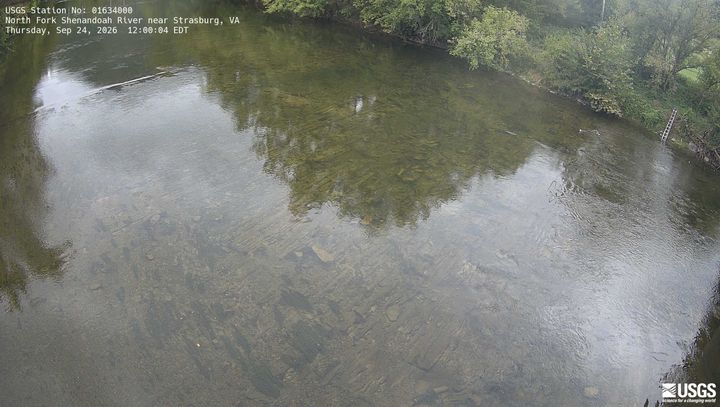 North Fork Shenandoah River near Strasburg距山顶 1.8 公里
 NEON Site - D02 (Mid-Atlantic) Posey Creek, Virgina - aquatic/stream-gauge camera距山顶 18 公里
 NEON Site - D02 (Mid-Atlantic) Smithsonian Conservation Biology Institute, Virginia - tower top距山顶 18 公里
 NEON Site - D02 (Mid-Atlantic) Smithsonian Conservation Biology Institute, Virginia - mid-tower距山顶 18 公里
Signal Knob周边的历史
Signal Knob附近的城镇
- Strasburg5 公里外
- Middletown8.9 公里外
- Toms Brook9.6 公里外
- 弗兰特罗亚尔13 公里外
- Woodstock19 公里外
- Edinburg25 公里外