 See it in 3D

Facts
- What it is
- Mountain
- Height above sea level
- 2,106 ft (642 m)
- Country
- United States
- Coordinates
- 38.961°N 78.331°W
- Source
- Wikidata, CC0
Peaks near Signal Knob
- High Knob2,388 ft · 20 km awayOn the map
- Great North Mountain3,293 ft · 22 km awayOn the map
- Hogback Mountain3,471 ft · 23 km awayOn the map
- Knob Mountain2,671 ft · 25 km awayOn the map
- Short Mountain2,811 ft · 27 km awayOn the map
- Pignut Mountain2,535 ft · 28 km awayOn the map
- Big Schloss2,964 ft · 29 km awayOn the map
- Baker Mountain2,024 ft · 30 km awayOn the map
- North River Mountain2,149 ft · 33 km awayOn the map
- Mary's Rock3,514 ft · 35 km awayOn the map
Highest mountains in United States
- Denali20,308 ftOn the map
- Mount Saint Elias18,009 ftOn the map
- Mount Foraker17,402 ftOn the map
- Mount Bona16,535 ftOn the map
- Mount Blackburn16,390 ftOn the map
- Mount Sanford16,237 ftOn the map
- Mount Vancouver15,787 ftOn the map
- Mount Churchill15,636 ftOn the map
- Mount Fairweather15,325 ftOn the map
- Mount Hubbard14,951 ftOn the map
Webcams near Signal Knob
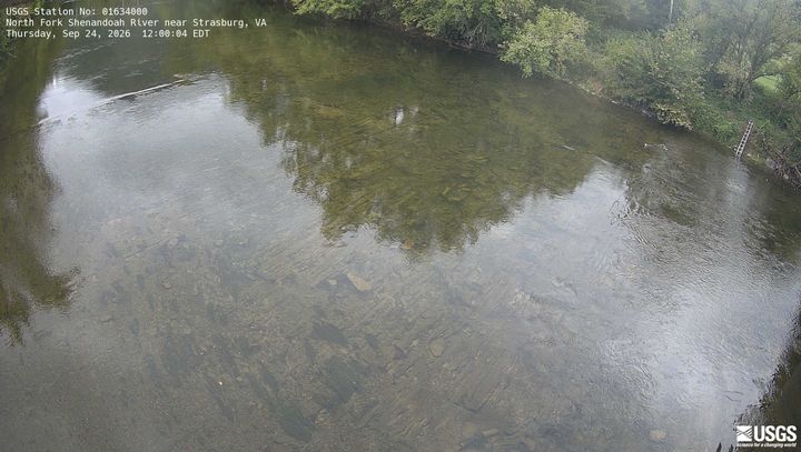 North Fork Shenandoah River near Strasburg1.8 km from the summit
 NEON Site - D02 (Mid-Atlantic) Posey Creek, Virgina - aquatic/stream-gauge camera18 km from the summit
 NEON Site - D02 (Mid-Atlantic) Smithsonian Conservation Biology Institute, Virginia - tower top18 km from the summit
 NEON Site - D02 (Mid-Atlantic) Smithsonian Conservation Biology Institute, Virginia - mid-tower18 km from the summit
History around Signal Knob
Towns near Signal Knob
- Strasburg5 km away
- Middletown8.9 km away
- Toms Brook9.6 km away
- Front Royal13 km away
- Woodstock19 km away
- Edinburg25 km away