Tray Mountain
4,430 英尺1,350 米
山 · 藍嶺山脈 · 美国
Tray Mountain, with an elevation of 4,430 ft (1,350 m) is the seventh-highest peak in Georgia. The boundary line between White and Towns counties bisects the mountain, but leaves the summit in Towns County. Habersham County lies on a lower part of the mountain, but not on the summit.
来自Wikipedia,CC BY-SA · 阅读文章
山顶 · 15:00 的预报
64 °F晴 · 东南风 6 英里/小时
 3D 查看
Tray Mountain山顶天气,4,430 英尺
- 15:0064 °F东南 6 英里/小时–
- 18:0059 °F东 6 英里/小时–
- 21:0048 °F东 6 英里/小时–
- 0:0045 °F东 7 英里/小时–
- 3:0043 °F东 9 英里/小时–
- 6:0042 °F东 6 英里/小时–
- 9:0046 °F东 7 英里/小时–
- 12:0058 °F东 8 英里/小时–
| 日期 | 天气 | 最高 / 最低 | 雨 | 最大风速 |
|---|---|---|---|---|
| 10月28日周三 | 多云 | 62 °F / 41 °F | – | 9 英里/小时 |
| 10月29日周四 | 晴 | 64 °F / 40 °F | – | 7 英里/小时 |
| 10月30日周五 | 阴 | 68 °F / 42 °F | – | 5 英里/小时 |
| 10月31日周六 | 阴 | 60 °F / 49 °F | – | 12 英里/小时 |
| 11月1日周日 | 中雨 | 49 °F / 47 °F | 0.2 英寸 | 10 英里/小时 |
| 11月2日周一 | 阴 | 51 °F / 48 °F | 0.19 英寸 | 8 英里/小时 |
| 11月3日周二 | 小雨 | 58 °F / 49 °F | 0.05 英寸 | 11 英里/小时 |
预报来自 MET Norway(CC BY 4.0),更新于 GMT-4 07:19。时间均为当地时间。
基本信息
Tray Mountain
Mountain in Georgia, United States
Tray Mountain, with an elevation of 4,430 ft (1,350 m) is the seventh-highest peak in Georgia. The boundary line between White and Towns counties bisects the mountain, but leaves the summit in Towns County. Habersham County lies on a lower part of the mountain, but not on the summit. Tray Mountain is within the borders of the Chattahoochee National Forest and is part of the Tray Mountain Wilderness.
来自Wikipedia,CC BY-SA · 阅读文章
Tray Mountain附近的山峰
- Young Lick3,809 英尺 · 3.7 公里外地图上
- Double Spring Knob4,280 英尺 · 8.9 公里外地图上
- Jacks Knob3,813 英尺 · 10 公里外地图上
- Wolfpen Ridge4,561 英尺 · 13 公里外地图上
- 布拉斯敦峰4,783 英尺 · 14 公里外地图上
- Wildcat Mountain3,760 英尺 · 17 公里外地图上
- Cowrock Mountain3,852 英尺 · 18 公里外地图上
- Yonah Mountain3,166 英尺 · 18 公里外地图上
- Hightower Bald4,568 英尺 · 21 公里外地图上
- Blood Mountain4,458 英尺 · 24 公里外地图上
藍嶺山脈最高峰
- 罗杰斯山5,988 英尺地图上
- Grandfather Mountain5,965 英尺地图上
- Mount Pisgah5,721 英尺地图上
- Devil's Courthouse5,720 英尺地图上
- Snake Mountain (North Carolina)5,564 英尺地图上
- Elk Knob5,538 英尺地图上
- Whitetop Mountain5,518 英尺地图上
- Beech Mountain5,506 英尺地图上
- Tray Mountain4,430 英尺地图上
美国最高的山
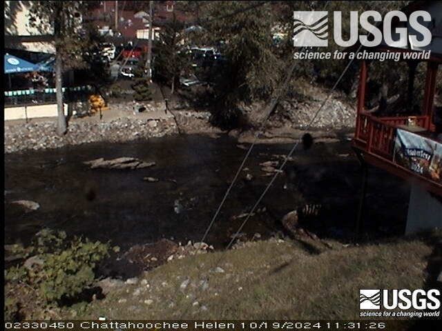
Tray Mountain附近的网络摄像头
Tray Mountain附近的城镇
- Helen11 公里外
- Hiawassee17 公里外
- Young Harris21 公里外
- Clarkesville26 公里外
- Clayton27 公里外
- Mountain City31 公里外