美国的山
Ubehebe Peak
山 · 美国
Ubehebe Peak is a double summit mountain located within Death Valley National Park, in Inyo County, California. Ubehebe Peak rises over the west side of the Racetrack Playa, and lies at the south end of the Last Chance Range.
来自Wikipedia,CC BY-SA · 阅读文章
山顶 · 7:00 的预报
48 °F晴 · 东风 3 英里/小时
 3D 查看
Ubehebe Peak天气预报
- 7:0048 °F东 3 英里/小时–
- 10:0058 °F东 5 英里/小时–
- 13:0063 °F东南 8 英里/小时–
- 16:0064 °F东南 9 英里/小时–
- 19:0056 °F东 4 英里/小时–
- 22:0053 °F东 3 英里/小时–
- 1:0052 °F东 2 英里/小时–
- 4:0050 °F东 2 英里/小时–
| 日期 | 天气 | 最高 / 最低 | 雨 | 最大风速 |
|---|---|---|---|---|
| 今天 | 晴 | 65 °F / 48 °F | – | 9 英里/小时 |
| 10月28日周三 | 多云 | 64 °F / 49 °F | – | 7 英里/小时 |
| 10月29日周四 | 少云 | 63 °F / 50 °F | – | 6 英里/小时 |
| 10月30日周五 | 晴 | 60 °F / 49 °F | – | 6 英里/小时 |
| 10月31日周六 | 少云 | 56 °F / 46 °F | 0 英寸 | 8 英里/小时 |
| 11月1日周日 | 多云 | 59 °F / 49 °F | 0.02 英寸 | 3 英里/小时 |
| 11月2日周一 | 晴 | 62 °F / 46 °F | – | 3 英里/小时 |
预报来自 MET Norway(CC BY 4.0),更新于 GMT-7 18:17。时间均为当地时间。
基本信息
Ubehebe Peak附近的山峰
- The Grandstand73 英尺 · 1.7 公里外地图上
- Tin Mountain8,953 英尺 · 25 公里外地图上
- Grapevine Peak8,737 英尺 · 49 公里外地图上
- Waucoba Mountain11,128 英尺 · 53 公里外地图上
- Lone Pine Peak12,949 英尺 · 59 公里外地图上
- White Top Mountain山 · 18 公里外地图上
- Dry Mountain8,678 英尺 · 24 公里外地图上
- Keynot Peak山 · 34 公里外地图上
- Wahguyhe Peak山 · 51 公里外地图上
- Corkscrew Peak山 · 53 公里外地图上
美国最高的山
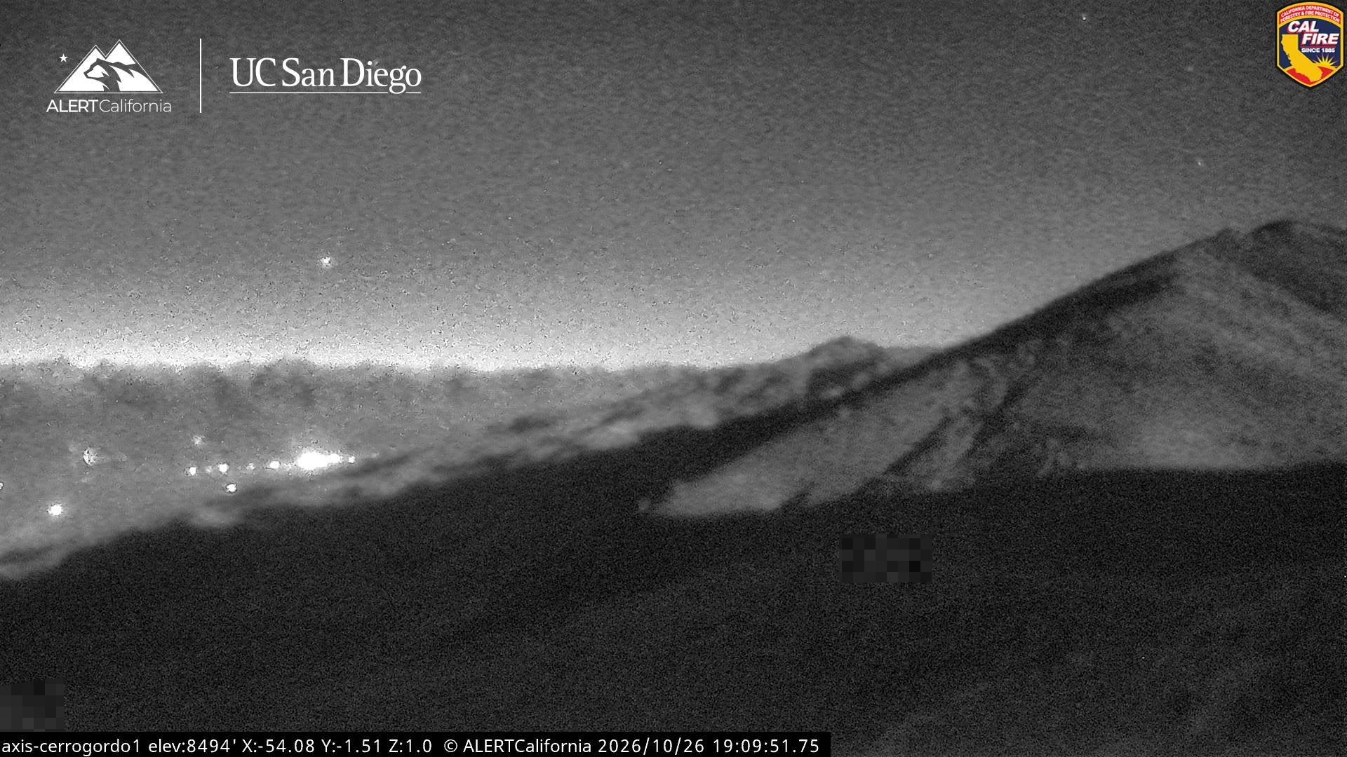
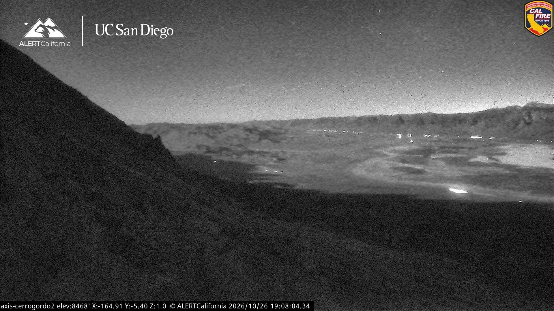
Ubehebe Peak附近的网络摄像头
Ubehebe Peak周边的历史
- Horseshoe Fire2024
- Georges Fire2018