Mountains in United States
Ubehebe Peak
Mountain · United States
Ubehebe Peak is a double summit mountain located within Death Valley National Park, in Inyo County, California. Ubehebe Peak rises over the west side of the Racetrack Playa, and lies at the south end of the Last Chance Range.
From Wikipedia, CC BY-SA · Read the article
At the summit · forecast for 9:00 PM
54 °FClear · wind 2 mph from the E
 See it in 3D
Ubehebe Peak weather forecast
- 9:00 PM54 °FE 2 mph–
- 12:00 AM52 °FE 2 mph–
- 3:00 AM50 °FE 2 mph–
- 6:00 AM48 °FE 2 mph–
- 9:00 AM56 °FE 5 mph–
- 12:00 PM62 °FSE 7 mph–
- 3:00 PM65 °FSE 9 mph–
- 6:00 PM58 °FE 4 mph–
| Day | Sky | High / low | Rain | Wind up to |
|---|---|---|---|---|
| Tue, Oct 27 | Clear | 65 °F / 48 °F | – | 9 mph |
| Wed, Oct 28 | Partly cloudy | 64 °F / 49 °F | – | 7 mph |
| Thu, Oct 29 | Mostly clear | 63 °F / 50 °F | – | 6 mph |
| Fri, Oct 30 | Clear | 60 °F / 49 °F | – | 6 mph |
| Sat, Oct 31 | Mostly clear | 56 °F / 46 °F | 0 in | 8 mph |
| Sun, Nov 1 | Partly cloudy | 59 °F / 49 °F | 0.02 in | 3 mph |
| Mon, Nov 2 | Clear | 62 °F / 46 °F | – | 3 mph |
Forecast by MET Norway (CC BY 4.0), updated 06:17 PM PDT. Times are local.
Facts
- What it is
- Mountain
- Country
- United States
- Coordinates
- 36.691°N 117.586°W
- Source
- Wikidata, CC0
Peaks near Ubehebe Peak
- The Grandstand73 ft · 1.7 km awayOn the map
- Tin Mountain8,953 ft · 25 km awayOn the map
- Grapevine Peak8,737 ft · 49 km awayOn the map
- Waucoba Mountain11,128 ft · 53 km awayOn the map
- Lone Pine Peak12,949 ft · 59 km awayOn the map
- White Top MountainMountain · 18 km awayOn the map
- Dry Mountain8,678 ft · 24 km awayOn the map
- Keynot PeakMountain · 34 km awayOn the map
- Wahguyhe PeakMountain · 51 km awayOn the map
- Corkscrew PeakMountain · 53 km awayOn the map
Highest mountains in United States
- Denali20,308 ftOn the map
- Mount Saint Elias18,009 ftOn the map
- Mount Foraker17,402 ftOn the map
- Mount Bona16,535 ftOn the map
- Mount Blackburn16,390 ftOn the map
- Mount Sanford16,237 ftOn the map
- Mount Vancouver15,787 ftOn the map
- Mount Churchill15,636 ftOn the map
- Mount Fairweather15,325 ftOn the map
- Mount Hubbard14,951 ftOn the map
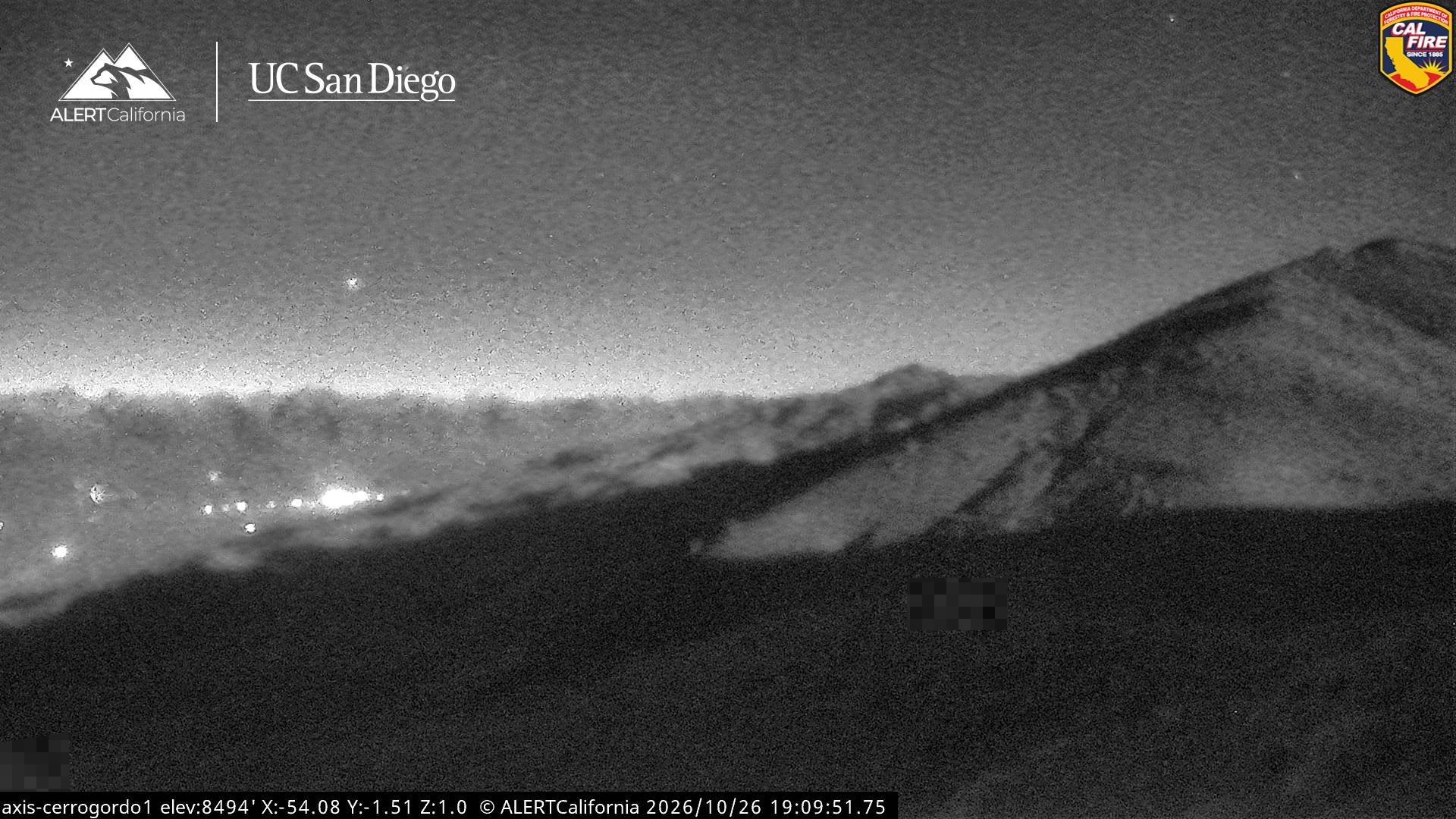
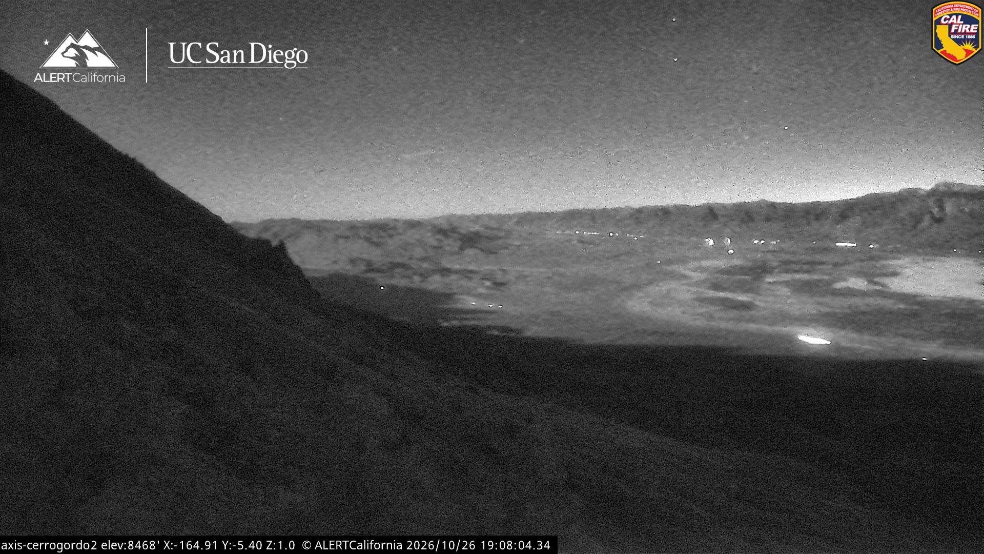
Webcams near Ubehebe Peak
History around Ubehebe Peak
- Horseshoe Fire2024
- Georges Fire2018