Jacks Knob
3.813 ft1.162 m
Berg · Vereinigte Staaten
Jacks Knob is a mountain located on the border of Towns County and Union County, Georgia, with a peak elevation of 3,813 feet. The Appalachian Trail crosses the southern flank of the mountain and Jacks Knob Trail ends here at an intersection with the Appalachian Trail.
Aus Wikipedia, CC BY-SA · Artikel lesen
Am Gipfel · Vorhersage für 22:00
49 °FTeilweise bewölkt · Wind 4 mph aus S
 In 3D ansehen
Wetter auf dem Gipfel: Jacks Knob, 3.813 ft
- 22:0049 °FS 4 mph–
- 1:0047 °FS 3 mph–
- 4:0044 °FS 3 mph–
- 7:0044 °FN 3 mph–
- 10:0057 °FO 3 mph–
- 13:0064 °FSO 6 mph–
- 16:0066 °FSO 6 mph–
- 19:0054 °FO 6 mph–
| Tag | Himmel | Max. / Min. | Regen | Wind bis |
|---|---|---|---|---|
| Di., 27. Okt. | Klar | 66 °F / 43 °F | – | 9 mph |
| Mi., 28. Okt. | Teilweise bewölkt | 63 °F / 44 °F | – | 8 mph |
| Do., 29. Okt. | Klar | 64 °F / 43 °F | – | 7 mph |
| Fr., 30. Okt. | Klar | 69 °F / 47 °F | – | 4 mph |
| Sa., 31. Okt. | Bewölkt | 60 °F / 52 °F | – | 9 mph |
| So., 1. Nov. | Regen | 53 °F / 50 °F | 0,51 in | 11 mph |
| Mo., 2. Nov. | Bewölkt | 60 °F / 53 °F | 0,04 in | 6 mph |
Vorhersage von MET Norway (CC BY 4.0), aktualisiert um 21:17 GMT-4. Zeiten in Ortszeit.
Fakten
- Art
- Berg
- Höhe über dem Meer
- 3.813 ft (1.162 m)
- Koordinaten
- 34.825°N 83.795°W
- Quelle
- Wikidata, CC0
Jacks Knob
Mountain in the United States
Jacks Knob is a mountain located on the border of Towns County and Union County, Georgia, with a peak elevation of 3,813 feet. The Appalachian Trail crosses the southern flank of the mountain and Jacks Knob Trail ends here at an intersection with the Appalachian Trail. Jacks Knob is in the Mark Trail Wilderness of the Chattahoochee National Forest.
Aus Wikipedia, CC BY-SA · Artikel lesen
Gipfel nahe Jacks Knob
- Wolfpen Ridge4.561 ft · 4,5 km entferntAuf der Karte
- Brasstown Bald4.783 ft · 5,6 km entferntAuf der Karte
- Tray Mountain4.430 ft · 10 km entferntAuf der Karte
- Wildcat Mountain3.760 ft · 12 km entferntAuf der Karte
- Cowrock Mountain3.852 ft · 13 km entferntAuf der Karte
- Young Lick3.809 ft · 13 km entferntAuf der Karte
- Double Spring Knob4.280 ft · 14 km entferntAuf der Karte
- Blood Mountain4.458 ft · 16 km entferntAuf der Karte
- Coosa Bald4.280 ft · 16 km entferntAuf der Karte
- Slaughter Mountain4.338 ft · 17 km entferntAuf der Karte
Höchste Berge in Vereinigte Staaten
- Denali20.308 ftAuf der Karte
- Mount Saint Elias18.009 ftAuf der Karte
- Mount Foraker17.402 ftAuf der Karte
- Mount Bona16.535 ftAuf der Karte
- Mount Blackburn16.390 ftAuf der Karte
- Mount Sanford16.237 ftAuf der Karte
- Mount Vancouver15.787 ftAuf der Karte
- Mount Churchill15.636 ftAuf der Karte
- Mount Fairweather15.325 ftAuf der Karte
- Mount Hubbard14.951 ftAuf der Karte
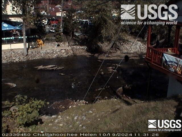
Webcams nahe Jacks Knob
Orte nahe Jacks Knob
- Young Harris13 km entfernt
- Hiawassee14 km entfernt
- Helen14 km entfernt
- Clarkesville34 km entfernt
- Clayton36 km entfernt
- Murphy37 km entfernt