 See it in 3D
Facts
- What it is
- Mountain
- Height above sea level
- 3,813 ft (1,162 m)
- Country
- United States
- Coordinates
- 34.825°N 83.795°W
- Source
- Wikidata, CC0
Peaks near Jacks Knob
- Wolfpen Ridge4,561 ft · 4.5 km awayOn the map
- Brasstown Bald4,783 ft · 5.6 km awayOn the map
- Tray Mountain4,430 ft · 10 km awayOn the map
- Wildcat Mountain3,760 ft · 12 km awayOn the map
- Cowrock Mountain3,852 ft · 13 km awayOn the map
- Young Lick3,809 ft · 13 km awayOn the map
- Double Spring Knob4,280 ft · 14 km awayOn the map
- Blood Mountain4,458 ft · 16 km awayOn the map
- Coosa Bald4,280 ft · 16 km awayOn the map
- Slaughter Mountain4,338 ft · 17 km awayOn the map
Highest mountains in United States
- Denali20,308 ftOn the map
- Mount Saint Elias18,009 ftOn the map
- Mount Foraker17,402 ftOn the map
- Mount Bona16,535 ftOn the map
- Mount Blackburn16,390 ftOn the map
- Mount Sanford16,237 ftOn the map
- Mount Vancouver15,787 ftOn the map
- Mount Churchill15,636 ftOn the map
- Mount Fairweather15,325 ftOn the map
- Mount Hubbard14,951 ftOn the map
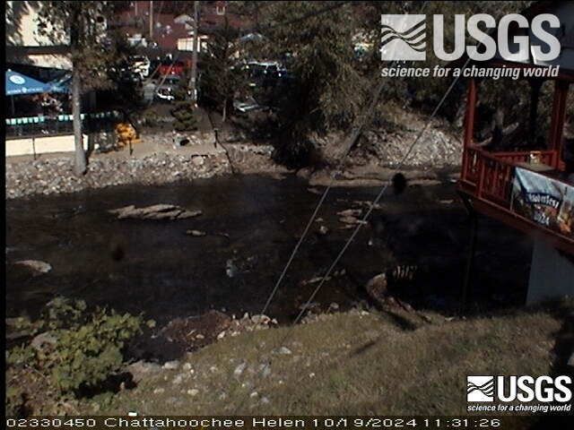
Webcams near Jacks Knob

Towns near Jacks Knob
- Young Harris13 km away
- Hiawassee14 km away
- Helen14 km away
- Clarkesville34 km away
- Clayton36 km away
- Murphy37 km away