Jacks Knob
3,813 ft1,162 m
山 · アメリカ合衆国
Jacks Knob is a mountain located on the border of Towns County and Union County, Georgia, with a peak elevation of 3,813 feet. The Appalachian Trail crosses the southern flank of the mountain and Jacks Knob Trail ends here at an intersection with the Appalachian Trail.
出典: Wikipedia、CC BY-SA · 記事を読む
山頂 · 10:00 の予報
57 °F快晴 · 東の風 3 mph
 3D で見る
Jacks Knob 山頂の天気(3,813 ft)
- 10:0057 °F東 3 mph–
- 13:0064 °F南東 6 mph–
- 16:0066 °F南東 6 mph–
- 19:0054 °F東 6 mph–
- 22:0050 °F南東 8 mph–
- 1:0048 °F東 8 mph–
- 4:0046 °F東 7 mph–
- 7:0045 °F東 6 mph–
| 日付 | 天気 | 最高 / 最低 | 雨 | 最大風速 |
|---|---|---|---|---|
| 今日 | 快晴 | 66 °F / 49 °F | – | 9 mph |
| 10月28日(水) | 晴れ時々曇り | 63 °F / 44 °F | – | 8 mph |
| 10月29日(木) | 快晴 | 64 °F / 43 °F | – | 7 mph |
| 10月30日(金) | 快晴 | 69 °F / 47 °F | – | 4 mph |
| 10月31日(土) | 曇り | 60 °F / 52 °F | – | 9 mph |
| 11月1日(日) | 雨 | 53 °F / 50 °F | 0.51 インチ | 11 mph |
| 11月2日(月) | 曇り | 60 °F / 53 °F | 0.04 インチ | 6 mph |
MET Norway(CC BY 4.0)による予報。21:17 GMT-4 更新。時刻は現地時間です。
基本データ
- 種類
- 山
- 標高
- 3,813 ft (1,162 m)
- 座標
- 34.825°N 83.795°W
Jacks Knob
Mountain in the United States
Jacks Knob is a mountain located on the border of Towns County and Union County, Georgia, with a peak elevation of 3,813 feet. The Appalachian Trail crosses the southern flank of the mountain and Jacks Knob Trail ends here at an intersection with the Appalachian Trail. Jacks Knob is in the Mark Trail Wilderness of the Chattahoochee National Forest.
出典: Wikipedia、CC BY-SA · 記事を読む
Jacks Knob周辺の山
- Wolfpen Ridge4,561 ft · 4.5 km先地図上
- Brasstown Bald4,783 ft · 5.6 km先地図上
- Tray Mountain4,430 ft · 10 km先地図上
- Wildcat Mountain3,760 ft · 12 km先地図上
- Cowrock Mountain3,852 ft · 13 km先地図上
- Young Lick3,809 ft · 13 km先地図上
- Double Spring Knob4,280 ft · 14 km先地図上
- Blood Mountain4,458 ft · 16 km先地図上
- Coosa Bald4,280 ft · 16 km先地図上
- Slaughter Mountain4,338 ft · 17 km先地図上
アメリカ合衆国の高い山
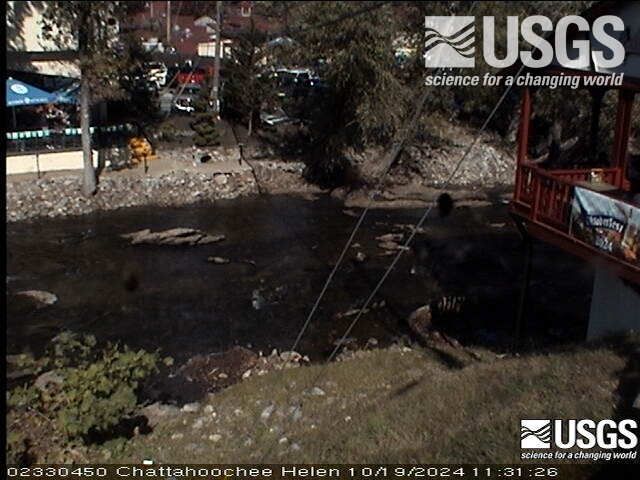
Jacks Knob周辺のライブカメラ
Jacks Knob周辺の町
- Young Harris13 km先
- Hiawassee14 km先
- Helen14 km先
- Clarkesville34 km先
- Clayton36 km先
- Murphy37 km先