Scarr
641 m2.103 ft
Berg · Wicklow Mountains · Irland
Scarr Mountain at 641 metres (2,103 ft), is the 174th–highest peak in Ireland on the Arderin scale, and the 207th–highest peak on the Vandeleur-Lynam scale.
Aus Wikipedia, CC BY-SA · Artikel lesen
Am Gipfel · Vorhersage für 0:00
10 °CRegen · Wind 34 km/h aus SW
 In 3D ansehen
Wetter auf dem Gipfel: Scarr, 641 m
- 0:0010 °CSW 34 km/h0,8 mm
- 3:006 °CSW 31 km/h–
- 6:004 °CSW 31 km/h–
- 9:005 °CW 34 km/h0,2 mm
- 12:007 °CW 32 km/h0,9 mm
- 15:006 °CW 26 km/h0,5 mm
- 18:005 °CW 25 km/h–
- 21:005 °CSW 26 km/h–
| Tag | Himmel | Max. / Min. | Regen | Wind bis |
|---|---|---|---|---|
| Di., 27. Okt. | Regen | 10 °C / 4 °C | 2,4 mm | 35 km/h |
| Mi., 28. Okt. | Bewölkt | 11 °C / 5 °C | 0,1 mm | 30 km/h |
| Do., 29. Okt. | Leichter Regen | 9 °C / 7 °C | 1,8 mm | 27 km/h |
| Fr., 30. Okt. | Bewölkt | 10 °C / 7 °C | 4,1 mm | 23 km/h |
| Sa., 31. Okt. | Leichter Regen | 8 °C / 4 °C | 0,6 mm | 5 km/h |
| So., 1. Nov. | Teilweise bewölkt | 5 °C / 1 °C | – | 10 km/h |
| Mo., 2. Nov. | Überwiegend klar | 7 °C / 1 °C | – | 12 km/h |
Vorhersage von MET Norway (CC BY 4.0), aktualisiert um 19:16 GMT. Zeiten in Ortszeit.
Fakten
- Art
- Berg
- Höhe über dem Meer
- 641 m (2.103 ft)
- Schartenhöhe
- 231 m (758 ft)
- Gebirge
- Wicklow Mountains
- Land
- Irland
- Koordinaten
- 53.055°N 6.311°W
- Quelle
- Wikidata, CC0
Scarr
Mountain in Wicklow, Ireland
Scarr Mountain at 641 metres (2,103 ft), is the 174th–highest peak in Ireland on the Arderin scale, and the 207th–highest peak on the Vandeleur-Lynam scale. Scarr is situated in the central sector of the Wicklow Mountains range, but off main "central spine" of the range that runs from Kippure in the north, to Lugnaquillia in the south.
Aus Wikipedia, CC BY-SA · Artikel lesen
Gipfel nahe Scarr
- Tonelagee817 m · 4,7 km entferntAuf der Karte
- Camaderry699 m · 5,6 km entferntAuf der Karte
- Luggala595 m · 5,9 km entferntAuf der Karte
- Barnacullian714 m · 6,6 km entferntAuf der Karte
- Duff Hill720 m · 7,8 km entferntAuf der Karte
- Turlough Hill681 m · 7,8 km entferntAuf der Karte
- Gravale718 m · 8,1 km entferntAuf der Karte
- Mullaghcleevaun849 m · 8,3 km entferntAuf der Karte
- Carrigvore682 m · 8,4 km entferntAuf der Karte
- Lugduff652 m · 8,8 km entferntAuf der Karte
Die höchsten: Wicklow Mountains
Höchste Berge in Irland
- Carrantuohill1.039 mAuf der Karte
- Mount Brandon952 mAuf der Karte
- Lugnaquilla925 mAuf der Karte
- Galtymore918 mAuf der Karte
- Baurtregaum851 mAuf der Karte
- Mullaghcleevaun849 mAuf der Karte
- Mangerton Mountain838 mAuf der Karte
- Purple Mountain832 mAuf der Karte
- Beenoskee826 mAuf der Karte
- Mweelrea814 mAuf der Karte
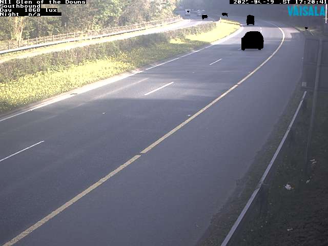
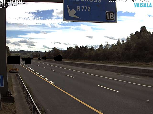
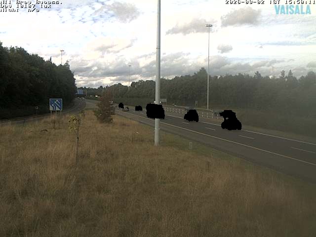
Webcams nahe Scarr
Geschichte rund um Scarr
Orte nahe Scarr
- Greystones19 km entfernt
- Bray22 km entfernt
- Sandyford25 km entfernt
- Tallaght26 km entfernt
- Rathfarnham27 km entfernt
- Dún Laoghaire29 km entfernt