Scarr
641 m2,103 ft
Mountain · Wicklow Mountains · Ireland
Scarr Mountain at 641 metres (2,103 ft), is the 174th–highest peak in Ireland on the Arderin scale, and the 207th–highest peak on the Vandeleur-Lynam scale.
From Wikipedia, CC BY-SA · Read the article
At the summit · forecast for 11:00 PM
11 °CRain · wind 34 km/h from the SW
 See it in 3D
Weather at the summit of Scarr, 641 m
- 11:00 PM11 °CSW 34 km/h1 mm
- 2:00 AM7 °CSW 31 km/h0.1 mm
- 5:00 AM4 °CSW 29 km/h–
- 8:00 AM4 °CSW 35 km/h–
- 11:00 AM7 °CW 32 km/h0.8 mm
- 2:00 PM6 °CW 26 km/h0.8 mm
- 5:00 PM5 °CW 26 km/h–
- 8:00 PM5 °CW 27 km/h–
| Day | Sky | High / low | Rain | Wind up to |
|---|---|---|---|---|
| Tue, Oct 27 | Rain | 10 °C / 4 °C | 2.4 mm | 35 km/h |
| Wed, Oct 28 | Cloudy | 11 °C / 5 °C | 0.1 mm | 30 km/h |
| Thu, Oct 29 | Light rain | 9 °C / 7 °C | 1.8 mm | 27 km/h |
| Fri, Oct 30 | Cloudy | 10 °C / 7 °C | 4.1 mm | 23 km/h |
| Sat, Oct 31 | Light rain | 8 °C / 4 °C | 0.6 mm | 5 km/h |
| Sun, Nov 1 | Partly cloudy | 5 °C / 1 °C | – | 10 km/h |
| Mon, Nov 2 | Mostly clear | 7 °C / 1 °C | – | 12 km/h |
Forecast by MET Norway (CC BY 4.0), updated 07:16 PM GMT. Times are local.
Facts
- What it is
- Mountain
- Height above sea level
- 641 m (2,103 ft)
- Prominence
- 231 m (758 ft)
- Range
- Wicklow Mountains
- Country
- Ireland
- Coordinates
- 53.055°N 6.311°W
- Source
- Wikidata, CC0
Scarr
Mountain in Wicklow, Ireland
Scarr Mountain at 641 metres (2,103 ft), is the 174th–highest peak in Ireland on the Arderin scale, and the 207th–highest peak on the Vandeleur-Lynam scale. Scarr is situated in the central sector of the Wicklow Mountains range, but off main "central spine" of the range that runs from Kippure in the north, to Lugnaquillia in the south.
From Wikipedia, CC BY-SA · Read the article
Peaks near Scarr
- Tonelagee817 m · 4.7 km awayOn the map
- Camaderry699 m · 5.6 km awayOn the map
- Luggala595 m · 5.9 km awayOn the map
- Barnacullian714 m · 6.6 km awayOn the map
- Duff Hill720 m · 7.8 km awayOn the map
- Turlough Hill681 m · 7.8 km awayOn the map
- Gravale718 m · 8.1 km awayOn the map
- Mullaghcleevaun849 m · 8.3 km awayOn the map
- Carrigvore682 m · 8.4 km awayOn the map
- Lugduff652 m · 8.8 km awayOn the map
Highest in the Wicklow Mountains
- Lugnaquilla925 mOn the map
- Mullaghcleevaun849 mOn the map
- Camenabologue758 mOn the map
- Carrigvore682 mOn the map
- Keadeen Mountain653 mOn the map
- Scarr641 mOn the map
Highest mountains in Ireland
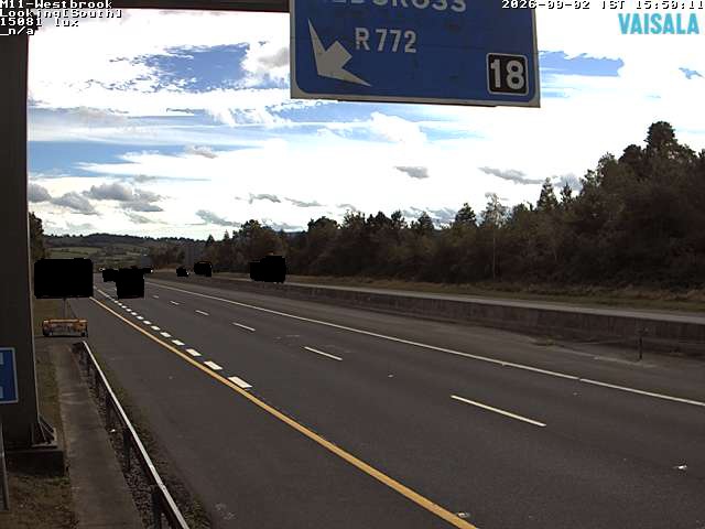
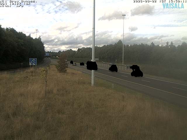
Webcams near Scarr


History around Scarr
Towns near Scarr
- Greystones19 km away
- Bray22 km away
- Sandyford25 km away
- Tallaght26 km away
- Rathfarnham27 km away
- Dún Laoghaire29 km away