 See it in 3D
Facts
- What it is
- Mountain
- Height above sea level
- 817 m (2,680 ft)
- Prominence
- 204 m (669 ft)
- Isolation
- 5.4 km to higher ground
- Range
- Wicklow Mountains
- Country
- Ireland
- Coordinates
- 53.054°N 6.382°W
- Source
- Wikidata, CC0
Peaks near Tonelagee
- Camaderry699 m · 3.3 km awayOn the map
- Barnacullian714 m · 3.5 km awayOn the map
- Turlough Hill681 m · 4 km awayOn the map
- Scarr641 m · 4.7 km awayOn the map
- Mullaghcleevaun849 m · 5.8 km awayOn the map
- Lugduff652 m · 6.3 km awayOn the map
- Conavalla734 m · 6.3 km awayOn the map
- Duff Hill720 m · 7.1 km awayOn the map
- Silsean698 m · 7.4 km awayOn the map
- Moanbane703 m · 7.5 km awayOn the map
Highest in the Wicklow Mountains
- Lugnaquilla925 mOn the map
- Mullaghcleevaun849 mOn the map
- Tonelagee817 mOn the map
- Camenabologue758 mOn the map
- Carrigvore682 mOn the map
- Keadeen Mountain653 mOn the map
Highest mountains in Ireland
- Carrauntoohil1,039 mOn the map
- Mount Brandon952 mOn the map
- Lugnaquilla925 mOn the map
- Galtymore918 mOn the map
- Baurtregaum851 mOn the map
- Mullaghcleevaun849 mOn the map
- Mangerton Mountain838 mOn the map
- Purple Mountain832 mOn the map
- Beenoskee826 mOn the map
- Tonelagee817 mOn the map
Webcams near Tonelagee

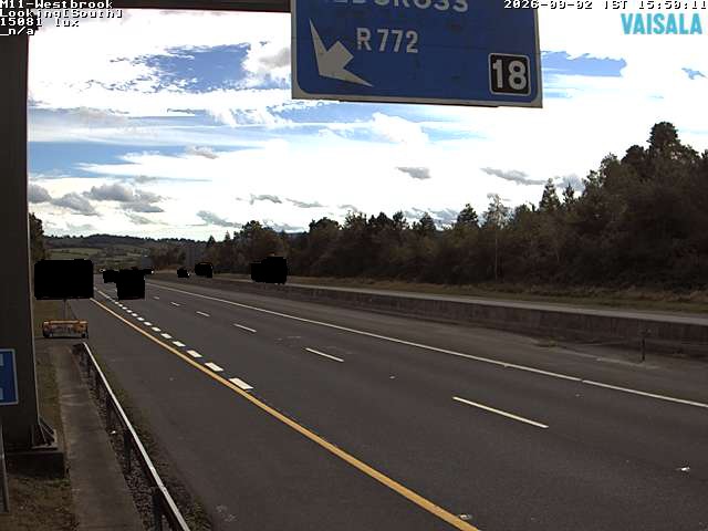
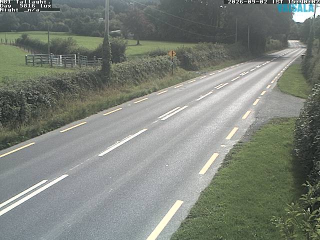
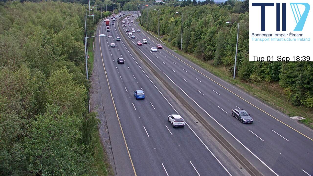

History around Tonelagee
Towns near Tonelagee
- Greystones23 km away
- Bray25 km away
- Tallaght26 km away
- Naas26 km away
- Sandyford27 km away
- Rathfarnham28 km away