Auerberg
1055 m3461 ft
Montaña · Alemania
Auerberg is a foothill of the Alps in Allgäu, Bavaria, Germany. It has a better known sibling, Hoher Peißenberg, 22 km air-line distance to the northeast. Attached to the little church building on the summit, there is an observation platform, reachable via a tight staircase in the tower, which offers great views.
De Wikipedia, CC BY-SA · Leer el artículo
En la cumbre · pronóstico para las 3:00
4 °CNublado · viento de 6 km/h del S
 Verla en 3D
Clima en la cumbre de Auerberg, 1055 m
- 3:004 °CS 6 km/h–
- 6:003 °CSE 5 km/h–
- 9:008 °CE 8 km/h–
- 12:0015 °CNE 7 km/h–
- 15:0015 °CNE 6 km/h–
- 18:009 °CE 3 km/h–
- 21:005 °CSO 9 km/h–
- 0:005 °CSO 14 km/h–
| Día | Cielo | Máx. / mín. | Lluvia | Viento hasta |
|---|---|---|---|---|
| Hoy | Despejado | 16 °C / 2 °C | – | 13 km/h |
| mié, 28 oct | Lluvia | 8 °C / 5 °C | 3,4 mm | 16 km/h |
| jue, 29 oct | Despejado | 7 °C / 2 °C | – | 17 km/h |
| vie, 30 oct | Despejado | 7 °C / 1 °C | – | 13 km/h |
| sáb, 31 oct | Parcialmente nublado | 6 °C / 1 °C | – | 10 km/h |
| dom, 1 nov | Despejado | 9 °C / 0 °C | – | 5 km/h |
| lun, 2 nov | Mayormente despejado | 7 °C / 1 °C | – | 13 km/h |
Pronóstico de MET Norway (CC BY 4.0), actualizado a las 00:20 CET. Horas locales.
Ficha técnica
- Tipo
- Montaña
- Altitud sobre el nivel del mar
- 1055 m (3461 ft)
- País
- Alemania
- Coordenadas
- 47.735°N 10.736°E
- Fuente
- Wikidata, CC0
Auerberg
Auerberg is a foothill of the Alps in Allgäu, Bavaria, Germany. It has a better known sibling, Hoher Peißenberg, 22 km air-line distance to the northeast. Attached to the little church building on the summit, there is an observation platform, reachable via a tight staircase in the tower, which offers great views. An impressive experience is also when the church bells ring just next to you.
De Wikipedia, CC BY-SA · Leer el artículo
Picos cerca de Auerberg
- Gehrenspitze (Alpes de Allgäu)2163 m · a 27 kmEn el mapa
- Kellenspitze2238 m · a 27 kmEn el mapa
- Gimpel2173 m · a 28 kmEn el mapa
- Rote Flüh2108 m · a 28 kmEn el mapa
- Thaneller2341 m · a 34 kmEn el mapa
- Kühgundkopf1907 m · a 34 kmEn el mapa
- Ponten2044 m · a 35 kmEn el mapa
- B'schießer1998 m · a 35 kmEn el mapa
- Gaishorn2247 m · a 35 kmEn el mapa
- Daniel2340 m · a 35 kmEn el mapa
Montañas más altas de Alemania
- Zugspitze2962 mEn el mapa
- Hochwanner2744 mEn el mapa
- Dreitorspitze2682 mEn el mapa
- Hochkalter2607 mEn el mapa
- Biberkopf2599 mEn el mapa
- Großer Hundstod2594 mEn el mapa
- Hochvogel2592 mEn el mapa
- Östliche Karwendelspitze2538 mEn el mapa
- Hocheisspitze2523 mEn el mapa
- Hoher Göll2522 mEn el mapa
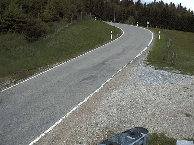
Cámaras web cerca de Auerberg


Historia alrededor de Auerberg
Ciudades cerca de Auerberg
- Marktoberdorfa 10 km
- Kaufbeurena 18 km
- Füssena 18 km
- Kempten (Allgäu)a 32 km
- Weilheima 33 km
- Landsberg am Lecha 36 km