Montañas de Alemania
Brend
1149 m3770 ft
Montaña · Selva Negra · Alemania
The Brend is a mountain, 1,149.3 m above sea level (NHN), in the Central Black Forest in Germany. It is the highest point in the borough of Furtwangen of which it is the Hausberg.
De Wikipedia, CC BY-SA · Leer el artículo
En la cumbre · pronóstico para las 5:00
6 °CLluvia · viento de 13 km/h del NO
 Verla en 3D
Clima en la cumbre de Brend, 1149 m
- 5:006 °CNO 13 km/h0,5 mm
- 8:006 °CNO 16 km/h–
- 11:006 °CNO 13 km/h–
- 14:008 °CNO 10 km/h–
- 17:005 °CN 6 km/h–
- 20:002 °CNE 7 km/h–
- 23:002 °CE 7 km/h–
- 2:001 °CE 9 km/h–
| Día | Cielo | Máx. / mín. | Lluvia | Viento hasta |
|---|---|---|---|---|
| Hoy | Mayormente despejado | 8 °C / 2 °C | 0,5 mm | 16 km/h |
| jue, 29 oct | Despejado | 8 °C / 0 °C | – | 14 km/h |
| vie, 30 oct | Despejado | 9 °C / -0 °C | – | 13 km/h |
| sáb, 31 oct | Mayormente despejado | 9 °C / -0 °C | – | 9 km/h |
| dom, 1 nov | Despejado | 9 °C / 1 °C | – | 6 km/h |
| lun, 2 nov | Parcialmente nublado | 6 °C / 0 °C | – | 14 km/h |
| mar, 3 nov | Parcialmente nublado | 6 °C / -3 °C | – | 7 km/h |
Pronóstico de MET Norway (CC BY 4.0), actualizado a las 02:17 CET. Horas locales.
Ficha técnica
- Tipo
- Montaña
- Altitud sobre el nivel del mar
- 1149 m (3770 ft)
- Cordillera
- Selva Negra
- País
- Alemania
- Coordenadas
- 48.079°N 8.157°E
- Fuente
- Wikidata, CC0
Picos cerca de Brend
- Obereck1178 m · a 4,8 kmEn el mapa
- Rohrhardsberg1153 m · a 6 kmEn el mapa
- Hörnleberg906 m · a 9,9 kmEn el mapa
- Kandel1241 m · a 11 kmEn el mapa
- Schwarzenburg656 m · a 14 kmEn el mapa
- Weißtannenhöhe1191 m · a 16 kmEn el mapa
- Hornberg357 m · a 20 kmEn el mapa
- Hünersedel745 m · a 20 kmEn el mapa
- Hochfirst1190 m · a 20 kmEn el mapa
- Roßkopf (Breisgau)737 m · a 20 kmEn el mapa
Los más altos de Selva Negra
- Feldberg1494 mEn el mapa
- Belchen1414 mEn el mapa
- Stübenwasen1389 mEn el mapa
- Schauinsland1284 mEn el mapa
- Hochkopf1263 mEn el mapa
- Brenntkopf1246 mEn el mapa
- Kandel1241 mEn el mapa
- Hinterwaldkopf1199 mEn el mapa
- Brend1149 mEn el mapa
Montañas más altas de Alemania
- Zugspitze2962 mEn el mapa
- Hochwanner2744 mEn el mapa
- Dreitorspitze2682 mEn el mapa
- Hochkalter2607 mEn el mapa
- Biberkopf2599 mEn el mapa
- Großer Hundstod2594 mEn el mapa
- Hochvogel2592 mEn el mapa
- Östliche Karwendelspitze2538 mEn el mapa
- Hocheisspitze2523 mEn el mapa
- Hoher Göll2522 mEn el mapa
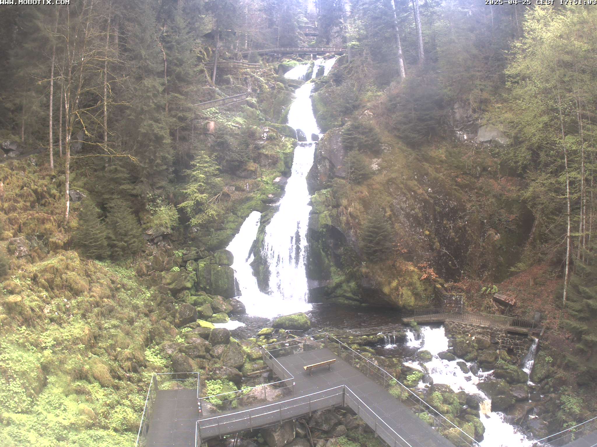
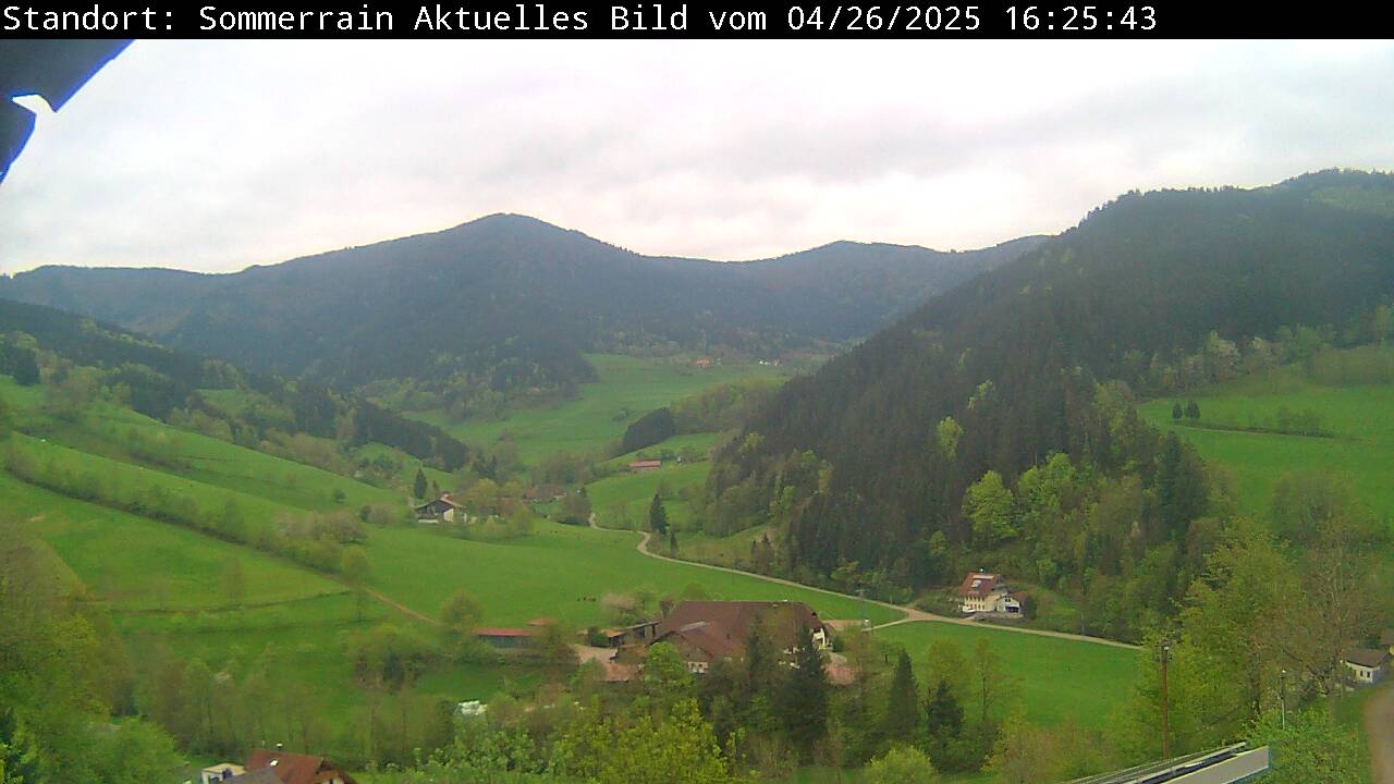
Cámaras web cerca de Brend


Historia alrededor de Brend
Ciudades cerca de Brend
- Waldkircha 14 km
- Wassera 23 km
- Schramberga 23 km
- Friburgo de Brisgoviaa 25 km
- Villingen-Schwenningena 25 km
- Donaueschingena 29 km