Ehrenbürg
532 m1744 ft
Montaña · Jura Francón · Alemania
The Ehrenbürg is a double-peaked butte on the edge of the Franconian Jura in Bavaria, Germany. It is located in the district of Forchheim in Upper Franconia, in the municipalities of Kirchehrenbach, Leutenbach and Wiesenthau. The northern peak is 522 m above NHN high.
De Wikipedia, CC BY-SA · Leer el artículo
En la cumbre · pronóstico para las 4:00
6 °CNublado · viento de 9 km/h del S
 Verla en 3D
Clima en la cumbre de Ehrenbürg, 532 m
- 4:006 °CS 9 km/h–
- 7:007 °CS 10 km/h–
- 10:0010 °CSE 9 km/h–
- 13:0014 °CSE 11 km/h–
- 16:0013 °CSE 9 km/h–
- 19:008 °CSE 13 km/h–
- 22:007 °CSE 12 km/h–
- 1:005 °CSE 8 km/h–
| Día | Cielo | Máx. / mín. | Lluvia | Viento hasta |
|---|---|---|---|---|
| Hoy | Mayormente despejado | 14 °C / 6 °C | – | 13 km/h |
| mié, 28 oct | Parcialmente nublado | 11 °C / 4 °C | 2,6 mm | 15 km/h |
| jue, 29 oct | Despejado | 10 °C / 1 °C | – | 8 km/h |
| vie, 30 oct | Despejado | 10 °C / 2 °C | – | 11 km/h |
| sáb, 31 oct | Mayormente despejado | 10 °C / 3 °C | – | 12 km/h |
| dom, 1 nov | Mayormente despejado | 9 °C / 0 °C | – | 10 km/h |
| lun, 2 nov | Parcialmente nublado | 8 °C / 1 °C | – | 7 km/h |
Pronóstico de MET Norway (CC BY 4.0), actualizado a las 02:17 CET. Horas locales.
Ficha técnica
- Tipo
- Montaña
- Altitud sobre el nivel del mar
- 532 m (1744 ft)
- Cordillera
- Jura Francón
- País
- Alemania
- Coordenadas
- 49.717°N 11.156°E
- Fuente
- Wikidata, CC0
Ehrenbürg
Butte in Bavaria, Germany
The Ehrenbürg is a double-peaked butte on the edge of the Franconian Jura in Bavaria, Germany. It is located in the district of Forchheim in Upper Franconia, in the municipalities of Kirchehrenbach, Leutenbach and Wiesenthau. The northern peak is 522 m above NHN high. The well-known Walberla is a subordinate elevation with a topographic prominence of 6 metres located to its west.
De Wikipedia, CC BY-SA · Leer el artículo
Picos cerca de Ehrenbürg
- Kellerberg340 m · a 6 kmEn el mapa
- Lange Meile517 m · a 9,2 kmEn el mapa
- Friesener Warte562 m · a 16 kmEn el mapa
- Geisberg585 m · a 20 kmEn el mapa
- Kleiner Kulm627 m · a 26 kmEn el mapa
- Neubürg580 m · a 26 kmEn el mapa
- Schloßberg543 m · a 27 kmEn el mapa
- Schmausenbuck390 m · a 30 kmEn el mapa
- Moritzberg (Frankenalb)604 m · a 30 kmEn el mapa
- Reisberg554 m · a 31 kmEn el mapa
Los más altos de Jura Francón
- Laubbichel636 mEn el mapa
- Steinbühl632 mEn el mapa
- Gehäubichel631 mEn el mapa
- Kleiner Kulm627 mEn el mapa
- Auf der Ebene625 mEn el mapa
- Steinberg625 mEn el mapa
- Göschberg621 mEn el mapa
- Kirschbühl615 mEn el mapa
- Ehrenbürg532 mEn el mapa
Montañas más altas de Alemania
- Zugspitze2962 mEn el mapa
- Hochwanner2744 mEn el mapa
- Dreitorspitze2682 mEn el mapa
- Hochkalter2607 mEn el mapa
- Biberkopf2599 mEn el mapa
- Großer Hundstod2594 mEn el mapa
- Hochvogel2592 mEn el mapa
- Östliche Karwendelspitze2538 mEn el mapa
- Hocheisspitze2523 mEn el mapa
- Hoher Göll2522 mEn el mapa
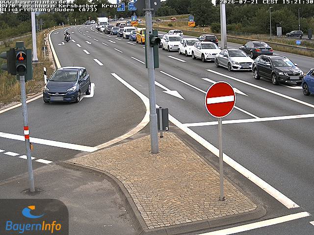
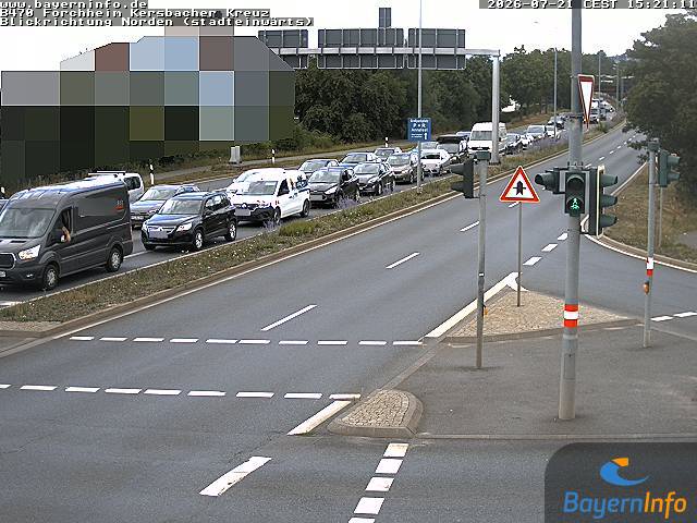
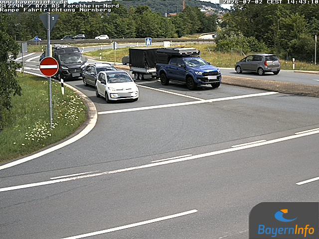
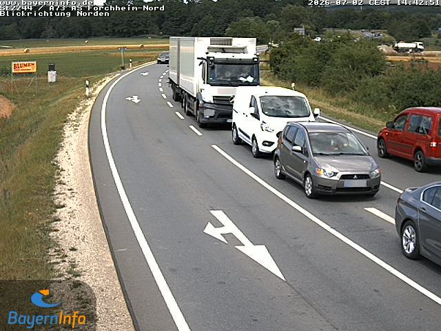
Cámaras web cerca de Ehrenbürg
Historia alrededor de Ehrenbürg
Ciudades cerca de Ehrenbürg
- Forchheima 7 km
- Erlangena 18 km
- Lauf an der Pegnitza 24 km
- Herzogenauracha 26 km
- Bamberga 27 km
- Fürtha 29 km