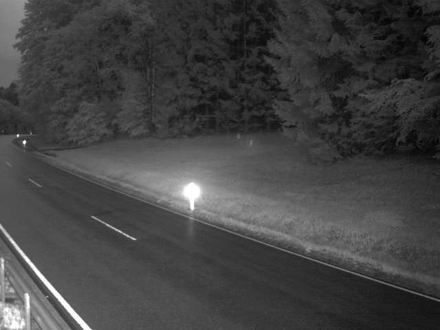
Montañas de Alemania
Friedrichsberg
930 m3051 ft
Montaña · Bosque Bávaro · Alemania
The Lower Bavarian Friedrichsberg is a mountain, 930 m above sea level (NHN), in the southern Bavarian Forest in Germany between the villages of Breitenberg and Wegscheid in the county of Passau not far from the border with Upper Austria.
De Wikipedia, CC BY-SA · Leer el artículo
En la cumbre · pronóstico para las 7:00
2 °CNublado · viento de 8 km/h del NE
 Verla en 3D
Clima en la cumbre de Friedrichsberg, 930 m
- 7:002 °CNE 8 km/h–
- 10:006 °CE 8 km/h–
- 13:0010 °CSE 8 km/h–
- 16:008 °CSE 8 km/h–
- 19:005 °CE 11 km/h–
- 22:004 °CNE 8 km/h–
- 1:004 °CNE 7 km/h–
- 4:004 °CN 4 km/h–
| Día | Cielo | Máx. / mín. | Lluvia | Viento hasta |
|---|---|---|---|---|
| Hoy | Despejado | 10 °C / 2 °C | – | 11 km/h |
| mié, 28 oct | Nublado | 10 °C / 3 °C | 1,2 mm | 14 km/h |
| jue, 29 oct | Mayormente despejado | 8 °C / 2 °C | 0,2 mm | 14 km/h |
| vie, 30 oct | Despejado | 8 °C / -2 °C | – | 12 km/h |
| sáb, 31 oct | Parcialmente nublado | 6 °C / 1 °C | – | 14 km/h |
| dom, 1 nov | Mayormente despejado | 9 °C / -1 °C | – | 7 km/h |
| lun, 2 nov | Nublado | 5 °C / 0 °C | – | 9 km/h |
Pronóstico de MET Norway (CC BY 4.0), actualizado a las 06:20 CET. Horas locales.
Ficha técnica
- Tipo
- Montaña
- Altitud sobre el nivel del mar
- 930 m (3051 ft)
- Cordillera
- Bosque Bávaro
- País
- Alemania
- Coordenadas
- 48.655°N 13.797°E
- Fuente
- Wikidata, CC0
Picos cerca de Friedrichsberg
- Staffelberg793 m · a 11 kmEn el mapa
- Hochficht1338 m · a 13 kmEn el mapa
- Bayerischer Plöckenstein1362 m · a 13 kmEn el mapa
- Plechý / Plöckenstein1379 m · a 14 kmEn el mapa
- Bärenstein1077 m · a 14 kmEn el mapa
- Dreisesselberg1333 m · a 14 kmEn el mapa
- Haidel1166 m · a 20 kmEn el mapa
- Almberg1139 m · a 28 kmEn el mapa
- Hansberg850 m · a 33 kmEn el mapa
- Mayrhofberg654 m · a 33 kmEn el mapa
Los más altos de Bosque Bávaro
- Großer Rachel1453 mEn el mapa
- Kleiner Arber1384 mEn el mapa
- Bayerischer Plöckenstein1362 mEn el mapa
- Großer Falkenstein1315 mEn el mapa
- Enzian1285 mEn el mapa
- Kiesruck1265 mEn el mapa
- Hahnenbogen1257 mEn el mapa
- Waldhäuserriegel1151 mEn el mapa
- Friedrichsberg930 mEn el mapa
Montañas más altas de Alemania
- Zugspitze2962 mEn el mapa
- Hochwanner2744 mEn el mapa
- Dreitorspitze2682 mEn el mapa
- Hochkalter2607 mEn el mapa
- Biberkopf2599 mEn el mapa
- Großer Hundstod2594 mEn el mapa
- Hochvogel2592 mEn el mapa
- Östliche Karwendelspitze2538 mEn el mapa
- Hocheisspitze2523 mEn el mapa
- Hoher Göll2522 mEn el mapa