Großer Auersberg
809 m2653 ft
Montaña · Rhön · Alemania
The Großer Auersberg is a mountain, 818 metres about sea level, in the Bavarian part of the Rhön mountains. It is located in an unparished area, 4.68 km² in area, in the county of Bad Kissingen, three kilometres southwest of the village centre of Wildflecken.
De Wikipedia, CC BY-SA · Leer el artículo
En la cumbre · pronóstico para las 6:00
6 °CNiebla · viento de 15 km/h del NO
 Verla en 3D
Clima en la cumbre de Großer Auersberg, 809 m
- 6:006 °CNO 15 km/h–
- 9:006 °CNO 13 km/h–
- 12:008 °CNO 14 km/h–
- 15:009 °CNO 14 km/h–
- 18:005 °CNO 7 km/h–
- 21:004 °CNO 8 km/h–
- 0:003 °CN 6 km/h–
- 3:003 °CNE 3 km/h–
| Día | Cielo | Máx. / mín. | Lluvia | Viento hasta |
|---|---|---|---|---|
| Hoy | Parcialmente nublado | 9 °C / 3 °C | – | 16 km/h |
| jue, 29 oct | Mayormente despejado | 10 °C / 3 °C | – | 9 km/h |
| vie, 30 oct | Nublado | 8 °C / 3 °C | – | 14 km/h |
| sáb, 31 oct | Parcialmente nublado | 8 °C / 1 °C | – | 8 km/h |
| dom, 1 nov | Nublado | 7 °C / 2 °C | 0,1 mm | 9 km/h |
| lun, 2 nov | Parcialmente nublado | 6 °C / 3 °C | 1,3 mm | 20 km/h |
| mar, 3 nov | Mayormente despejado | 5 °C / -0 °C | 0,3 mm | 12 km/h |
Pronóstico de MET Norway (CC BY 4.0), actualizado a las 02:17 CET. Horas locales.
Ficha técnica
- Tipo
- Montaña
- Altitud sobre el nivel del mar
- 809 m (2653 ft)
- Cordillera
- Rhön
- País
- Alemania
- Coordenadas
- 50.367°N 9.872°E
- Fuente
- Wikidata, CC0
Großer Auersberg
Mountain in Germany
The Großer Auersberg is a mountain, 818 metres about sea level, in the Bavarian part of the Rhön mountains. It is located in an unparished area, 4.68 km² in area, in the county of Bad Kissingen, three kilometres southwest of the village centre of Wildflecken. The Großer Auersberg is covered by dense deciduous forest and lies within the Wildflecken Training Area, established in 1938.
De Wikipedia, CC BY-SA · Leer el artículo
Picos cerca de Großer Auersberg
- Mittelberg880 m · a 5,6 kmEn el mapa
- Kreuzberg928 m · a 7,7 kmEn el mapa
- Große Haube658 m · a 8,6 kmEn el mapa
- Himmeldunkberg888 m · a 8,8 kmEn el mapa
- Feldberg570 m · a 11 kmEn el mapa
- Dreistelzberg660 m · a 13 kmEn el mapa
- Feldberg815 m · a 13 kmEn el mapa
- Großer Nickus558 m · a 13 kmEn el mapa
- Kleiner Nickus488 m · a 13 kmEn el mapa
- Stiftes568 m · a 13 kmEn el mapa
Los más altos de Rhön
- Stirnberg902 mEn el mapa
- Großer Auersberg809 mEn el mapa
- Kleiner Auersberg808 mEn el mapa
- Dalherda Kuppe801 mEn el mapa
- Farnsberg786 mEn el mapa
- Kleiner Guckas751 mEn el mapa
- Buchschirm745 mEn el mapa
Montañas más altas de Alemania
- Zugspitze2962 mEn el mapa
- Hochwanner2744 mEn el mapa
- Dreitorspitze2682 mEn el mapa
- Hochkalter2607 mEn el mapa
- Biberkopf2599 mEn el mapa
- Großer Hundstod2594 mEn el mapa
- Hochvogel2592 mEn el mapa
- Östliche Karwendelspitze2538 mEn el mapa
- Hocheisspitze2523 mEn el mapa
- Hoher Göll2522 mEn el mapa
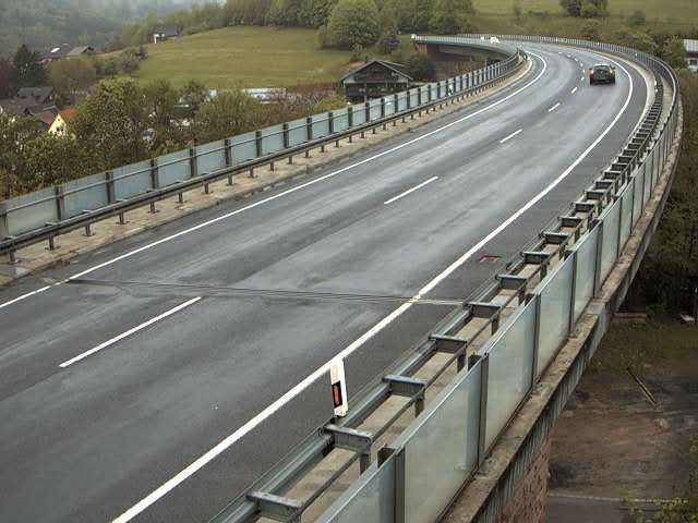
Cámaras web cerca de Großer Auersberg
Historia alrededor de Großer Auersberg
Ciudades cerca de Großer Auersberg
- Künzella 22 km
- Bad Kissingena 23 km
- Petersberga 24 km
- Bad Neustadt an der Saalea 24 km
- Schlüchterna 25 km
- Fuldaa 25 km