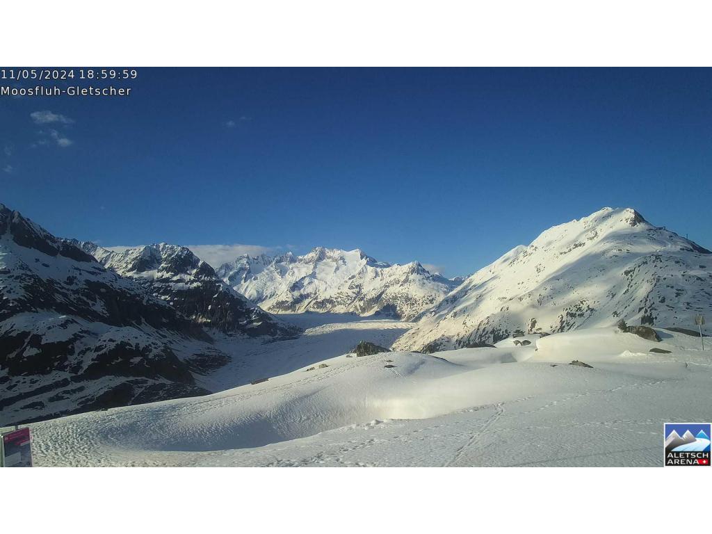
Montañas de Suiza
Verla en 3DGüpfi
2043 m6703 ft
Montaña · Alpes uraneses · Suiza
The Güpfi is a mountain of the Urner Alps, overlooking Lungern in the canton of Obwalden. It lies on the range north of the Chingstuel, between the Lungerersee and the Klein Melchtal.
De Wikipedia, CC BY-SA · Leer el artículo
En la cumbre · pronóstico para las 6:00
2 °CDespejado · viento de 3 km/h del SE
Clima en la cumbre de Güpfi, 2043 m
- 6:002 °CSE 3 km/h–
- 9:008 °CSE 4 km/h–
- 12:0013 °CNO 4 km/h–
- 15:0013 °CNO 4 km/h–
- 18:006 °CN 2 km/h–
- 21:004 °CS 4 km/h–
- 0:00-1 °CSE 6 km/h–
- 3:00-1 °CSE 6 km/h0,1 mm
| Día | Cielo | Máx. / mín. | Lluvia | Viento hasta |
|---|---|---|---|---|
| Hoy | Despejado | 13 °C / 1 °C | – | 5 km/h |
| mié, 28 oct | Niebla | 4 °C / -1 °C | 1,2 mm | 7 km/h |
| jue, 29 oct | Mayormente despejado | 5 °C / -2 °C | – | 8 km/h |
| vie, 30 oct | Despejado | 7 °C / -1 °C | – | 5 km/h |
| sáb, 31 oct | Despejado | 7 °C / -4 °C | – | 5 km/h |
| dom, 1 nov | Despejado | 8 °C / -2 °C | – | 4 km/h |
| lun, 2 nov | Parcialmente nublado | 3 °C / -3 °C | – | 7 km/h |
Pronóstico de MET Norway (CC BY 4.0), actualizado a las 02:17 CET. Horas locales.
Ficha técnica
- Tipo
- Montaña
- Altitud sobre el nivel del mar
- 2043 m (6703 ft)
- Prominencia
- 381 m (1250 ft)
- Cordillera
- Alpes uraneses
- País
- Suiza
- Coordenadas
- 46.796°N 8.195°E
- Fuente
- Wikidata, CC0
Picos cerca de Güpfi
- Brienzer Rothorn2349 m · a 11 kmEn el mapa
- Stanserhorn1898 m · a 19 kmEn el mapa
- Wetterhorn3690 m · a 19 kmEn el mapa
- Titlis3238 m · a 19 kmEn el mapa
- Monte Pilatus2128 m · a 20 kmEn el mapa
- Faulhorn2681 m · a 20 kmEn el mapa
- Schreckhorn4078 m · a 24 kmEn el mapa
- Dammastock3630 m · a 24 kmEn el mapa
- Lauteraarhorn4042 m · a 24 kmEn el mapa
- Galenstock3586 m · a 26 kmEn el mapa
Los más altos de Alpes uraneses
- Dammastock3630 mEn el mapa
- Sustenhorn3503 mEn el mapa
- Fleckistock3417 mEn el mapa
- Diechterhorn3389 mEn el mapa
- Titlis3238 mEn el mapa
- Gross Spannort3198 mEn el mapa
- Schlossberg3133 mEn el mapa
- Güpfi2043 mEn el mapa
Montañas más altas de Suiza
- Pico Dufour4634 mEn el mapa
- Dom4546 mEn el mapa
- Liskamm4532 mEn el mapa
- Weisshorn4505 mEn el mapa
- Cervino4478 mEn el mapa
- Dent Blanche4357 mEn el mapa
- Grand Combin4309 mEn el mapa
- Finsteraarhorn4274 mEn el mapa
- Zinalrothorn4221 mEn el mapa
- Alphubel4206 mEn el mapa