Montañas de Alemania
Hirschberg
1659 m5443 ft
Montaña · Walchenseeberge · Alemania
The Hirschberg is a 1,660 m above sea level (NHN) meter high mountain in the Walchensee Mountains in the Bavarian Prealps. It lies on the border between the municipalities and cadastral of Ohlstadt in the north and Eschenlohe in the south.
De Wikipedia, CC BY-SA · Leer el artículo
En la cumbre · pronóstico para las 11:00
8 °CLluvia fuerte · viento de 14 km/h del N
 Verla en 3D
Clima en la cumbre de Hirschberg, 1659 m
- 11:008 °CN 14 km/h3 mm
- 14:005 °CNO 12 km/h2,2 mm
- 17:004 °CNO 6 km/h1,3 mm
- 20:003 °CNO 5 km/h1 mm
- 23:002 °CN 5 km/h0,3 mm
- 2:002 °CN 4 km/h–
- 5:002 °CN 4 km/h–
- 8:001 °CE 5 km/h–
| Día | Cielo | Máx. / mín. | Lluvia | Viento hasta |
|---|---|---|---|---|
| Hoy | Lluvia | 8 °C / 2 °C | 7,7 mm | 17 km/h |
| jue, 29 oct | Parcialmente nublado | 6 °C / 0 °C | 0,1 mm | 11 km/h |
| vie, 30 oct | Mayormente despejado | 4 °C / -3 °C | – | 11 km/h |
| sáb, 31 oct | Mayormente despejado | 4 °C / -5 °C | – | 6 km/h |
| dom, 1 nov | Parcialmente nublado | 2 °C / -2 °C | 0,3 mm | 4 km/h |
| lun, 2 nov | Nieve fuerte | -1 °C / -2 °C | 14,1 mm | 5 km/h |
| mar, 3 nov | Nieve | -1 °C / -3 °C | 7,1 mm | 5 km/h |
Pronóstico de MET Norway (CC BY 4.0), actualizado a las 00:17 CET. Horas locales.
Ficha técnica
- Tipo
- Montaña
- Altitud sobre el nivel del mar
- 1659 m (5443 ft)
- Cordillera
- Walchenseeberge
- País
- Alemania
- Coordenadas
- 47.601°N 11.241°E
- Fuente
- Wikidata, CC0
Picos cerca de Hirschberg
- Herzogstand1731 m · a 5,2 kmEn el mapa
- Krottenkopf2086 m · a 7,3 kmEn el mapa
- Wank1780 m · a 13 kmEn el mapa
- Friederspitz2049 m · a 23 kmEn el mapa
- Waxenstein2277 m · a 24 kmEn el mapa
- Alpspitze2628 m · a 24 kmEn el mapa
- Dreitorspitze2682 m · a 24 kmEn el mapa
- Birkkarspitze2749 m · a 26 kmEn el mapa
- Höllentalspitzen2743 m · a 26 kmEn el mapa
- Hochwanner2744 m · a 27 kmEn el mapa
Los más altos de Walchenseeberge
- Heimgarten1790 mEn el mapa
- Herzogstand1731 mEn el mapa
- Hirschberg1659 mEn el mapa
- Osterfeuerkopf1357 mEn el mapa
Montañas más altas de Alemania
- Zugspitze2962 mEn el mapa
- Hochwanner2744 mEn el mapa
- Dreitorspitze2682 mEn el mapa
- Hochkalter2607 mEn el mapa
- Biberkopf2599 mEn el mapa
- Großer Hundstod2594 mEn el mapa
- Hochvogel2592 mEn el mapa
- Östliche Karwendelspitze2538 mEn el mapa
- Hocheisspitze2523 mEn el mapa
- Hoher Göll2522 mEn el mapa
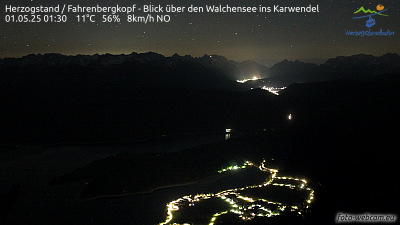
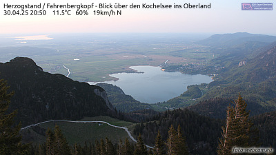
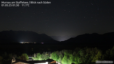
Cámaras web cerca de Hirschberg

Historia alrededor de Hirschberg
Ciudades cerca de Hirschberg
- Garmisch-Partenkirchena 16 km
- Penzberga 20 km
- Weilheima 28 km
- Bad Tölza 30 km
- Geretsrieda 34 km
- Telfsa 35 km