Montañas de Alemania
Humboldthöhe
85 m277 ft
Montaña · Alemania
Humboldthöhe is an approximately 85 meters high rubble hill in the Volkspark Humboldthain in the Gesundbrunnen district of Berlin. It was created after the Second World War by covering the partly demolished Humboldthain Flak Tower with debris.
De Wikipedia, CC BY-SA · Leer el artículo
En la cumbre · pronóstico para las 20:00
10 °CDespejado · viento de 15 km/h del S
 Verla en 3D
Clima en la cumbre de Humboldthöhe, 85 m
- 20:0010 °CS 15 km/h–
- 23:009 °CS 13 km/h–
- 2:007 °CS 11 km/h–
- 5:006 °CS 6 km/h–
- 8:008 °CO 8 km/h1,1 mm
- 11:0011 °CNO 11 km/h–
- 14:0014 °CNO 12 km/h–
- 17:0011 °CNO 9 km/h–
| Día | Cielo | Máx. / mín. | Lluvia | Viento hasta |
|---|---|---|---|---|
| mié, 28 oct | Nublado | 14 °C / 6 °C | 1,1 mm | 13 km/h |
| jue, 29 oct | Nublado | 12 °C / 6 °C | 0,1 mm | 10 km/h |
| vie, 30 oct | Nublado | 12 °C / 10 °C | 0,8 mm | 8 km/h |
| sáb, 31 oct | Nublado | 11 °C / 9 °C | 0,7 mm | 11 km/h |
| dom, 1 nov | Parcialmente nublado | 10 °C / 8 °C | 1,8 mm | 5 km/h |
| lun, 2 nov | Lluvia débil | 11 °C / 8 °C | 2,1 mm | 14 km/h |
| mar, 3 nov | Nublado | 11 °C / 5 °C | 0,3 mm | 17 km/h |
Pronóstico de MET Norway (CC BY 4.0), actualizado a las 12:19 CET. Horas locales.
Ficha técnica
- Tipo
- Montaña
- Altitud sobre el nivel del mar
- 85 m (277 ft)
- País
- Alemania
- Coordenadas
- 52.547°N 13.384°E
- Fuente
- Wikidata, CC0
Picos cerca de Humboldthöhe
- Volkspark Prenzlauer Berg91 m · a 5,4 kmEn el mapa
- Kreuzberg66 m · a 6,6 kmEn el mapa
- Rixdorfer Höhe68 m · a 7,2 kmEn el mapa
- Arkenberge121 m · a 10 kmEn el mapa
- Drachenberg99 m · a 10 kmEn el mapa
- Teufelsberg120 m · a 11 kmEn el mapa
- Mathiasberg50 m · a 21 kmEn el mapa
- Müggelberge115 m · a 22 kmEn el mapa
- Pfingstberg76 m · a 26 kmEn el mapa
- Ruinenberg74 m · a 28 kmEn el mapa
Montañas más altas de Alemania
- Zugspitze2962 mEn el mapa
- Hochwanner2744 mEn el mapa
- Dreitorspitze2682 mEn el mapa
- Hochkalter2607 mEn el mapa
- Biberkopf2599 mEn el mapa
- Großer Hundstod2594 mEn el mapa
- Hochvogel2592 mEn el mapa
- Östliche Karwendelspitze2538 mEn el mapa
- Hocheisspitze2523 mEn el mapa
- Hoher Göll2522 mEn el mapa
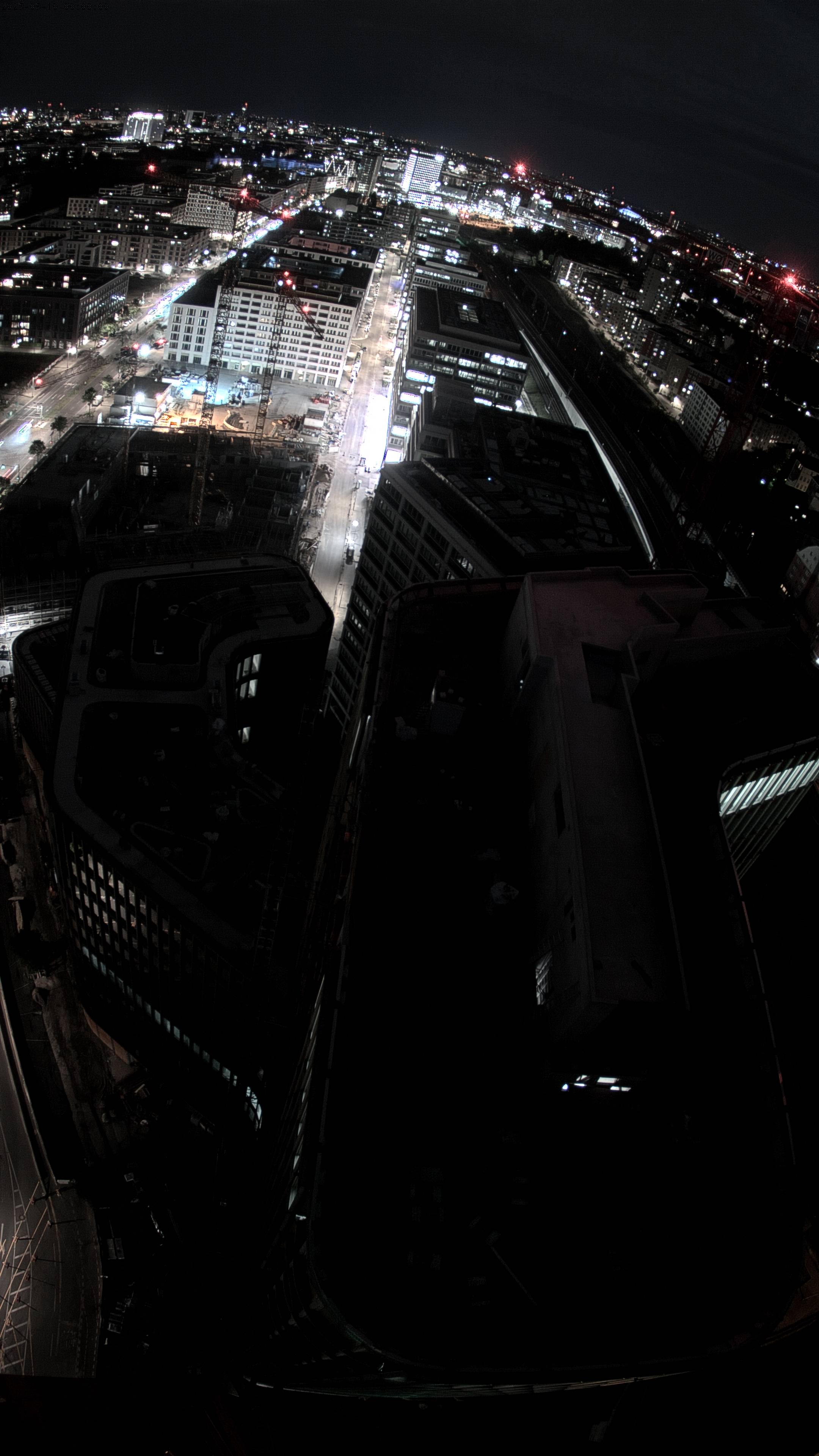
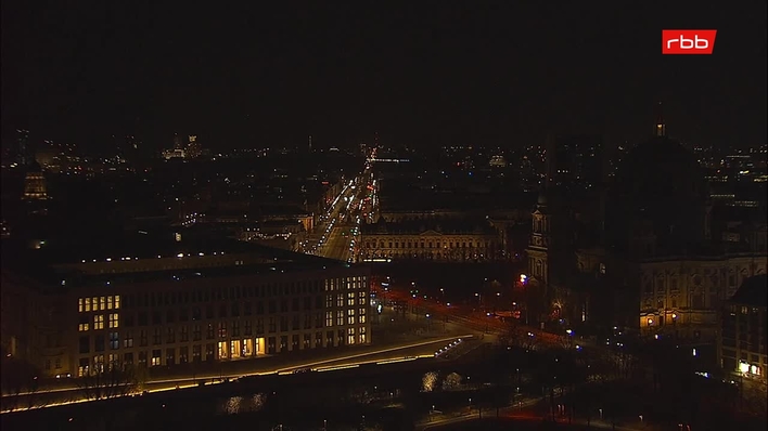
Cámaras web cerca de Humboldthöhe


Historia alrededor de Humboldthöhe
- The 2006 FIFA World Cup takes place in Germany; Italy defeats France in the final2006
- Reichstag fire: Germany's parliament building in Berlin, the Reichstag building, is set on fire under controversial circumstances1933
- Battle of Berlin1945
- Tripartite Pact1940
- Kristallnacht1938
- German Revolution of 1918–19191918
- Berlin truck attack: A truck is deliberately driven into the Christmas market next to the Kaiser Wilhelm Memorial Church at Breitscheidplatz in Berlin2016
- Cold War: The Berlin Blockade begins1948
Ciudades cerca de Humboldthöhe
- Berlína 3,1 km
- Hennigsdorfa 16 km
- Hohen Neuendorfa 16 km
- Teltowa 18 km
- Kleinmachnowa 19 km
- Falkenseea 20 km