Montañas de Alemania
Jochberg
1565 m5135 ft
Montaña · Alpes del Wallgau · Alemania
The Jochberg is a mountain, 1,567 metres (5,141 ft) high, in the Bavarian Alpine Foreland, the first range of mountains of the Alps in southern Germany. The mountain stands between two large lakes, namely Kochelsee and Walchensee.
De Wikipedia, CC BY-SA · Leer el artículo
En la cumbre · pronóstico para las 13:00
14 °CDespejado · viento de 7 km/h del N
 Verla en 3D
Clima en la cumbre de Jochberg, 1565 m
- 13:0014 °CN 7 km/h–
- 16:0011 °CNO 4 km/h–
- 19:006 °CS 3 km/h–
- 22:007 °CS 5 km/h–
- 1:006 °CS 4 km/h–
- 4:005 °CSO 7 km/h–
- 7:004 °CS 4 km/h1,2 mm
- 10:006 °CNE 7 km/h3,3 mm
| Día | Cielo | Máx. / mín. | Lluvia | Viento hasta |
|---|---|---|---|---|
| mié, 28 oct | Lluvia fuerte | 7 °C / 3 °C | 7,5 mm | 10 km/h |
| jue, 29 oct | Mayormente despejado | 8 °C / 0 °C | – | 14 km/h |
| vie, 30 oct | Despejado | 6 °C / -1 °C | – | 7 km/h |
| sáb, 31 oct | Mayormente despejado | 6 °C / -2 °C | – | 8 km/h |
| dom, 1 nov | Despejado | 7 °C / -1 °C | – | 5 km/h |
| lun, 2 nov | Despejado | 5 °C / -3 °C | – | 6 km/h |
| mar, 3 nov | Mayormente despejado | 4 °C / -3 °C | – | 4 km/h |
Pronóstico de MET Norway (CC BY 4.0), actualizado a las 10:22 CET. Horas locales.
Ficha técnica
- Tipo
- Montaña
- Altitud sobre el nivel del mar
- 1565 m (5135 ft)
- Prominencia
- 405 m (1329 ft)
- Aislamiento
- a 4,5 km de un terreno más alto
- Cordillera
- Alpes del Wallgau
- País
- Alemania
- Coordenadas
- 47.626°N 11.372°E
- Fuente
- Wikidata, CC0
Picos cerca de Jochberg
- Herzogstand1731 m · a 5 kmEn el mapa
- Benediktenwand1801 m · a 7,7 kmEn el mapa
- Krottenkopf2086 m · a 16 kmEn el mapa
- Osterseen591 m · a 19 kmEn el mapa
- Worner2474 m · a 20 kmEn el mapa
- Wank1780 m · a 22 kmEn el mapa
- Birkkarspitze2749 m · a 24 kmEn el mapa
- Mondscheinspitze2106 m · a 25 kmEn el mapa
- Kaltwasserkarspitze2733 m · a 25 kmEn el mapa
- Teufelstättkopf1758 m · a 29 kmEn el mapa
Los más altos de Alpes del Wallgau
- Jochberg1565 mEn el mapa
- Rabenkopf1555 mEn el mapa
- Staffel1532 mEn el mapa
- Hirschhörnlkopf1514 mEn el mapa
- Glaswand1496 mEn el mapa
- Latschenkopf1488 mEn el mapa
- Rißer Hochkopf1348 mEn el mapa
- Zwiesel1348 mEn el mapa
- Altlacher Hoch-Kopf1328 mEn el mapa
Montañas más altas de Alemania
- Zugspitze2962 mEn el mapa
- Hochwanner2744 mEn el mapa
- Dreitorspitze2682 mEn el mapa
- Hochkalter2607 mEn el mapa
- Biberkopf2599 mEn el mapa
- Großer Hundstod2594 mEn el mapa
- Hochvogel2592 mEn el mapa
- Östliche Karwendelspitze2538 mEn el mapa
- Hocheisspitze2523 mEn el mapa
- Hoher Göll2522 mEn el mapa
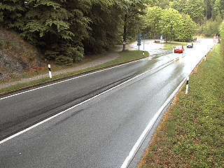
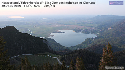
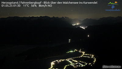
Cámaras web cerca de Jochberg

Historia alrededor de Jochberg
Ciudades cerca de Jochberg
- Penzberga 14 km
- Bad Tölza 21 km
- Garmisch-Partenkirchena 25 km
- Geretsrieda 27 km
- Weilheima 29 km
- Wolfratshausena 32 km