Montañas de Alemania
Kranzhorn
1366 m4482 ft
Montaña · Alpes del Chiemgau · Alemania · Austria
Kranzhorn is a 1,368 m mountain in Tirol, Austria and Bavaria, Germany. It lies on the western edge of the Chiemgau Alps. The German-Austrian border between Bavaria and Tyrol runs across its summit. The Kranzhorn and the opposite Wildbarren formed the Alpine gateway of the Inn Valley Glacier during the Würm glaciation.
De Wikipedia, CC BY-SA · Leer el artículo
En la cumbre · pronóstico para las 10:00
8 °CNublado · viento de 5 km/h del S
 Verla en 3D
Clima en la cumbre de Kranzhorn, 1366 m
- 10:008 °CS 5 km/h0,8 mm
- 13:007 °CNO 12 km/h2,3 mm
- 16:006 °CNO 11 km/h2,8 mm
- 19:005 °CNO 9 km/h1,2 mm
- 22:004 °CNO 6 km/h1,1 mm
- 1:003 °CN 5 km/h0,1 mm
- 4:003 °CNO 4 km/h–
- 7:003 °CN 3 km/h–
| Día | Cielo | Máx. / mín. | Lluvia | Viento hasta |
|---|---|---|---|---|
| Hoy | Lluvia | 9 °C / 4 °C | 8,2 mm | 12 km/h |
| jue, 29 oct | Mayormente despejado | 6 °C / 1 °C | 0,1 mm | 9 km/h |
| vie, 30 oct | Mayormente despejado | 6 °C / -0 °C | – | 10 km/h |
| sáb, 31 oct | Despejado | 5 °C / -3 °C | – | 6 km/h |
| dom, 1 nov | Nublado | 3 °C / -1 °C | 0,1 mm | 6 km/h |
| lun, 2 nov | Nieve fuerte | -1 °C / -2 °C | 18,3 mm | 5 km/h |
| mar, 3 nov | Nieve | -1 °C / -2 °C | 8,6 mm | 6 km/h |
Pronóstico de MET Norway (CC BY 4.0), actualizado a las 00:18 CET. Horas locales.
Ficha técnica
- Tipo
- Montaña
- Altitud sobre el nivel del mar
- 1366 m (4482 ft)
- Cordillera
- Alpes del Chiemgau
- Coordenadas
- 47.701°N 12.184°E
- Fuente
- Wikidata, CC0
Picos cerca de Kranzhorn
- Naunspitze1633 m · a 11 kmEn el mapa
- Petersköpfl1745 m · a 11 kmEn el mapa
- Wendelstein1838 m · a 13 kmEn el mapa
- Kampenwand1669 m · a 15 kmEn el mapa
- Feldberg1813 m · a 16 kmEn el mapa
- Hackenköpfe2126 m · a 16 kmEn el mapa
- Totenkirchl2190 m · a 17 kmEn el mapa
- Fleischbank2186 m · a 18 kmEn el mapa
- Ellmauer Halt2344 m · a 18 kmEn el mapa
- Predigtstuhl2116 m · a 18 kmEn el mapa
Los más altos de Alpes del Chiemgau
- Sonntagshorn1961 mEn el mapa
- Steinplatte1869 mEn el mapa
- Geigelstein1808 mEn el mapa
- Dürrnbachhorn1776 mEn el mapa
- Fellhorn1764 mEn el mapa
- Hochgern1748 mEn el mapa
- Gurnwandkopf1691 mEn el mapa
- Hochfelln1674 mEn el mapa
- Kranzhorn1366 mEn el mapa
Montañas más altas de Alemania
- Zugspitze2962 mEn el mapa
- Hochwanner2744 mEn el mapa
- Dreitorspitze2682 mEn el mapa
- Hochkalter2607 mEn el mapa
- Biberkopf2599 mEn el mapa
- Großer Hundstod2594 mEn el mapa
- Hochvogel2592 mEn el mapa
- Östliche Karwendelspitze2538 mEn el mapa
- Hocheisspitze2523 mEn el mapa
- Hoher Göll2522 mEn el mapa
Cámaras web cerca de Kranzhorn
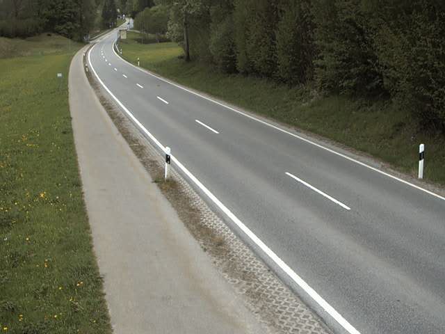 St2093 Nähe Sachrang → Südwestena 5,9 km de la cumbre
B175, Niederndorferberg Rchtg. Kufstein, Blickrichtung Kufsteina 6,3 km de la cumbre
B175, Niederndorferberg Rchtg. Deutschland, Blickrichtung Deutschland,a 6,3 km de la cumbre
 IR night vision | Niederndorferberg Rchtg. Deutschland, B175 km 14.3a 6,3 km de la cumbre
Historia alrededor de Kranzhorn
Ciudades cerca de Kranzhorn
- Rosenheima 18 km
- Kolbermoora 19 km
- Bad Aiblinga 22 km
- Bruckmühla 28 km
- Traunsteina 39 km
- Holzkirchena 41 km