Mount Horrible
Montaña · Estados Unidos
Mount Horrible is a summit of the Blue Mountains in Asotin County, Washington, in the United States. With an elevation of 5,804 feet (1,769 m), Mount Horrible is the 906th highest summit in the state of Washington.
De Wikipedia, CC BY-SA · Leer el artículo
En la cumbre · pronóstico para las 21:00
31 °FParcialmente nublado · viento de 11 mph del SO
Pronóstico del tiempo en Mount Horrible
- 21:0031 °FSO 11 mph–
- 0:0031 °FS 8 mph0,01 pulg.
- 3:0029 °FSO 12 mph–
- 6:0028 °FSO 10 mph0,01 pulg.
- 9:0031 °FSO 10 mph0,07 pulg.
- 12:0033 °FS 9 mph0,06 pulg.
- 15:0034 °FSO 8 mph0,05 pulg.
- 18:0030 °FSO 6 mph0,1 pulg.
| Día | Cielo | Máx. / mín. | Lluvia | Viento hasta |
|---|---|---|---|---|
| mié, 28 oct | Lluvia | 36 °F / 26 °F | 0,29 pulg. | 12 mph |
| jue, 29 oct | Parcialmente nublado | 42 °F / 25 °F | 0,04 pulg. | 6 mph |
| vie, 30 oct | Nublado | 43 °F / 31 °F | 0,02 pulg. | 6 mph |
| sáb, 31 oct | Nublado | 40 °F / 30 °F | 0,08 pulg. | 2 mph |
| dom, 1 nov | Despejado | 37 °F / 26 °F | 0,01 pulg. | 5 mph |
| lun, 2 nov | Nublado | 41 °F / 27 °F | – | 2 mph |
| mar, 3 nov | Mayormente despejado | 46 °F / 35 °F | – | 4 mph |
Pronóstico de MET Norway (CC BY 4.0), actualizado a las 18:17 GMT-7. Horas locales.
Ficha técnica
- Tipo
- Montaña
- País
- Estados Unidos
- Coordenadas
- 46.100°N 117.448°W
- Fuente
- Wikidata, CC0
Mount Horrible
Mountain in Washington (state), United States
Mount Horrible is a summit of the Blue Mountains in Asotin County, Washington, in the United States. With an elevation of 5,804 feet (1,769 m), Mount Horrible is the 906th highest summit in the state of Washington. Along with neighboring Mount Misery, it was named by 19th century pioneers for the difficult conditions they experienced on the Grouse Flat.
De Wikipedia, CC BY-SA · Leer el artículo
Picos cerca de Mount Horrible
- Milk ShakesMontaña · a 37 kmEn el mapa
Montañas más altas de Estados Unidos
- Denali20.308 ftEn el mapa
- Monte San Elías18.009 ftEn el mapa
- Monte Foraker17.402 ftEn el mapa
- Monte Bona16.535 ftEn el mapa
- Monte Blackburn16.390 ftEn el mapa
- Monte Sanford16.237 ftEn el mapa
- Monte Vancouver15.787 ftEn el mapa
- Monte Churchill15.636 ftEn el mapa
- Monte Fairweather15.325 ftEn el mapa
- Mount Hubbard14.951 ftEn el mapa
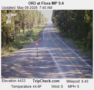
Cámaras web cerca de Mount Horrible
Historia alrededor de Mount Horrible
- Lick Creek Fire2021
Ciudades cerca de Mount Horrible
- Lewiston Orchardsa 48 km
- Lewistona 48 km
- Walla Wallaa 69 km
- College Placea 73 km
- Pullmana 73 km
- Moscowa 78 km