Mount Horrible
Mountain · United States
Mount Horrible is a summit of the Blue Mountains in Asotin County, Washington, in the United States. With an elevation of 5,804 feet (1,769 m), Mount Horrible is the 906th highest summit in the state of Washington.
From Wikipedia, CC BY-SA · Read the article
At the summit · forecast for 9:00 PM
32 °FCloudy · wind 13 mph from the SW
Mount Horrible weather forecast
- 9:00 PM32 °FSW 13 mph0.02 in
- 12:00 AM31 °FSW 8 mph0.02 in
- 3:00 AM30 °FSW 13 mph–
- 6:00 AM28 °FSW 10 mph0.02 in
- 9:00 AM31 °FSW 10 mph0.09 in
- 12:00 PM34 °FSW 9 mph0.06 in
- 3:00 PM34 °FSW 9 mph0.02 in
- 6:00 PM30 °FSW 6 mph0.02 in
| Day | Sky | High / low | Rain | Wind up to |
|---|---|---|---|---|
| Wed, Oct 28 | Sleet | 35 °F / 27 °F | 0.22 in | 13 mph |
| Thu, Oct 29 | Cloudy | 43 °F / 26 °F | 0.04 in | 7 mph |
| Fri, Oct 30 | Light rain | 43 °F / 27 °F | 0.04 in | 4 mph |
| Sat, Oct 31 | Cloudy | 40 °F / 29 °F | 0.02 in | 2 mph |
| Sun, Nov 1 | Cloudy | 33 °F / 24 °F | 0.13 in | 4 mph |
| Mon, Nov 2 | Clear | 39 °F / 26 °F | – | 3 mph |
| Tue, Nov 3 | Cloudy | 42 °F / 33 °F | – | 3 mph |
Forecast by MET Norway (CC BY 4.0), updated 12:17 PM PDT. Times are local.
Facts
- What it is
- Mountain
- Country
- United States
- Coordinates
- 46.100°N 117.448°W
- Source
- Wikidata, CC0
Mount Horrible
Mountain in Washington (state), United States
Mount Horrible is a summit of the Blue Mountains in Asotin County, Washington, in the United States. With an elevation of 5,804 feet (1,769 m), Mount Horrible is the 906th highest summit in the state of Washington. Along with neighboring Mount Misery, it was named by 19th century pioneers for the difficult conditions they experienced on the Grouse Flat.
From Wikipedia, CC BY-SA · Read the article
Peaks near Mount Horrible
- Milk ShakesMountain · 37 km awayOn the map
Highest mountains in United States
- Denali20,308 ftOn the map
- Mount Saint Elias18,009 ftOn the map
- Mount Foraker17,402 ftOn the map
- Mount Bona16,535 ftOn the map
- Mount Blackburn16,390 ftOn the map
- Mount Sanford16,237 ftOn the map
- Mount Vancouver15,787 ftOn the map
- Mount Churchill15,636 ftOn the map
- Mount Fairweather15,325 ftOn the map
- Mount Hubbard14,951 ftOn the map
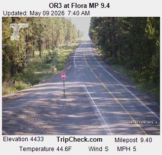
Webcams near Mount Horrible
History around Mount Horrible
- Lick Creek Fire2021
Towns near Mount Horrible
- Lewiston Orchards48 km away
- Lewiston48 km away
- Walla Walla69 km away
- College Place73 km away
- Pullman73 km away
- Moscow78 km away