Montañas de Alemania
Pfaffenberg
432 m1417 ft
Montaña · Spessart · Alemania
Pfaffenberg is a 432-meter-high (1,417 ft) hill of Bavaria, Germany. The Pfaffenberg hill lies in the Spessart range in the districts of Aschaffenburg and Miltenberg.
De Wikipedia, CC BY-SA · Leer el artículo
En la cumbre · pronóstico para las 4:00
9 °CNublado · viento de 9 km/h del SE
 Verla en 3D
Clima en la cumbre de Pfaffenberg, 432 m
- 4:009 °CSE 9 km/h–
- 7:009 °CSE 10 km/h–
- 10:0012 °CS 10 km/h–
- 13:0015 °CS 8 km/h–
- 16:0015 °CSE 6 km/h–
- 19:0010 °CSE 8 km/h–
- 22:009 °CS 8 km/h–
- 1:0010 °CSO 7 km/h1,5 mm
| Día | Cielo | Máx. / mín. | Lluvia | Viento hasta |
|---|---|---|---|---|
| Hoy | Despejado | 16 °C / 9 °C | – | 11 km/h |
| mié, 28 oct | Mayormente despejado | 11 °C / 5 °C | 1,8 mm | 13 km/h |
| jue, 29 oct | Despejado | 12 °C / 1 °C | – | 7 km/h |
| vie, 30 oct | Despejado | 11 °C / 2 °C | – | 9 km/h |
| sáb, 31 oct | Despejado | 10 °C / 2 °C | – | 9 km/h |
| dom, 1 nov | Parcialmente nublado | 10 °C / 1 °C | – | 8 km/h |
| lun, 2 nov | Nublado | 9 °C / 3 °C | – | 6 km/h |
Pronóstico de MET Norway (CC BY 4.0), actualizado a las 02:17 CET. Horas locales.
Ficha técnica
- Tipo
- Montaña
- Altitud sobre el nivel del mar
- 432 m (1417 ft)
- Cordillera
- Spessart
- País
- Alemania
- Coordenadas
- 49.932°N 9.240°E
- Fuente
- Wikidata, CC0
Pfaffenberg (Spessart)
Pfaffenberg is a 432-meter-high (1,417 ft) hill of Bavaria, Germany. The Pfaffenberg hill lies in the Spessart range in the districts of Aschaffenburg and Miltenberg.
De Wikipedia, CC BY-SA · Leer el artículo
Picos cerca de Pfaffenberg
- Weickertshöhe546 m · a 18 kmEn el mapa
- Schanzenkopf343 m · a 19 kmEn el mapa
- Otzberg368 m · a 27 kmEn el mapa
- Horst540 m · a 30 kmEn el mapa
- Schwarzer Berg521 m · a 32 kmEn el mapa
- Wintersberg434 m · a 33 kmEn el mapa
- Markberg516 m · a 36 kmEn el mapa
- Neunkircher Höhe605 m · a 41 kmEn el mapa
- Glauberg277 m · a 45 kmEn el mapa
- Sodenberg481 m · a 45 kmEn el mapa
Los más altos de Spessart
- Querberg567 mEn el mapa
- Hermannskoppe567 mEn el mapa
- Klosterkuppel553 mEn el mapa
- Weickertshöhe546 mEn el mapa
- Steckenlaubshöhe542 mEn el mapa
- Hoher Knuck539 mEn el mapa
- Sohlhöhe531 mEn el mapa
- Schindershöh522 mEn el mapa
- Pfaffenberg432 mEn el mapa
Montañas más altas de Alemania
- Zugspitze2962 mEn el mapa
- Hochwanner2744 mEn el mapa
- Dreitorspitze2682 mEn el mapa
- Hochkalter2607 mEn el mapa
- Biberkopf2599 mEn el mapa
- Großer Hundstod2594 mEn el mapa
- Hochvogel2592 mEn el mapa
- Östliche Karwendelspitze2538 mEn el mapa
- Hocheisspitze2523 mEn el mapa
- Hoher Göll2522 mEn el mapa
Cámaras web cerca de Pfaffenberg


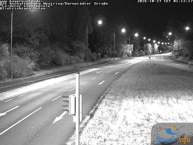
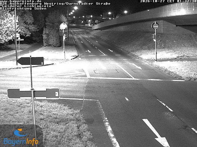
Historia alrededor de Pfaffenberg
Ciudades cerca de Pfaffenberg
- Aschaffenburga 8 km
- Großostheima 12 km
- Babenhausena 21 km
- Alzenau in Unterfrankena 21 km
- Seligenstadta 23 km
- Groß-Umstadta 23 km